Ultra High-Accuracy, Made Accessible
Mapping a water system, helping make the best decisions about building and maintaining a pipeline, allowing a city to know the exact location of each of its trees to better fight the emerald ash borer: Here are some of the reasons why the high-precision receivers designed by the company Eos Positioning Systems are used.
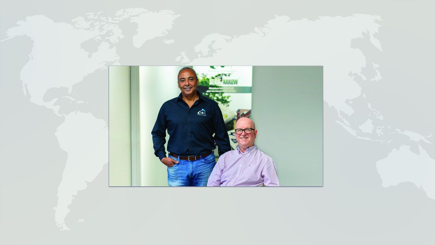
Jean-Yves Lauture had more than two decades of experience in the field when he founded Eos in 2014. The goal was simple: “Develop the next generation of high precision global navigation satellite system (GNSS) receivers.” That’s what he and his team did with the Arrow Series. “We offer the precision of a land surveyor in a small device that is affordable and accessible to everyone,” says Mr. Lauture.
In short, GNSS encompasses all existing artificial satellite constellations: GPS (United States), GLONASS (Russia), Galileo (European Union) and Beidou (China). Except for the Arrow Lite, which uses only the GPS constellation, all devices in the Arrow Series work everywhere on the planet. “Approximately 98% of our devices are exported, mainly to the United States, but also around the world,” says Lauture.
Relocated for the last few months in premises located on Lévis Street, in the Lachenaie Industrial Park, Eos Positioning Systems is already thinking of renting another space nearby for warehousing, so that employees working on either product development or production are not too confined (space wise).
Compatibility
In addition to designing receivers capable of real-time accuracy to within 1 cm, one of the strengths of Eos Positioning Systems is to be compatible with virtually any software, regardless of operating system.
“We decided not to design software. Customers can use whatever they want because our devices are compatible with both Apple products and Android and Windows, whether it’s a phone, tablet or computer,” explained Lauture.
For customers new to GNSS, Eos also offers support and can guide them, initially, through their journey of learning this technology.
Anticipating future customer needs
The challenge for the future of a company like Eos will be to meet potential demands. “You have to listen to what the customers are saying and try to predict what they will need before they know it themselves,” says the electronics engineer. His team and he seem to have already managed to do so, since sales have doubled every year since the creation of the company, reports Mr. Lauture.
This article has been translated from its original French iteration which appeared in Journal La Revue de Terrebonne. The report was done as part of the publication’s Economic Reflection series. View the original article here.
Explore Related Knowledge Base Items
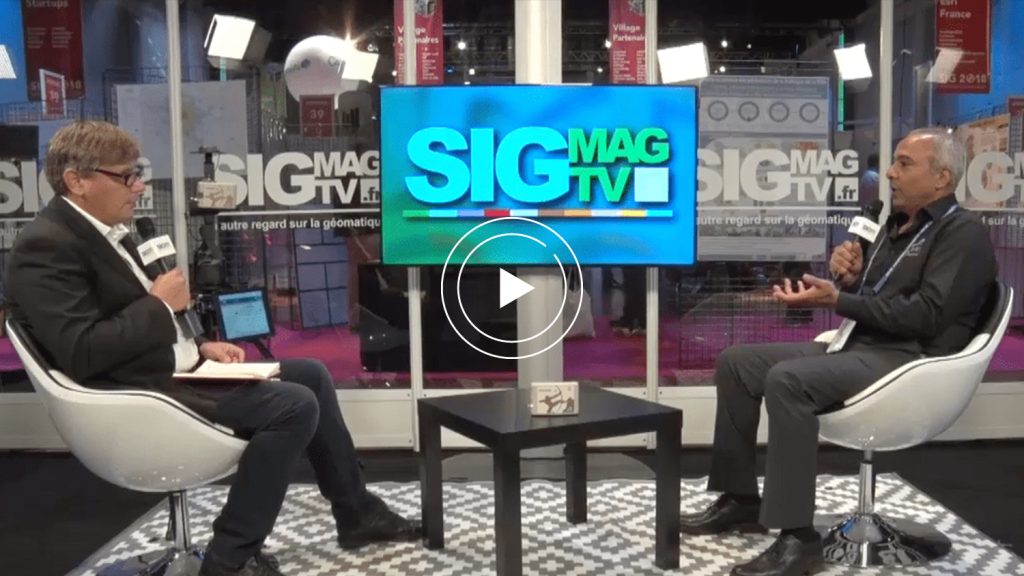
SIGMAG Explores the Simplicity of Arrow GNSS (French)
During the Esri France 2018 GIS (SIG) conference in Paris, we sit down for an Eos interview with SIGMAG.tv to uncover the history and future of mobile GNSS.
Arrow GNSS: Get to Know GNSS Receiver Terminology
What do “SBAS,” “RTK,” “GNSS” and other GPS terms stand for, and what is their significance? This article explains important GNSS acronyms.