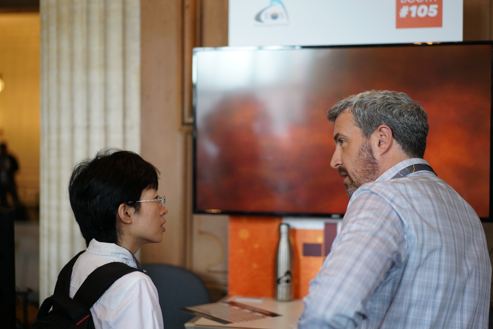

Join Eos Positioning Systems (Eos) — an Esri Silver Sponsor and ArcGIS Online Specialty Partner — at the 2018 Esri Southeast UC in Charlotte. Eos will be at the event from May 2-4. Come by the Eos booth to get a free demonstration of the Arrow receiver for high-accuracy, Esri-compatible workflows.

See how Eos is partnering with Esri to bring submeter and centimeter RTK field data collection to GIS users on any device — including iOS®, Android, and Windows / Windows Mobile. Visit the Eos booth to learn the best practices for pairing a high-accuracy GPS / GNSS receiver with any of your mobile devices, using ArcGIS Collector and Survey123.
2018 Esri Southeast UC Location:
Charlotte Convention Center
501 S. College Street
Charlotte, NC 28202
2018 Esri Southeast UC dates:
Wednesday, May 2, 2018; EXPO 4-6pm
Breakfast, Registration, Plenary, Lunch, Sessions; GIS Solutions Expo & Social
Thursday, May 3, 2018; EXPO 10am-3pm
Breakfast, Registration, Lunch, Sessions; GIS Solutions Expo, Evening Social
Friday, May 4, 2018
Breakfast, Registration, Sessions
Where is the Eos Booth at the 2018 Esri Southeast UC?
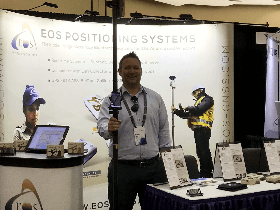
Eos will be in attendance as an exhibitor. You can find us in the expo hall by looking for the familiar faces at Booth 304:
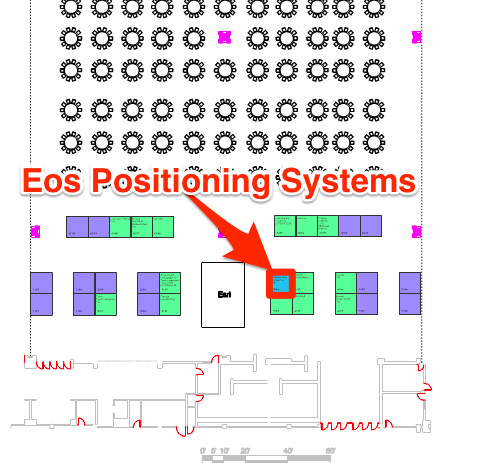
How do you find Booth 304?
Enter the GIS solutions expo hall at the convention center. As you walk toward the lunch tables in the back, look for the Esri booth:
What is the 2018 Esri Southeast UC?
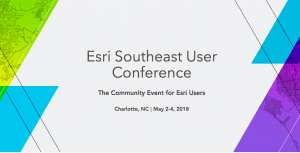 The 2018 Esri Southeast UC is an annual meeting of regional GIS users in the southeastern United States. GIS experts and technology enthusiasts from all over the southeast and nearby areas share how they are applying The Science of Where to real-world problems. They learn how to use new ArcGIS Platform tools and related third-party products, such as the Eos Arrow high-accuracy GNSS receiver. For more information about this event, click here.