Your communities rely on your work, so you need to be able to rely on your GPS provider. Eos Positioning Systems wants to help you identify the best-value GNSS receiver for your budgetary and accuracy needs. Whether you’re brand-new to mobile mapping or a seasoned GNSS expert with specific needs, our team is equipped to help. Our network of experts are standing by worldwide and can assist you in specific questions pertaining to accuracy, pricing, software and device compatibility, field-gear setups, and more.

Survey-Grade Accuracy
In most locations where an SBAS is available, our GNSS receivers use free differential corrections signals to provide at least 30-60 cm accuracy. In some areas with access to a base station or RTK network, you can get centimeter-level accuracy. If you’re not sure what’s available in your area, contact our team. We can walk through your best options.
Contact Our Team >
Supports Rugged and Remote Working Environments
Important field work often takes place in rugged and remote environments. All Eos hardware is ruggedized and waterproof, and we have options for achieving high-accuracy in remote locations from the desert to the tundra. We can also help you identify the most practical gear to take with you.
Explore Our GNSS Accessories >
Supports Any Software
Your nonprofit has a lot of software to choose from. Eos GNSS receivers are designed to support it all, from third-party software to in-house applications. Browse our most popular technology partners, or contact us for a personalized recommendation.
Explore Recommended Apps and Hardware >
One Time Cost
Eos hardware contains no surprise subscription fees. It’s that simple.
Contact Us to Purchase >
Work that Matters
Eos is proud to support nonprofit and not-for-profit organizations. Worldwide, Eos GNSS receivers have been used to help calculate agricultural yield distributions in Haiti, monitor biodiverse gardens in Hawaii, inform Irish policymakers about bog health, locate ancient buried monasteries in Sweden, track sea turtle nesting and erosion on the Atlantic coast, and so much more. Whether you are working toward a better global future, or helping to preserve our collective past, Eos would like to help. Our team would be honored to walk with you through your high-accuracy journey, and our experts are committed to finding you the most accurate and budget-conscience device for your important work.
Nonprofit and Not-for-Profit Organizations Using Eos GNSS Technology
Featured GNSS Success Story
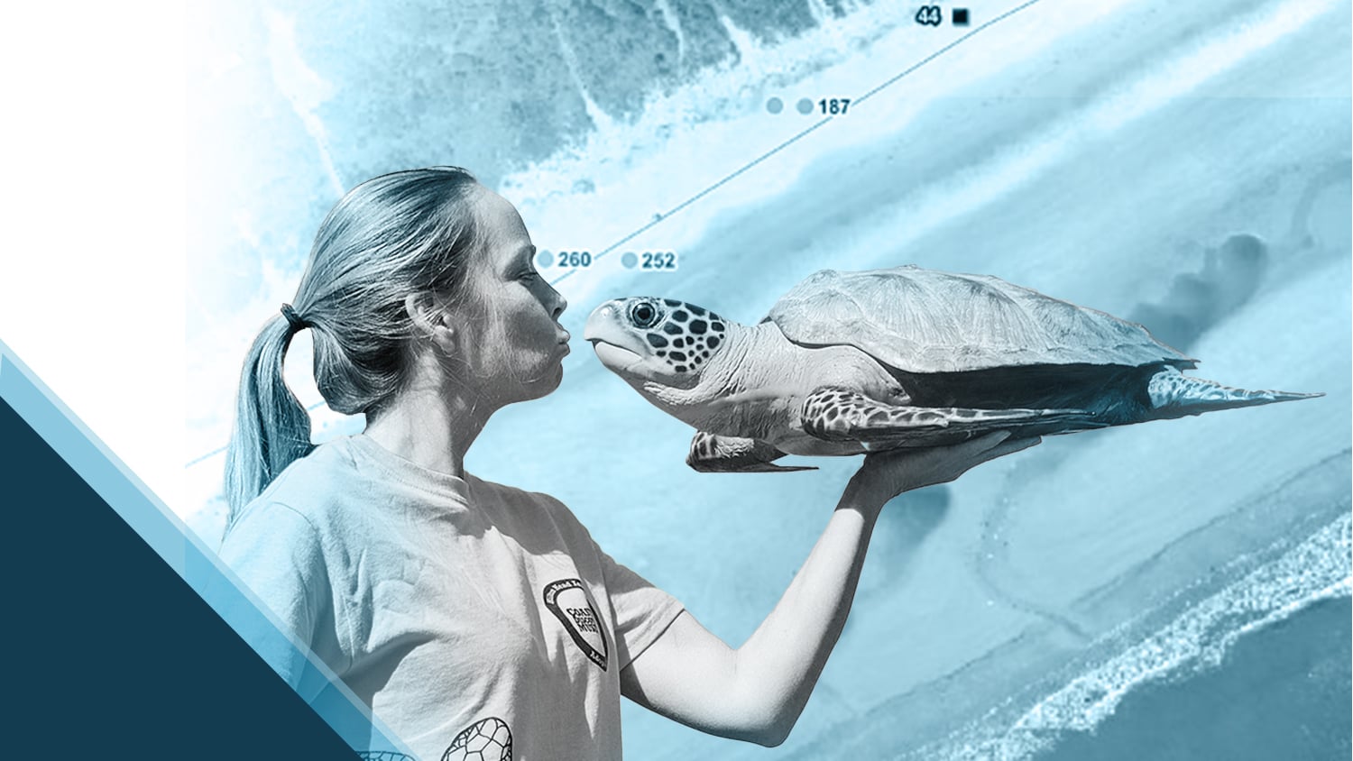
Customer Spotlight: Amber Kuehn Uses High-Accuracy Maps to Protect Endangered Sea Turtle Nests
The moment Amber Kuehn first laid eyes on a sea turtle, she knew she would be spending her life advocating for them. Learn how she uses Arrow GNSS to protect this endangered species.
More InfoEven More Nonprofit and Not-for-Profit GNSS Case Studies
Mapping Unmarked Graves at Indigenous Residential Schools
Sarah Beaulieu combines GPR and GNSS to locate grave locations at Indigenous Residential Schools across Canada.
Locating Potential Bat Habitats in Abandoned Mines with GIS
Bat Conservation International locates bat-friendly habitats with a combination of Esri ArcGIS Apps (e.g., Survey123) and Arrow GNSS receivers.
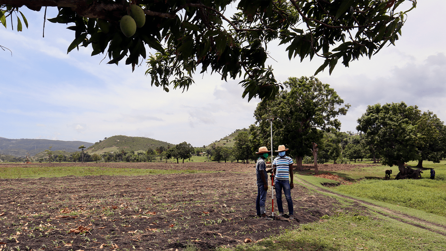
ADF Haiti Strengthens Local Farming Initiative with High-Accuracy Mapping
By replacing physical boundary markers with highly accurate digital records, ADF Haiti enabled the deployment of modern machine technologies that improve farmers’ yield while retaining trust.
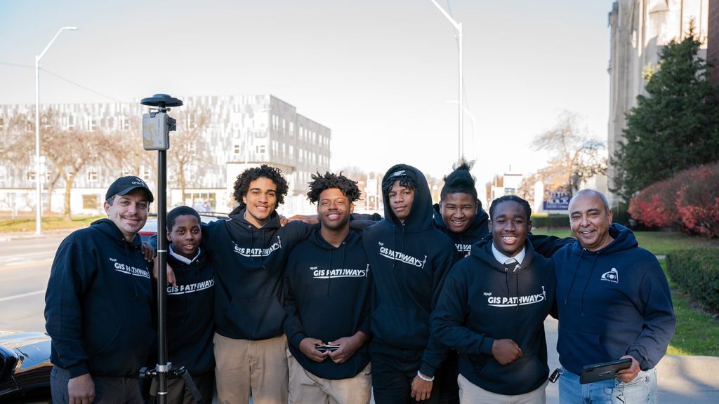
Mapping Dreams: Detroit Students Empower Their Futures with GNSS
Discover how this pivotal program teaches public high schoolers how to use GIS, GNSS, drones, and related technology.
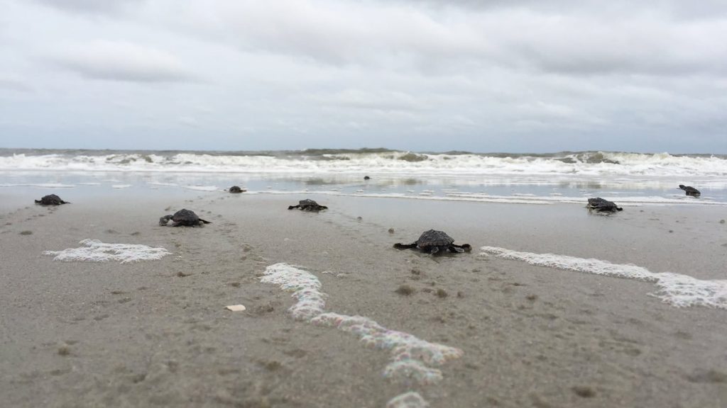
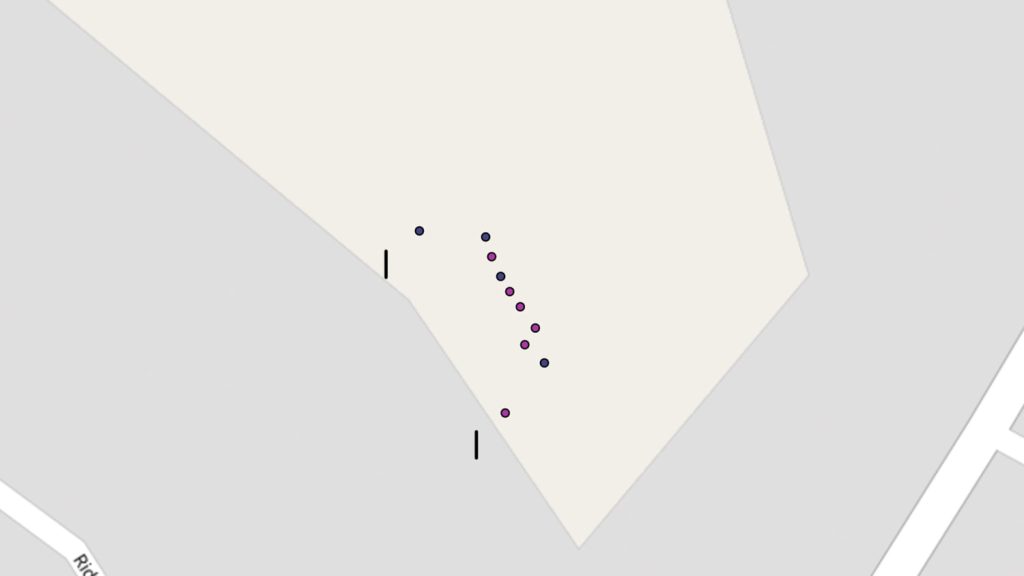
Sea Turtle Patrol Hilton Head Island Protects Endangered Hatchlings with GIS
A nonprofit group in South Carolina uses location-based technology to protect sea turtles, so they can safely hatch and go home to the ocean.
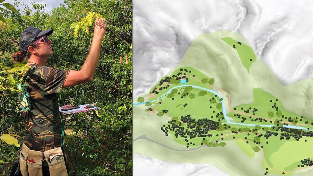
Improving Biodiversity with GNSS at Hawaii’s National Tropical Botanical Garden
In Hawaii, NTBG’s staff have turned the gardens and preserves into safe havens for at-risk species. They use high accuracy to track plants.
Customer Spotlight: Jim Casey combines GIS with philanthropy
In our Sept 2020 customer spotlight, Jim Casey shows us how he is putting his Arrow Gold® GNSS receiver to good use with his drone and AR.
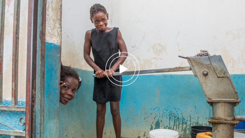
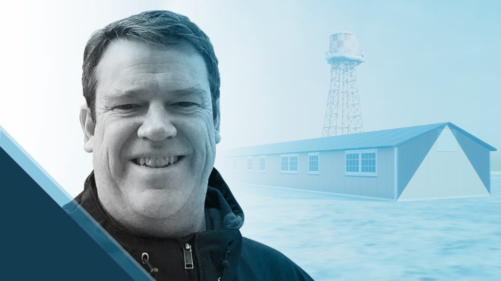
Haiti Outreach Transforms Water Access with High-Accuracy Maps
Neil Van Dine and Jean-Yves Lauture explain how Haiti Outreach uses Arrow GNSS and spatial software to transform the Western Hemisphere’s poorest nation.

