Are you ready to take flight? The use of drones, UAVs, and UAS is one of the most exciting cutting-edge technologies, and it’s becoming more common practice to use drones across a variety of sectors, from local government, utilities and construction to agriculture, vineyards and mining. GNSS receivers from Eos Positioning Systems can provide you with the centimeter-level horizontal and vertical accuracy you need to georeferenced your drone imagery. Keep reading to see why drone pilots across industries are choosing Eos GNSS receivers to set their ground control points (GCPs).

Easy, Repeatable Cm Accuracy
Eos' RTK GNSS receivers allow you to maintain repeatable centimeter-level precision, so your drone imagery is georeferenced with extreme accuracy.
Fly Remote Areas
Even if your work takes place in areas without RTK access, Eos has a solution. Either bring your own Eos mobile base station or choose from three flexible Atlas® subscriptions.
Supports Any Drone or App
Our GNSS receivers are completely agnostic. Use them with any drone model and any mobile app for collecting GCPs.
Browse Drone Successes
See how drones are being deployed with Eos GNSS receivers to set GCPs at vineyards and historical sites, for use with augmented reality, and much more.
Take Flight Knowing Your Accuracy Is Grounded
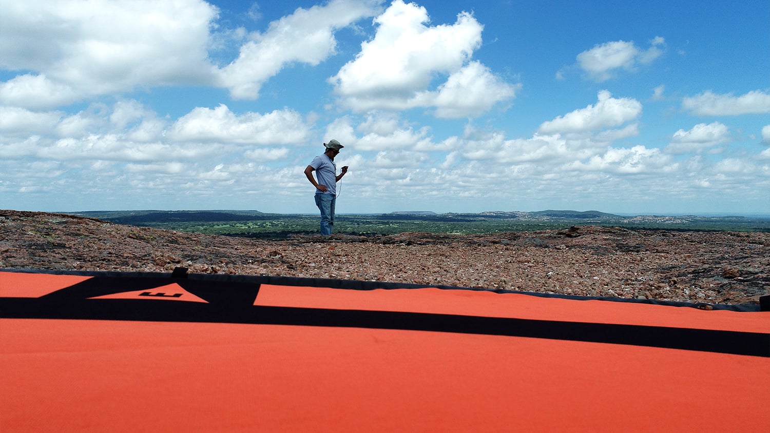
Setting ground control points (GCPs) with Eos GNSS receivers is as easy as it comes. Simply connect to your RTK or base station, shoot a point at each planned GCP, and take flight. Our GNSS receivers work with any mapping software to provide centimeter-level accuracy, so there’s no question your imagery will be properly georeferenced. Perform aerial surveys to monitor natural resource depletion over time, track construction-site progress, survey stream corridors in remote areas, or any other use case you can think of. If you’re not sure what type of GNSS is required, our global network of resellers is available to discuss your specific projects. Simply fill out a contact form to be connected to your local representative.
Customers Using Eos GNSS Receivers With Drones
Featured Success Story
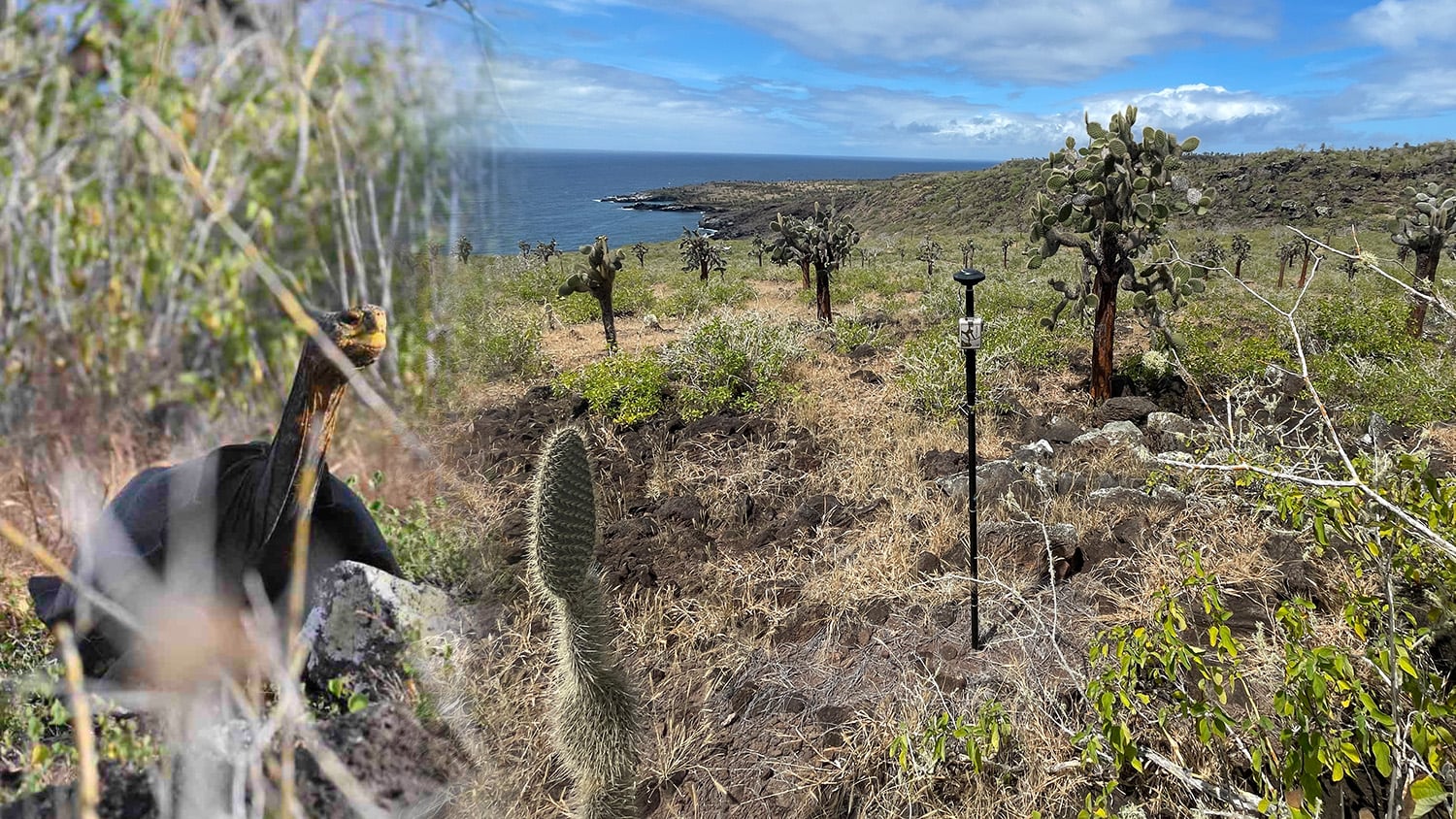
Do Giant Tortoises Make Good Neighbors?
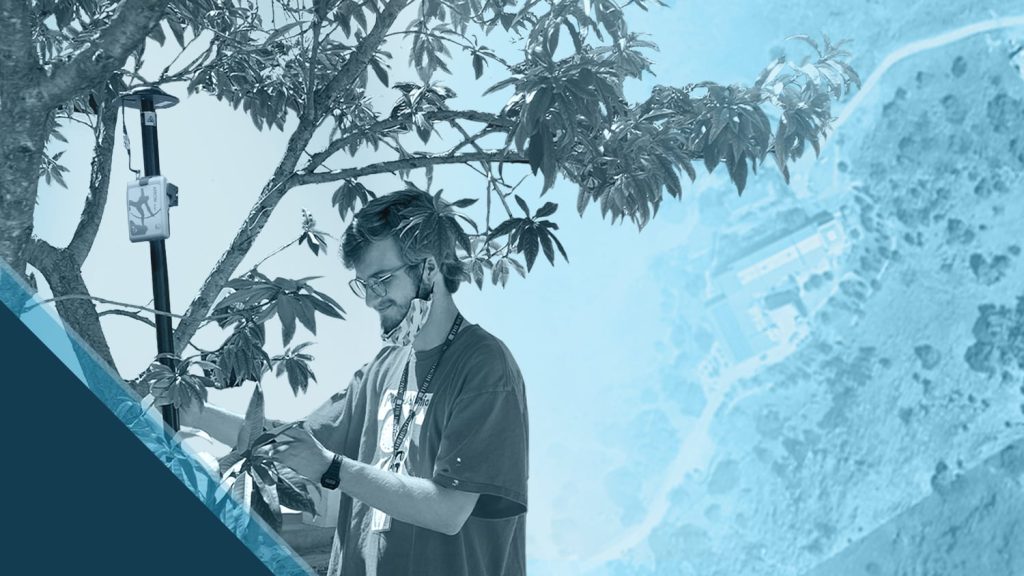
Charles Lehnen uses brand-new Galileo HAS corrections with the Arrow Gold+ in the Galápagos archipelago. His work will study Santa Fe Island's rewilding.
More InfoEven More Drone Case Studies
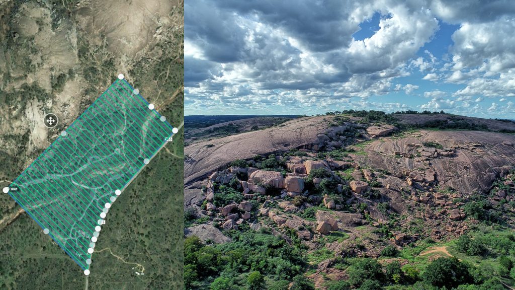
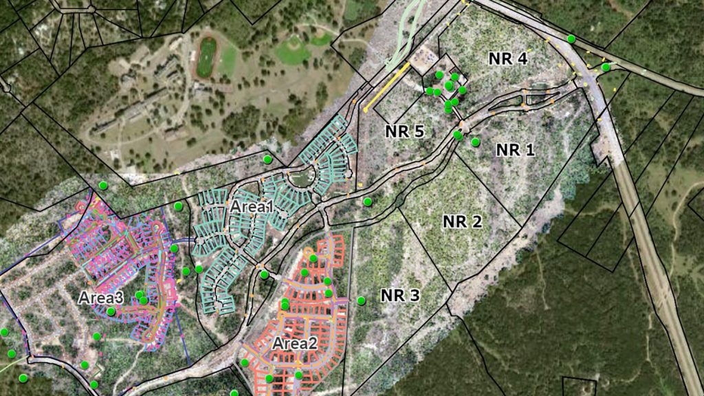
Texas Drone Consultancy Maps Enchanted Rock with UAVs and GNSS
A Texas consultancy provided 3D topo maps and digital elevation models to a park by using Arrow Gold for ground control points, DJI drones & GPS Tracker.
ADF Haiti Strengthens Local Farming Initiative with High-Accuracy Mapping
By replacing physical boundary markers with highly accurate digital records, ADF Haiti enabled the deployment of modern machine technologies that improve farmers’ yield while retaining trust.
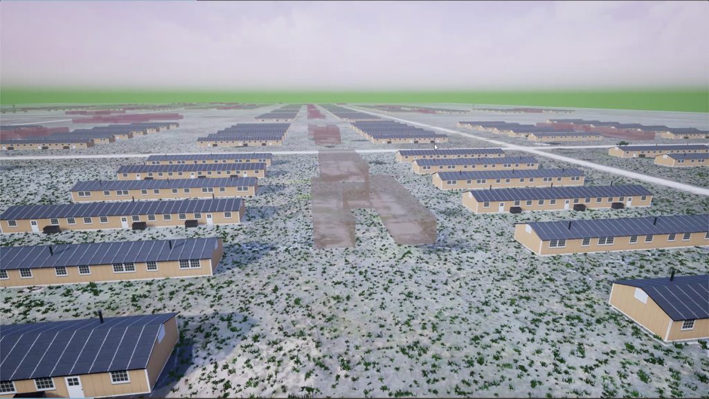
Mapping Amache Internment Camp with High Accuracy
Arrow Gold for Ground Control Points: Over 110,000 Japanese Americans were interned in WWII. One man is using GIS, GPS, and AR to make sure we remember.
Customer Spotlight: Will Forker Represents Reality in Accurate 3D Models
Using drones, high-accuracy Eos GNSS receivers, and ArcGIS, Will is creating geospatially referenced 3D models for his clients.
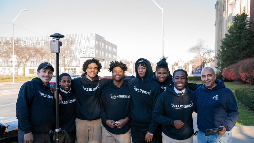
Mapping Dreams: Detroit Students Empower Their Futures with GNSS
Discover how this pivotal program teaches public high schoolers how to use GIS, GNSS, drones, and related technology.
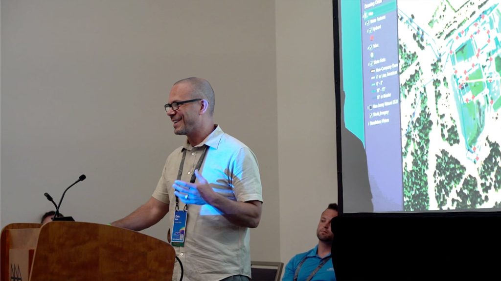
American Water: Upgrading Data Collection and Drones [A 2022 Esri UC Session]
New Jersey American Water shares how they updated GNSS technology to save money, reduce time spent, and increase accuracy.
Managing a construction site with UAVs, GNSS and web GIS
See how stakeholders in Texas benefitted from real-time UAV data captured and shared using ArcGIS Drone2Map, ArcGIS Online, and Eos GNSS receivers.

Customer Spotlight: Summer Roberts Pairs Winemaking with GIS
Did you know GIS might be behind your glass of wine? Learn how Summer Roberts uses GNSS to map vineyard properties in California.


