
The Magic of Location™
If you are looking for reliable, repeatable, and real-time GNSS locations in your mobile workflow, you are in the right place. Eos Positioning Systems designs and manufactures professional, affordable GNSS receivers that provide submeter to centimeter level accuracy to any iOS, Android, or Windows mobile device. Our Arrow Series® GNSS receivers can provide these submeter GPS and RTK GNSS locations to any data-collection app on the market. If you are looking for an accurate and affordable GNSS receiver, we encourage you to browse our website and contact us today.
What Makes the Eos Arrow Series® GNSS Special?
Device and App Friendly
All Eos Positioning Systems hardware is designed to work with any consumer mobile device, including iOS, Android and Windows. In addition, Arrow Series® GNSS receivers work with any data-collection app, whether it’s a partner app or your own proprietary mobile app.
Variety of Accuracy Levels
Eos offers a variety of models of Arrow Series® GNSS receivers. Each model provides either submeter, subfoot, or centimeter-level accuracy, depending on the differential correction source used.
Access to Software and Solutions
Eos offers a variety of software and solutions to enhance your experience with our GNSS hardware. Every Arrow Series® GNSS receiver includes access to free GNSS monitoring software and optional GNSS solutions.
- Submeter GNSS Receivers
- Centimeter-Level GNSS Receivers
Worldwide Submeter and Centimeter Accuracy
Arrow Series® GNSS receivers are designed to be used with a variety of differential correction sources. Each source is available regionally, based on where your field work occurs. Eos can help you determine which Arrow GNSS receiver model and accompanying differential correction source will give you the best value and accuracy. Below are the most commonly used differential correction sources supported by Arrow Series® GNSS receivers:
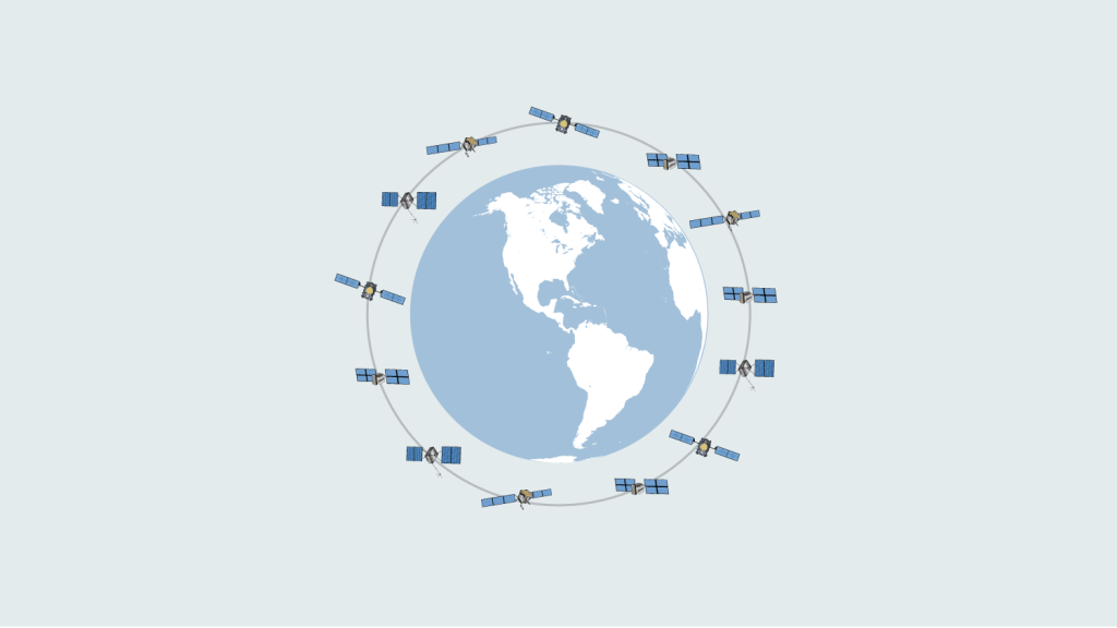
SBAS
Satellite Based Augmentation Systems (SBAS) are free, regional differential correction services that provide 30-60cm average accuracy with Eos GNSS receivers.
View SBAS Coverage Worldwide >
Galileo HAS
Galileo High-Accuracy Service (HAS) provides 10-20cm average accuracy with the Arrow Gold+. Galileo HAS is a free differential correction service available globally.
Learn About Galileo HAS >
RTK Networks
Real-Time Kinematic (RTK) networks are free or paid, public or private sources of cm-level corrections. Our GNSS receivers support all existing RTK networks.
Learn about RTK >

Base Station
Base stations are reference stations that broadcast centimeter-level differential corrections to an approximate 50 km (31 mi) radius. The Arrow Gold® can be installed and operated as a private base station.
Learn about the Arrow Gold® >
Atlas® Service
Atlas® service is a paid satellite subscription that provides 4-50cm accuracy worldwide. It is recommended in places where SBAS, RTK networks and base stations are not available.
Learn about Atlas® >
What Customers Are Saying
Designed to Work With Partner Software and Hardware
Eos Positioning Systems partners with a variety of software and hardware providers. This ensures your Arrow GNSS receiver seamlessly integrates with the world’s leading mobile mapping technologies. Browse some of the partner technologies we recommend, such as data-collection apps that have integrated support for the Arrow Series®:
Explore Eos Solutions
Eos offers a number of advanced mobile mapping solutions. These solutions are free, but require Eos hardware and some partner technologies. Our two leading solutions include Eos Locate ™ for underground utility mapping, and Eos Laser Mapping™ for mapping assets from afar. Learn more about each:

Eos Locate™ for ArcGIS®

Eos Laser Mapping™ for ArcGIS
Browse Our Latest Success Stories

Customer Spotlight: Sarah Beaulieu Honors Indigenous History with GNSS
Learn how Sarah uses GNSS and GPR to map gravesites at Indigenous Residential Schools with precision and respect.
More Info
Resort Municipality of Whistler Empowers Departments with Accurate GNSS Data
The Resort Municipality of Whistler equips departments with a high-accuracy mobile data collection workflow to support grant applications.
More Info
Customer Spotlight: Kyle Emery Charts Coastal Change with GNSS
Dr. Kyle Emery leverages high-accuracy GNSS and drone imagery to deepen our understanding of coastal change.
More InfoKnowledge Base: Discover Resources To Get You Started
Learn
Do you want to learn about GNSS, GEOID models, drones, datum shifts and more? Browse our knowledge base for informative articles.
Watch
Whether you want to pair your Arrow GNSS receiver to your device via Bluetooth® or follow along with step-by-step instructions for solutions like Eos Locate™, we have a video for you.
Download
Our user manuals and quick start guides give you everything you need to get started with Eos products and solutions.
Most Recent Posts:
Eos Tools Pro App Configuration for Mobile Device Management (MDM)
This MDM guide will walk you through how to configure common Eos Tools Pro settings for multiple field workers across an organization. Includes sample code.
GPS Overview Part 1: What is GPS and GNSS Positioning?
Discover how GPS and GNSS technologies enable the calculation of positions on the surface of the planet.
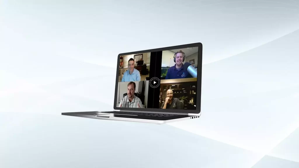
4 Free GPS Training Workshops: Start-to-Finish Training
Eos Positioning Systems was pleased to offer 4 live GPS training workshops for various ArcGIS apps. Contact Eos to request a recording.
Subscribe to Our Monthly Newsletter
Each month, Eos publishes a newsletter containing our most recent case studies, product and company updates, new training resources, GNSS updates, the next month’s events where you can find our team, and more.
Contact Us to Get Started
Eos Positioning Systems provides quick replies to all inquiries. If you are interested in purchasing an Arrow Series® GNSS receiver or other Eos hardware and solutions, please contact our team. For sales inquiries, we will connect you with an authorized local distributor based on your location. If you are an existing customer who has a question for our technical support team, please fill out a technical support request.