Our success starts and ends with our customers. Each month, Eos feature new stories and customer spotlights to highlight how professionals around the world are taking advantage of submeter and centimeter locations in their mobile mapping workflows. Browse case studies, videos, customer spotlights and more to gain ideas on how external GNSS receivers can help transform work at your organization.
Filter items by the following categories
The City of Saline brought GIS in house, deployed high-accuracy GNSS receivers, and is working toward a streamlined longterm master plan.
David provides community infrastructure solutions to municipalities using high-accuracy GNSS and GIS technologies.
Emily Jane Murray maps coastal archaeological sites before their valuable history is lost to rising sea levels.
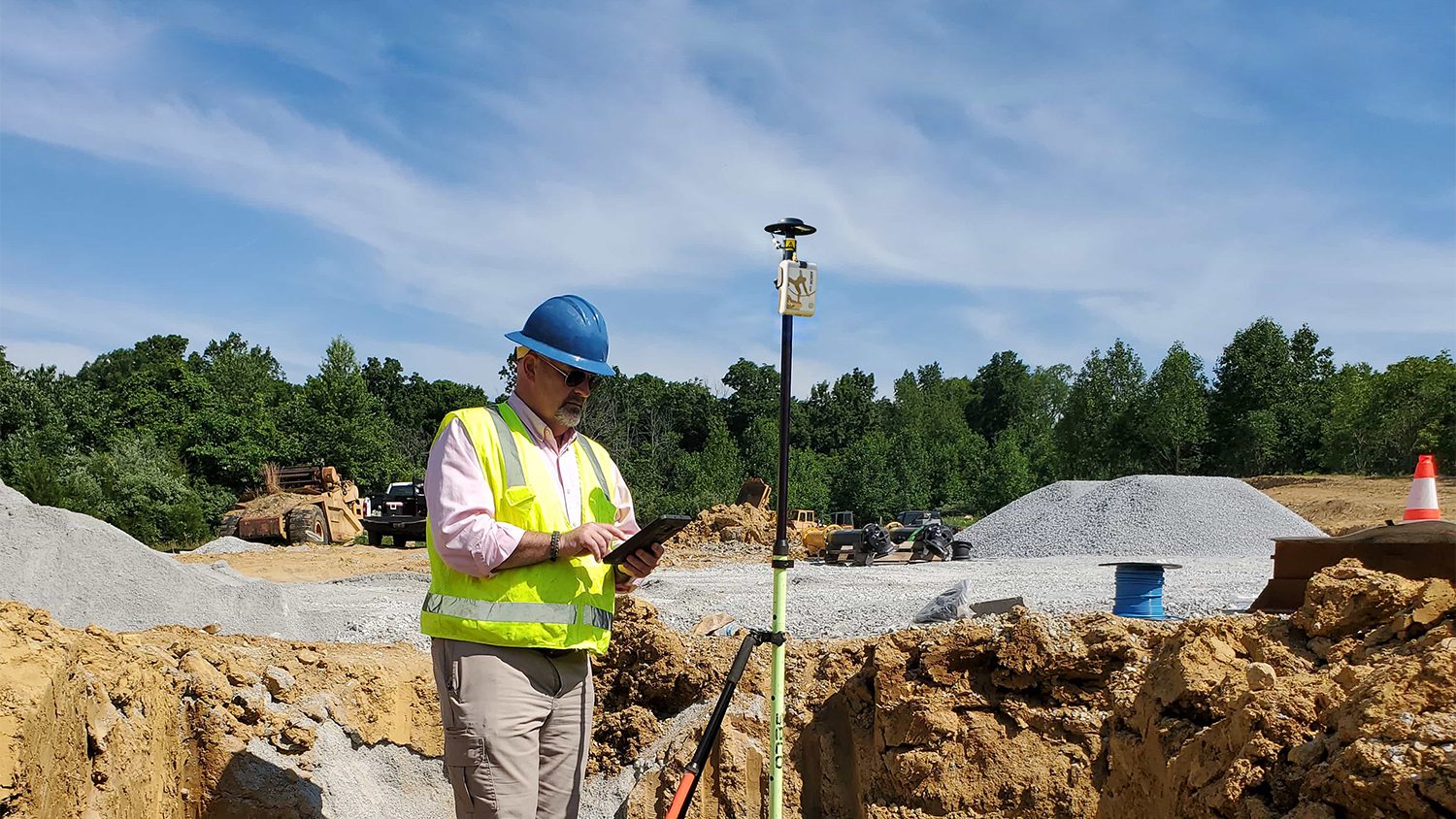
TOUA collected accurate, geospatial data for 710 miles of distribution conductors in Arizona heat. See how their records improved!
FPAN archaeologists and volunteers map historical sites and coastal erosion (in 3D!) to quantify erosion rates as Florida's sea levels rise.
Benson Crowell created highly accurate site plans to improve campus maintenance across Texas. This spotlight is dedicated to his legacy.
Can high-accuracy GNSS and GIS integrate with CAD? Discover how in this recorded 2022 Esri UC presentation.
By modernizing its GNSS technology, Sheboygan Falls Utilities overcame challenges posed by decades-old as-built data.
B. J. Malone implemented high-accuracy GNSS workflows to locate above and below-ground water assets precisely and efficiently.
Warren Water mapped wastewater assets with centimeter-level accuracy to help engineers with hydraulic modeling.
New Jersey American Water shares how they updated GNSS technology to save money, reduce time spent, and increase accuracy.
Belgian rail company Infrabel improved worker safety by using high-accuracy GIS to track train and worker movements.