Centimeter, Decimeter and Submeter Accuracy Anywhere in the World
Atlas® is a worldwide GNSS differential correction service, offering the most innovative base station-free corrections via L-Band satellites at accuracies ranging from meter level to a few centimeters. Several Eos GNSS receivers — including the Arrow 100+ ™, Arrow Gold®, Arrow Gold+™, Skadi Gold™, Skadi 300™, and Skadi 100™ — may be used with an Atlas correction subscription, thanks to their L-Band support. Depending on the level of subscription you choose, this correction source can provide high-accuracy worldwide positioning to your smartphone, tablet, or computer. With numerous reference stations worldwide and L-Band satellites distributing coverage from 75°N to 75°S, all of the earth’s landmass is covered. As an added benefit, when an Eos GNSS receiver is subscribed to an Atlas H10 service, SafeRTK® takes over when your RTK network becomes unavailable and maintains your accuracy for the rest of the outage period.
Service Levels Available
Atlas® H10 Subscription
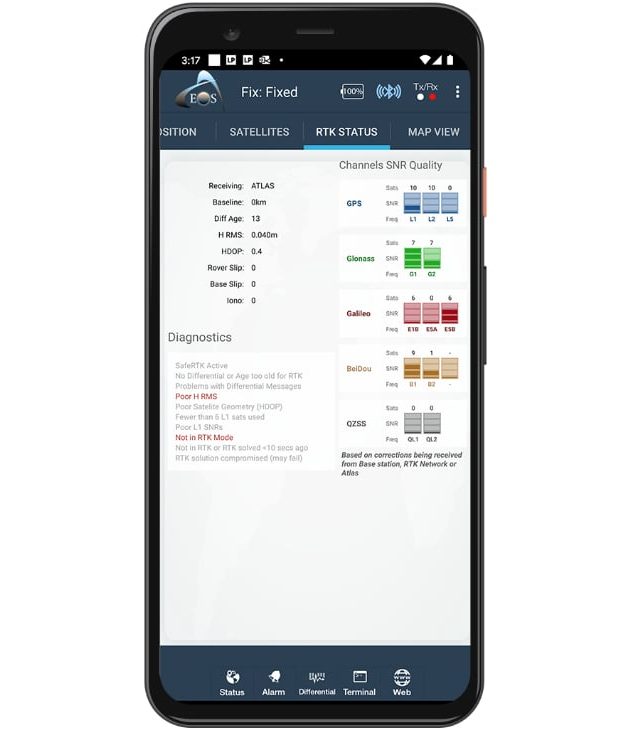
Eos GNSS receivers deliver 4 cm accuracy to any device when subscribed to the Atlas® H10 service. Compatible Eos receivers include the Arrow Gold®, Arrow Gold+™, Skadi 300™, and Skadi Gold™.
Atlas® H30 Subscription
The H30 subscription provides 15-30 cm (subfoot) accuracy in the same manner as the H10 service. Compatible Eos receivers include the Arrow Gold®, Arrow Gold+™, Skadi 300™, and Skadi Gold™.
Atlas® H50 Subscription
When your application requires submeter accuracy, the H50 service, which provides 30-50 cm worldwide, comes with a one-time lifetime subscription. Compatible Eos receivers include the Arrow 100+™, Skadi 100™, Arrow Gold®, Arrow Gold+™, Skadi 300™, and Skadi Gold™.
What to Know about Atlas® Convergence Times
How Long Does Atlas® Take to Converge?
It Depends Which Subscription You Take
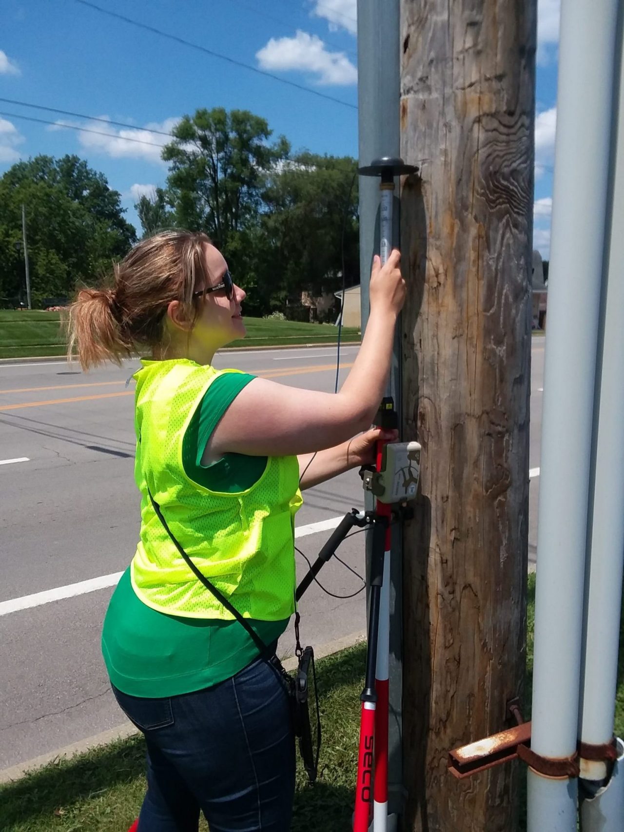
Certain models of Arrow Series® and Skadi Series™ GNSS receivers use the Atlas® signal in a similar way that they use the carrier phase from an RTK network. The difference is that the correction methods used by Atlas® are global as opposed to local corrections from a base station or an RTK network. Because of this, Atlas® requires a longer convergence time than RTK to achieve the specified accuracy.
- H10 service: Typical convergence time (to decimeter) varies between 12 to 20 minutes depending on the status of GNSS constellation.
- H30 service: An average of 4-5 minutes is required.
- H50 service: Reaching submeter is nearly immediate.
Once convergence is achieved and since carrier phase is used, the accuracy will remain consistent (and even improve in time) as long as the Arrow’s antenna maintains a clear, unobstructed view of the sky.
Which Eos GNSS Receivers Support Atlas® Service?
Arrow 100+™
The Arrow 100+™ (plus model) can be used with an Atlas® H50 subscription worldwide for submeter (30 cm HRMS) when no SBAS is available.
Arrow Gold™
TheThe Arrow Gold+™ can be used with Atlas® H10, H30, and Basic H50 subscriptions for 4-50cm accuracy worldwide.
Skadi Gold™
When no survey-grade correction source is available, we recommend the Skadi Gold™, which supports all Atlas® subscription services for 4-50cm accuracy worldwide and provides advanced RTK mapping capabilities to enhance your productivity.
How Atlas® Service Works
Learn about this L-Band differential correction source
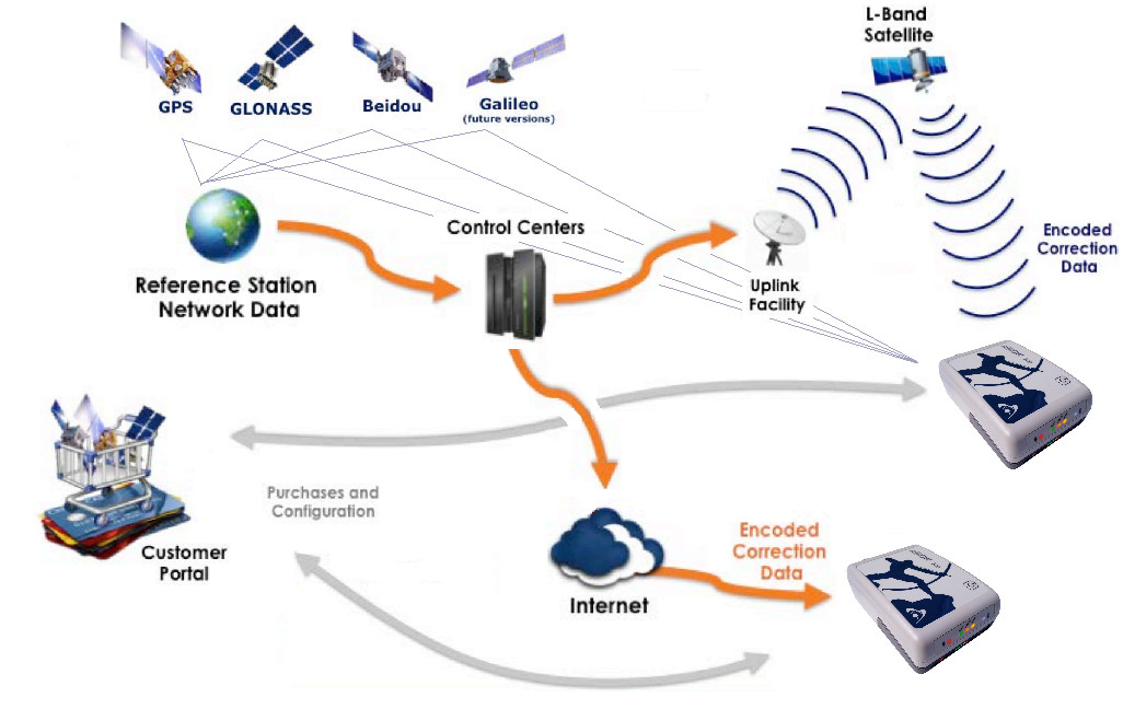
GNSS data are collected from numerous base stations spread all over the world. Data is then processed at various control centers, and corrections are uplinked to strategically located geostationary satellites. Each satellite then broadcasts corrections for its region over specific L-Band frequencies.
Eos GNSS receivers, when subscribed to an Atlas® service, receive both GNSS signals and the L-Band corrections on the same antenna and outputs a corrected position to your mobile device (typically running a data-collection app as well as Eos Tools Pro).
Recommended Resources
Atlas® Service: Get Higher Accuracy in Remote Areas
What is Atlas®? Paid Differential Correction Service in Remote Areas
Browse Customers Using Atlas® Service with Eos GNSS Receivers
Examples of real places where customers are using Atlas® subscriptions include the Appalachian mountain region of the United States, the Caribbean, South America (where the North American SBAS, i.e., WAAS, coverage stops), Australia (while waiting for the SouthPAN SBAS to become fully operational), and Africa (where there is currently no fully operational SBAS).
Customer Spotlight: Will Forker Represents Reality in Accurate 3D Models
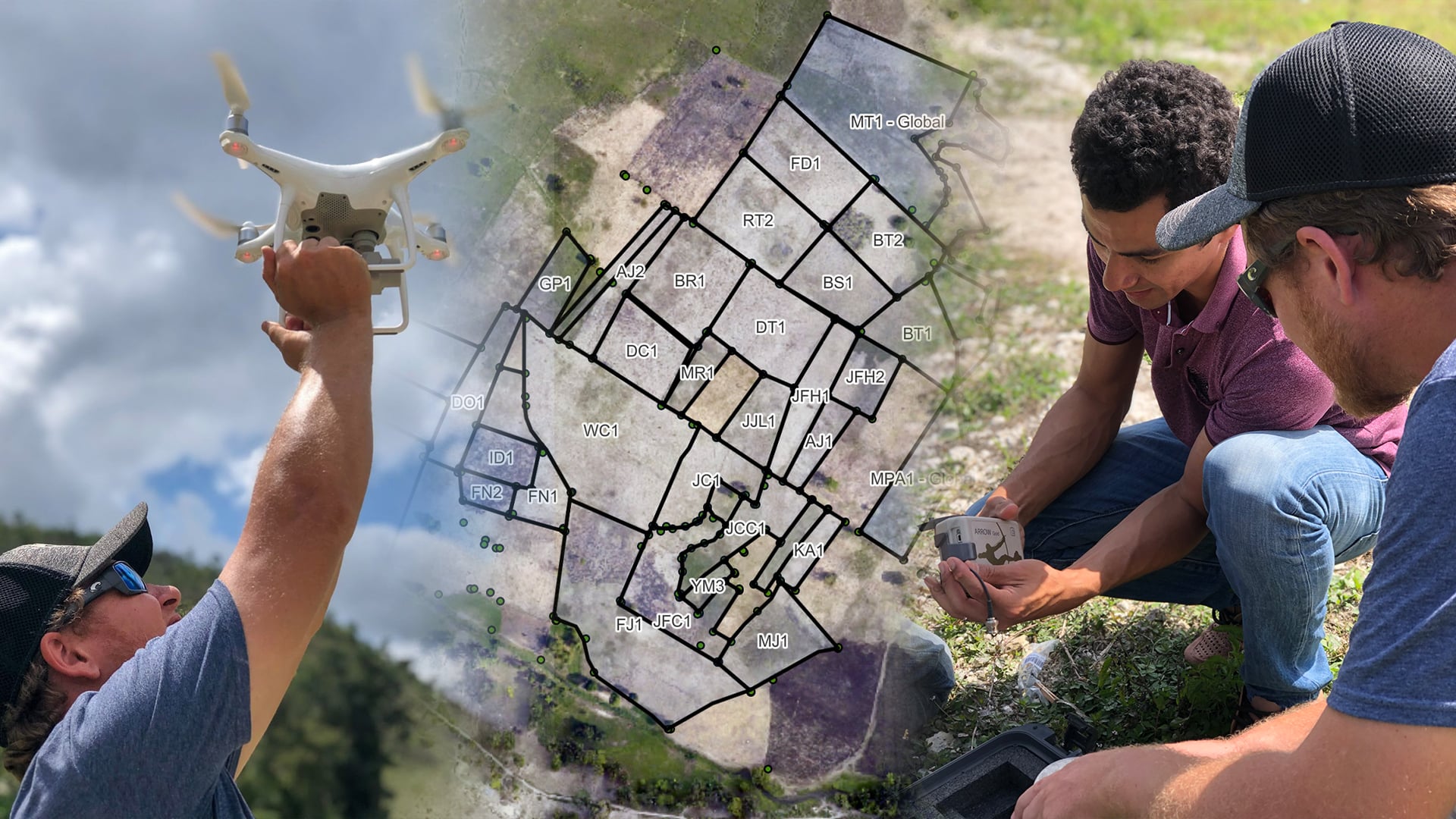
Using drones, high-accuracy Eos GNSS receivers, and ArcGIS, Will is creating geospatially referenced 3D models for his clients.
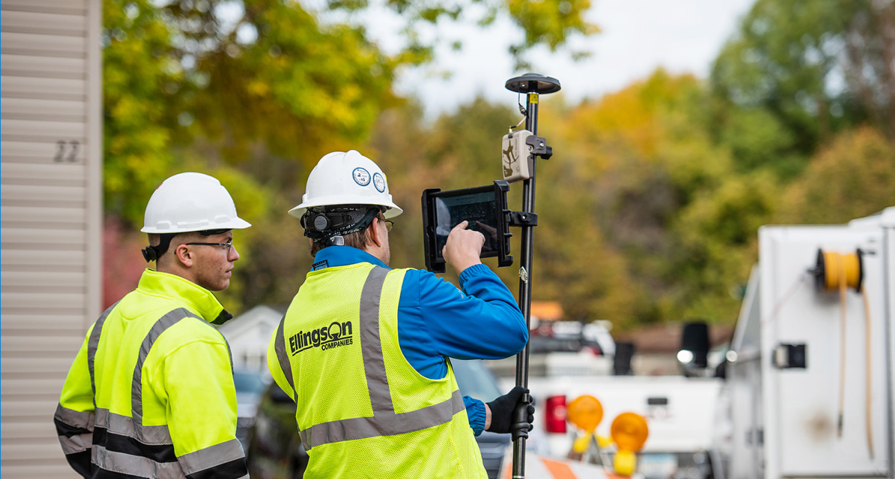
More InfoEfficiently Capturing High-Accuracy New Pipe Construction [A 2022 Esri UC Presentation]
Minnesota-based Ellingson Companies provides gas utilities with real-time as-builts that are captured with centimeter-level accuracy.
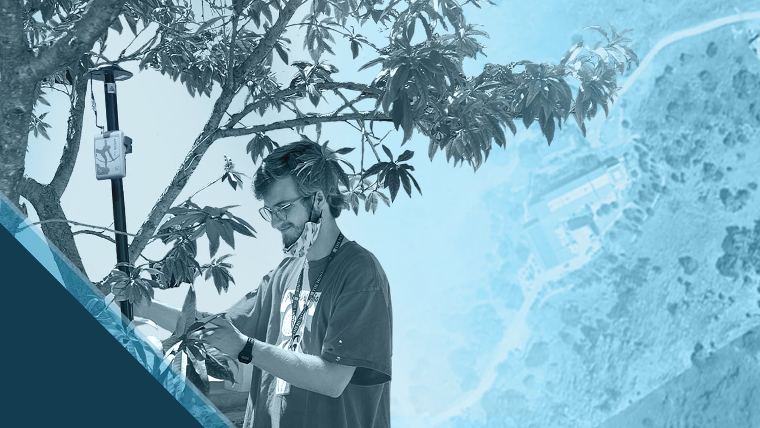
More InfoADF Haiti Strengthens Local Farming Initiative with High-Accuracy Mapping
By replacing physical boundary markers with highly accurate digital records, ADF Haiti enabled the deployment of modern machine technologies that improve farmers' yield while retaining trust.
More Info
