
Synopsis: Haiti Outreach Arrow GNSS Story
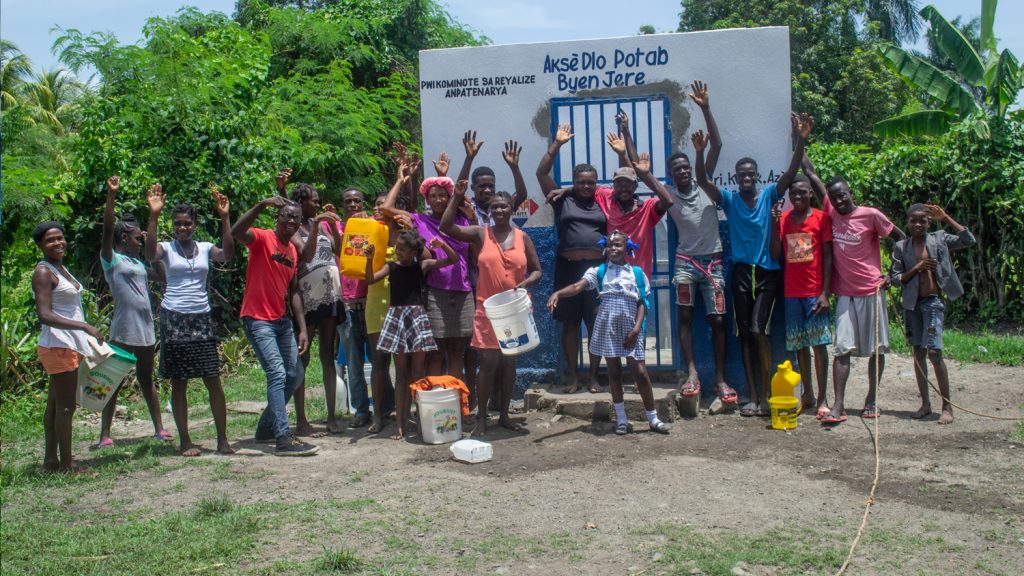
Haiti Outreach is on a mission is to bring clean drinking water to 100% of Haitian communes. They’re using Arrow Gold GNSS, mWater, EPANET, and community engagement to transform how water access is addressed. In this video, you’ll hear from Haiti Outreach Director Neil Van Dine and Eos Positioning Systems CTO Jean-Yves Lauture on the importance of combining spatial strategy with a human element.
Jean-Yves Lauture
I was born and raised in Port-au-Prince, Haiti.
Haiti is a beautiful country; we would just go horseback riding, hunting, fetching water at the spring and just dwell with nature. Back then there was no electricity, no running water. However, living in a developed country like Canada we take things for granted sometimes. I turn on my water faucet and I have water flow. In Haiti sometimes you have to walk miles to get water. Kids carry a bucket on their head and walk long distances just to fetch water for their families and then they have to boil it to make it potable.
[Music]
Water, which is the first substance that every single human being needs after air is readily available here and sometimes wasted but really scarce in that poor country. We need to solve this problem. How can we change make this happen? A nonprofit organization approached us and their mission is to bring water to the villages.
Neil Van Dine
We said, well we need to have a plan, how would we know? How much work is there to do? We need to
know where all the houses are and we need to know where all the water is. We have mapped every water point across a third of the country.
When I saw that, I said someone is doing something. I didn’t know how much mapping was being done in Haiti to bring water. And that’s when we decided to participate in this project.
Neil Van Dine
We know how many water systems are in these towns but we don’t have any
Information. There are no plans, no studies, and there’s really no data whatsoever on these water systems to be able to make decisions. One of the tools that are out there is a model called EPANET. It’s a software that allows you to model the flow inside a water system if you know the pipe diameter and the elevations that it’s on. You then plug that information into a model and it will tell you whether the water will flow or whether it won’t. So to do that we needed to have a high-resolution GPS. Now, Arrow Gold could get us within a foot; it rapidly captures that information and combines it with this tool. But data is only good if it’s actionable and because there’s no framework for dealing with that common resource. Usually because common resources are in poor condition in this region. How does this community that’s served by that water network work together to maintain that whole thing? So we changed our methodology to start dealing with it as a management breakdown. It’s about changing the conversation in the community. So now it’s a lot more than just the WELL, it’s about having a bucket and the bucket needs to be clean and the bucket needs to have a lid. They need to wash their hands and everyone needs to have a latrine and so on and so forth. They start to move from a community trying to get a well to a community that’s more centered on having clean water.
Jean-Yves Lauture
And this is where we see that technology is not just for infrastructure but there’s a human dimension also where you bring something positive to people and make their lives better.
Neil Van Dine
It seems like a very small difference but it’s a very big difference in their world; they start to create a future that they can live in to. At the end of the day, it’s very very powerful.
Gallery


You May Also Like One of These Success Stories

Customer Spotlight: Josiah Thomas betters his community with GNSS
Customer Spotlight: Josiah Thomas uses Arrow Gold and ArcGIS Collector to mark farmland, through his nonprofit ADF Haiti, across the Haitian island.
Haiti Outreach Improves Potable Water Access with Atlas
Haiti Outreach involves locals in its water mission. They use mWater to prioritize work and Arrow Gold with Atlas to model distribution systems in EPANET.
