Success Type: Video Stories

  • Home
  • Archive for "Video Stories"

Mapping Dreams: Detroit Students Empower Their Futures with GNSS

GIS Pathways program teachers high school students in Detroit, Michigan about GIS, GNSS, and GPS all while earning college credits and skills for their futures

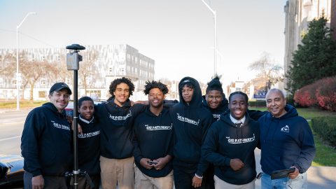
Discover how this pivotal program teaches public high schoolers how to use GIS, GNSS, drones, and related technology.

Customer Spotlight: Revisiting David Malm at the 2023 Esri UC

David Malm Video Feature Image3

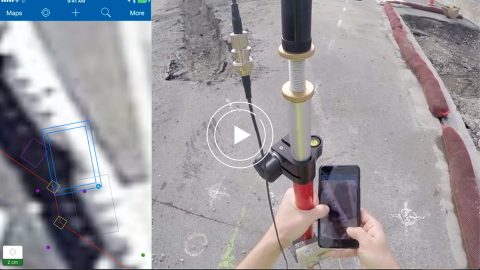
Hear how David Malm maps city infrastructure with high-accuracy GNSS in this exclusive video interview!

ESI increases wetlands mapping project profits by 20% using Arrow GNSS and Ecobot

ESI video case study feature image with Arrow 200 GNSS receiver, iOS, and Ecobot app for wetlands delineations mapping projects

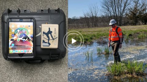
Environmental Solutions & Innovations switched to Ecobot app and Arrow GNSS to replace a slow and cumbersome legacy mobile mapping solution.

Improving Biodiversity with GNSS at Hawaii’s National Tropical Botanical Garden

Arrow handheld GPS at the Hawaii national botanical gardens

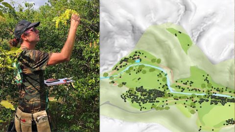
In Hawaii, NTBG’s staff have turned the gardens and preserves into safe havens for at-risk species. They use high accuracy to track plants.

Haiti Outreach Transforms Water Access with High-Accuracy Maps

Video Case Study - Haiti Outreach Feature Image Arrow Gold Atlas

Neil Van Dine and Jean-Yves Lauture explain how Haiti Outreach uses Arrow GNSS and spatial software to transform the Western Hemisphere’s poorest nation.

Eos and Esri Make Urban Forestry Easy

EPC Eos Montreal case study Esri Forestry urban forestry GPS mapping invasive species

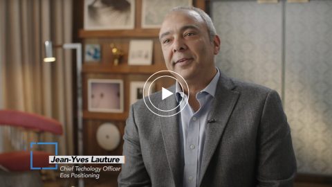
Eos and Esri go together in Montreal, where Arrow GNSS and Collector help fight an invasive species. Montreal is also special to Eos CTO Jean-Yves Lauture.

Ports of Auckland Demonstrates Arrow Gold with ArcGIS

Port of Auckland uses Eos Arrow Gold RTK receiver with Esri Collector to verify port construction is being performed according to designs, down to the cm.

Ports of Auckland uses Eos Arrow Gold RTK receiver with Esri Collector to verify port construction is being performed according to designs, down to the cm.

Video Case Study: Niagara Region and GPS Precision

Video Case Study: Niagara Region and GPS Precision with Arrow Gold and Collector for ArcGIS for Water Locates; shown here is their interview with GPS Precision of Canada

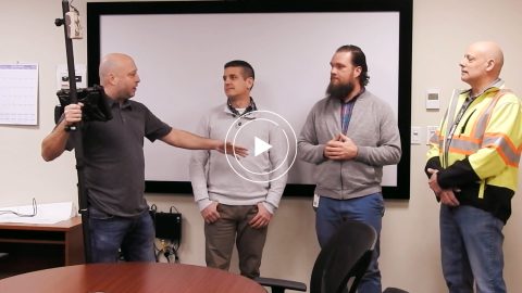
Niagara Region and GPS Precision get together to discuss how they put together an Arrow Gold RTK base station for pipe locates at Ontario water facilities.