
With nearly 24 years of experience in the consulting field, Nathan Ward transitioned to the water utility sector with a wealth of problem-solving knowledge. In his role as Director of Engineering at Cassatt Water, Nathan leverages his background to optimize water services for both colleagues and customers. His expertise is instrumental in ensuring the smooth delivery of water to over 24,000 residents across a sprawling 764-square-mile region of South Carolina.
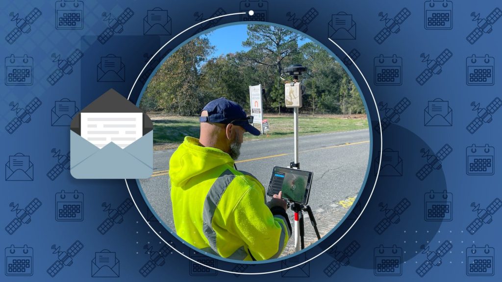
To effectively manage this system, Nathan focuses on fostering a collaborative environment geared toward enhanced efficiency in field operations. His commitment to knowledge-sharing is evident in the training he provides Cassatt Water’s employees, leveraging Eos Arrow Gold+® global navigation satellite systems (GNSS) receivers and Esri’s ArcGIS® Field Maps app. Under Nathan’s guidance, the utility established a mobile data collection workflow that allows employees to collaborate and share data to and from their geographic information system (GIS) in real time. Nathan’s efforts help ensure streamlined operations, timely responses, and effective utilization of resources to meet the demands of Cassatt Water’s vast infrastructure.
Discover how Nathan helped transform Cassatt Water’s approach to field data collection!
1. Why are you passionate about your job?
I love the water industry and am passionate about providing high-quality water to our customers. I previously worked for almost 24 years on the consulting side before coming to work for Cassatt Water about a year and a half ago. On the consulting side, I enjoyed helping my clients solve problems and improve their water systems, whether that was through accurately installing a new water main, well site, tank, or booster pump station. Now on the utility side, I enjoy working internally with my team to help solve our own system problems. Sometimes, those problems include figuring out where our assets are in the system.
2. How did you first find out about Eos Positioning Systems’ GNSS products?
Shortly after beginning work at Cassatt Water, I attended a local conference. While at the conference, I talked with a local Eos representative about their products. I took the brochures back to the office, where they sat on my desk for several months. It wasn’t until one morning, while listening to the team discussing their work, that I began to understand that our current GIS maps were not accurate. Coincidentally, about the same time, our Esri representative reached out to me. From there, I started digging into the GIS software that we had. Our original GIS map had been digitized from old map books that were not spatially accurate and were missing several projects. The field crews would sometimes spend hours locating valves to isolate a leak in the system. They were frustrated. After a few months, I realized purchasing an Eos GNSS receiver was the solution to start physically locating our assets in the field and begin updating our GIS maps.
3. What do you use Arrow Series® GNSS receivers for?
We use our Arrow Gold+ to update existing, inaccurately mapped assets and to locate new assets as they are installed in the system. We love the ease of use of the unit. I can download the Eos Tools Pro app onto a crew member’s phone and get them set up in minutes to begin collecting data in ArcGIS Field Maps with high accuracy.

4. Do you have a favorite experience or memory from your projects with Eos Arrow?
We love the ease of use of the unit. I can download the Eos Tools Pro app onto a crew member’s phone and get them set up in minutes to begin collecting data in ArcGIS Field Maps with high accuracy.
I have really enjoyed teaching the guys how to use the Arrow Gold+ to collect data in the field. They get excited and really enjoy seeing the instant progress. I also personally enjoy taking the unit myself out in the field and collecting data (when time allows!). We are currently having about 60,000 linear feet of 12-inch water main installed in our system and we take the unit out several times a week to collect data as the contractor installs the water main, valves, and appurtenances.

5. Do you have a favorite feature of Arrow GNSS receivers?
We really like the simplicity. Once the app is downloaded on an iPhone® or iPad®, it is easy to connect to Field Maps. The receiver is lightweight and easy to transport. We spend a lot of time in and out of our trucks locating assets, so that ease is important to us. The unit connects quickly via Bluetooth®. But overall, my favorite feature is the real-time kinematic (RTK) subscription that we got to go with the receiver. This allows us to get up to 0.2 inches of accuracy while collecting data.
Is there anything we didn’t ask you that you’d like to share with us?
The guys were skeptical at first to implement new technology, but once they started using the Arrow Gold+, they became fans real quick. They enjoy going out in the field, collecting the data, and seeing the maps updated in real time.
Explore Related Content
November 2023 Newsletter: Inaccuracies Vanish as Veterans Map Valves
Plus: Gideon Simons “conducts” confidence in rail mapping at Arcadis, how to make a new ArcGIS web map for use with GNSS.
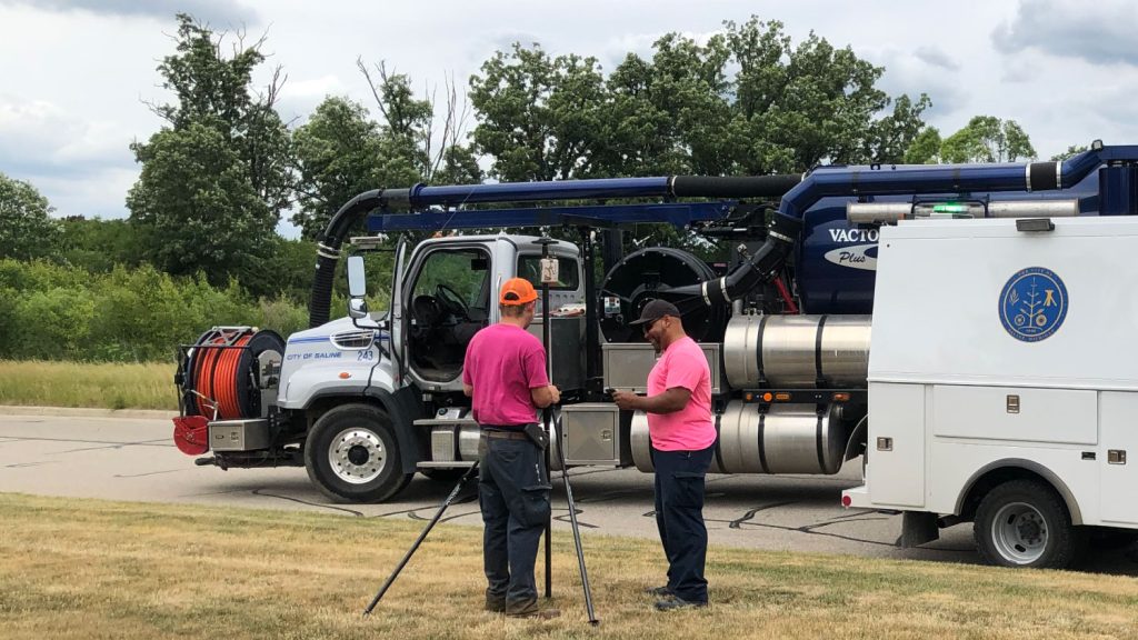
A Forward-Thinking Michigan Municipality Implements High-Accuracy Maps for Program Management
The City of Saline brought GIS in house, deployed high-accuracy GNSS receivers, and is working toward a streamlined longterm master plan.
