To meet increasing services demand, Seguin is mapping water, sewer, and electric assets with survey-grade accuracy. This helps avoid construction incidents during development and streamlines future asset management.
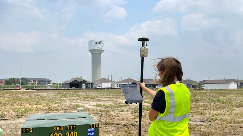
To meet increasing services demand, Seguin is mapping water, sewer, and electric assets with survey-grade accuracy. This helps avoid construction incidents during development and streamlines future asset management.

Vanessa Pocock uses high-accuracy GNSS and GIS to improve services for residents and visitors in the Resort Municipality of Whistler.
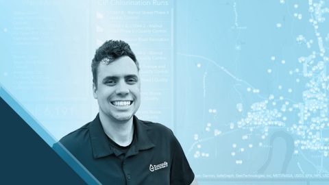
Aaron Krohn prepares his utility for the future by improving field accuracy and efficiency, in part thanks to GNSS.
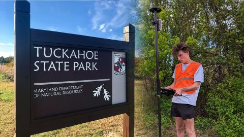
The GIS Program at Washington College created accurate digital maps to update those available for Tuckahoe State Park visitors. They used an Arrow Gold and ArcGIS Field Maps.

Ryan Key uses high-accuracy location data to enhance inspections, improve maintenance responses, and increase confidence in utility data.
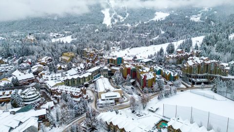
The Resort Municipality of Whistler equips departments with a high-accuracy mobile data collection workflow to support grant applications.

Dr. Kyle Emery leverages high-accuracy GNSS and drone imagery to deepen our understanding of coastal change.
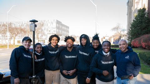
Discover how this pivotal program teaches public high schoolers how to use GIS, GNSS, drones, and related technology.

Discover how Nathan optimizes water services with an efficient mobile data collection workflow!
To enable more accurate predictions about sea level rise, Dr. Kyle Emery is piloting a drone, GNSS, GIS, and satellite imagery workflow.