Visit Eos Positioning Systems® (Eos) — an Esri Canada Silver Partner and ArcGIS Online Specialty Partner — at the 2018 Esri Canada UC in Toronto. This year’s event will be held at the Toronto Congress Centre, South Building.
Eos will be exhibiting at and sponsoring the event as a Platinum Sponsor. See how Canadian utilities, municipalities, universities, pipeline operators, and other organizations are taking advantage of Esri mobile workflows with high-accuracy GIS thanks to the growing popularity of Eos Arrow Series® GNSS receivers.


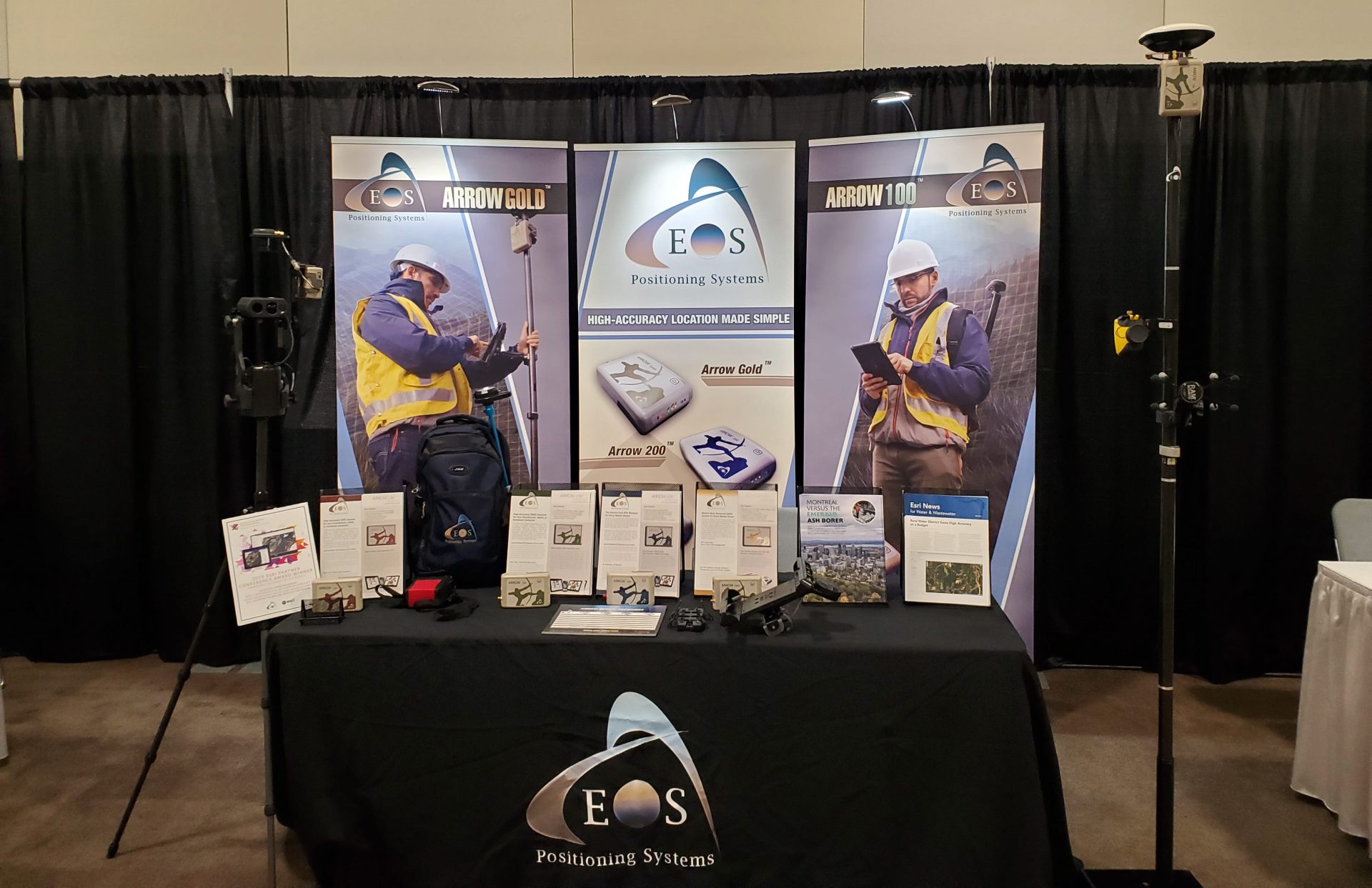
How to find Eos at the 2018 Esri Canada UC in Toronto
Eos will be exhibiting at the event from October 10-11. Look for the familiar Eos posters.

Location
Toronto Congress Centre, South Building
650, Dixon Road
Toronto ON M9W 1J1
Expo Days
Wednesday, October 10
Thursday, October 11
About the 2018 Esri Canada UC in Toronto
The 2018 Esri Canada UC in Toronto is a regional meeting of more than 900 ArcGIS users. Discover new insights on the ArcGIS Platform, including how The Science of Where applies to high-accuracy field data collection.
For more details about the event, click here.
About Eos Arrow and Esri Canada
Eos works with Esri Canada to provide affordable and intuitive high-accuracy field work solutions for organizations of all types, sizes and industries
See how Eos is partnering with Esri and Esri Canada to bring submeter and centimeter RTK field data collection to GIS users on any device — including iOS®, Android, and Windows / Windows Mobile. Visit the Eos booth to learn the best practices for pairing a high-accuracy GPS / GNSS receiver with any of your mobile devices, using ArcGIS Collector and Survey123.