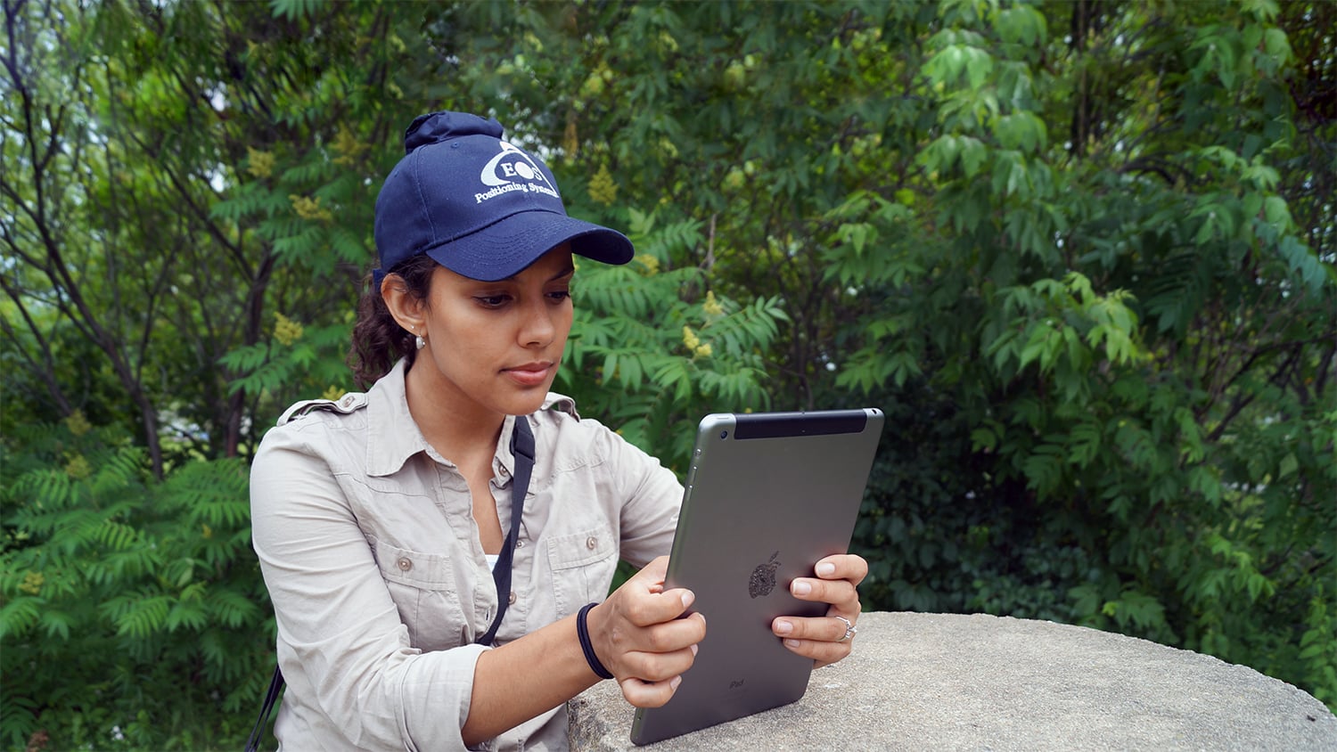
Find a workflow that works for you. Eos Positioning Systems partners with market-leading software developers and hardware manufacturers worldwide. This ensures all Eos GNSS receivers integrate with popular mapping apps, mobile devices, and related professional instruments and sensors. Browse partner apps and hardware we recommend below.
Explore Partner Apps
Partner App: ArcGIS Field Maps
ArcGIS Field Maps is Esri's newest data-collection app for mapping, tracking and managing mobile work. Field Maps supports all Eos GNSS receivers and advanced Eos solutions.
Partner App: ArcGIS QuickCapture
ArcGIS QuickCapture is Esri's big-button, data-collection app for high-speed data collection. QuickCapture supports Eos GNSS receivers on all mobile devices with 20 hertz positioning.
Partner App: ArcGIS Survey123
ArcGIS Survey123 is Esri's popular form-based mobile app for form-based data collection. Survey123 supports Eos GNSS receivers on all mobile devices and enables robust data capture.
Partner App: ArcGIS Collector
ArcGIS Collector is Esri's original and popular data-collection app for map-based mobile data collection. Collector supports all Eos GNSS receivers on all device platforms and advanced Eos solutions.
Partner App: Argis Lens
The Argis® Lens is an augmented reality (AR) data-visualization mobile app from Eos partner Argis Solutions. Visualize 3D data at any job site.
Partner App: AmigoCollect
AmigoCollect is a GIS app used for data collection made by AmigoCloud. AmigoCollect enables online and offline data capture and supports Eos GNSS receivers on iOS and Android.
Partner App: CartoPac Mobile
CartoPac Mobile is American Innovations' data-collection mobile app that is optimized for use by utility companies, municipalities, and related types of organizations.
Partner App: Ecobot
Ecobot is a software platform that enables swifter, more accurate environmental due diligence and permitting ahead of construction. It is made by Eos partner Ecobot.
Partner App: EQuIS Collect
EQuIS™ Collect is EarthSoft’s premier field data collection app that allows you to easily and electronically gather accurate, georeferenced environmental data.
Partner App: FieldPro
FieldPro is Futura Systems' modular mobile application used by rural electric co-operatives and municipalities to manage field operations. The FieldPro Stake module supports Eos GNSS receivers.
Partner App: FieldMap Pro
FieldMap Pro is a multi-industry mobile, GIS agnostic, mapping visualization application made by MapText, Inc.
Partner App: Global Mapper Mobile Pro
Global Mapper Mobile Pro is a powerful iOS and Android application created by Blue Marble Geographics.
Partner App: iCMTGIS Pro
iCMTGIS Pro is a standalone professional GPS data collection and mapping app made by CMT. iCMTGIS Pro was one of the first apps to support Eos GNSS receivers.
Partner App: Mapit GIS Professional
Mapit GIS Professional is an Android app made by U.K. company Mapit GIS Ltd. The app is available in multiple languages and used worldwide with Eos GNSS receivers.
Partner App: SPOT Traceability
SPOT Traceability is a pipeline-industry specific mobile application made by Eos partner SPOT, a portfolio company of Jones Capital.
Partner App: tMap
tMap is an easy-to-use standalone GIS field data collection tool made by Polish company TAXUS IT. Use it to create maps, collect data, and share results.
Partner App: vGIS AR
vGIS AR is a leading high-accuracy augmented reality (AR) and extended reality (XR) visualization platform developed by vGIS Inc.
Explore Partner Hardware
Laser Tech
LTI is an Eos partner and the industry leader in the design and manufacture of laser rangefinders that are compatible with Eos Laser Mapping™ for ArcGIS.
Utility Locators Compatible with Eos Locate™
Browse a complete and regularly updated list of all utility locator makes and models currently compatible with Eos Locate™ for ArcGIS®.
Do you need a different app or product?
This page represents some of the most popular apps and hardware used with Eos GNSS receivers, but it is not a comprehensive list. If you don’t see the app or hardware you’d like to use with an Eos GNSS receiver. just contact our team. We can tell you if the partner product you would like to use is already compatible with our GNSS receivers and what steps to take to make it compatible if not.
Our staff can also assist you with making your own product compatible with Eos GNSS receivers. Contact us to begin the conversation.