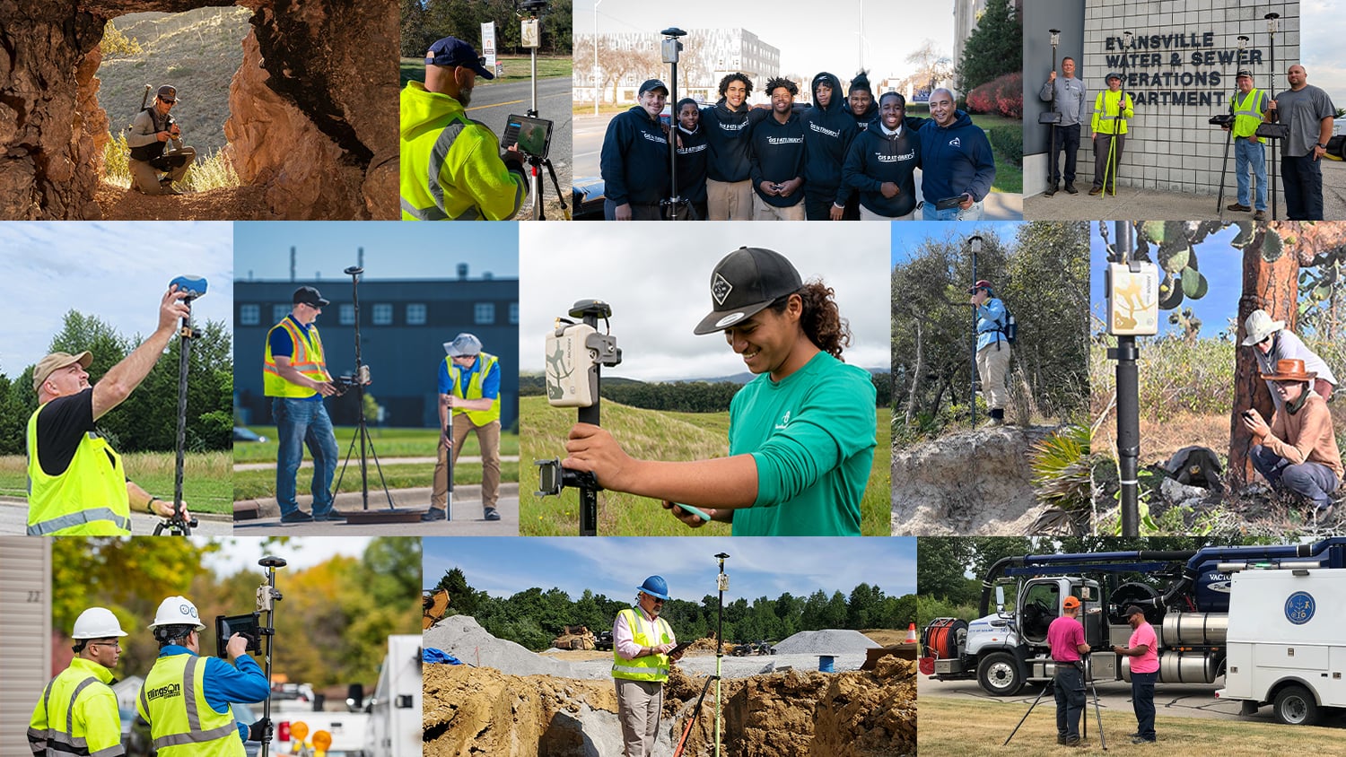
Hear what our customers have to say about our products — and our team — in their own words.
We purchased our units from 4D Global, and the support from Peter Terrett has be amazing. His knowledge of the product, its capabilities, and his capacity to supply additional units/ items at short notice is outstanding. We have been really impressed with the Arrow 100® units.
Patrick BurkePrincipal Geospatial (Lead), Everick Heritage Pty Ltd / Australia
A lot of times, especially now, we are getting a lot of clients that are asking us for our accuracy. They actually want to see that our accuracy is what we say it is. So with the Arrow GNSS receivers, we’re able to take a deeper dive into our GNSS and find out what our accuracy for these different points were.
Scott DenhamWetlands & Permitting Manager, Environmental Solutions & Innovations, Inc. / USA
We have our own in-house surveying department and recently just started utilizing the Eos Arrow receivers coupled with drones and high definition scanners and other technology to help bolster our survey and field data collection.
David GigliottiProject Manager, The DDS Companies / New York
We looked at all the equipment and software out there, and the Arrow 100® had the best ratings under trees. We determined that it was the best GNSS receiver available, with the best performance, that fit our budget.
Dann BlockLead Gardener, Woodland Park Zoo / Seattle, WA
For us, being a remote northern community where GPS satellites are a bit less visible, the fact that the Arrow 100® supports a constellation like GLONASS was a huge improvement.
Michael MorganWoodlands Operations Supervisor, Tolko Industries / Alberta, Canada
From the moment we first spoke with the Canadian staff from Eos, we received a personalized relationship. We understood from then on, that Eos would be our partner in terms of satellite positioning systems. Their Arrow GNSS solutions fully covered the needs we had, and they met our expectations.
Ronald Stith LópezTechnical Cadastral Coordinator, ConHydra / Peru
The thing I enjoy about the Arrow Gold® is that it’s very rugged, because I’m out in the field a lot. It’s easy to put together, easy to hook up, and easy to understand. And it works really well. I’m using the Arrow Gold® just like the surveyors would.
Michael AllisonOwner, Raptor Aerial Services / New Caney, TX
Well we have received the Arrow 200® unit. It is awesome! It’s the easiest to configure GPS receiver that I’ve used in my 20+ years of GPS data collection.
Elisabetta DeGironimoGIS Coordinator, Mohawk Valley Water Authority / Utica, New York
I think the reasons why the Arrow GNSS receivers were preferred by our inspectors over other hardware solutions were that the Arrow receivers were easy to configure, simple to deploy, lightweight, rugged and above all else, accurate.
Zachary PetixVice President of Geospatial Solutions, Palmetto Engineering & Consulting / South Carolina
I just bought an Arrow 100® and am very impressed with it’s accuracy right out of the box. The unit continues to operate flawlessly, giving me almost constant accuracy below 1 meter!
Al SchaefferPresident, Northern Forests, LLC / Maine
We’re getting our operations folks what they need in seven to ten days to have confidence in what we’re doing in GIS.
Randy WinstonGIS Project Manager, Indiana American Water / Indiana
The Esri software is totally in tune with the hardware, for extra accuracy.
Andy HopkinsGIS and Positioning Technical Consultant, Northumbrian Water / England
For the first time since the winter, our technicians used the tool that had been installed (iPad® + GNSS). They were charmed and the tool did everything we expected. They saved a lot of research time. I wanted to thank you as you have made a great contribution to the success of this tool.
Line RenaudOfficer, Management of Technical Documentation, Quebec International Airport / Quebec, Canada
Because the cost and effort involved was fairly minimal, it just made a lot more sense to go ahead and set up our own base station. We also thought there could be other groups in the city that would use this system.
Theresa LancyWater Distribution Supervisor, City of Santa Barbara / California
Compared to the collection equipment cost in 2013, the Arrow Gold® comes in around half of that. The best part is – there is no accuracy loss.
Kenny RatliffGIS Manager, Oldham County Water District / La Grange, Kentucky
With the Arrow 100®, I can normally say that a property marker is here within a foot. It’s incredibly accurate. With the Arrow 200® / Arrow Gold® and RTK network, I get two centimeters or closer than that.
Håkan BergstedtCo-Founder, MittNorr Skog & Fasteight AB / Östersund, Sweden
And now I felt like we finally had the last piece to our puzzle. The days of waiting 30 seconds to get a point were over. Points now come as fast as you can tap the buttons.
Travis AndersonDistrict Engineer, Le-Ax Water District / Athens, Ohio
Thank you so much for the exceptional support you have provided during our work with the Eos Arrow 100®. My interactions with every one of your folks was pleasant and helpful.
Daniel PankaniProject Engineer, Geosyntec Consultants / Portland, Oregon
I love the Arrow Gold® receiver’s combined versatility, accuracy, and ease of use. It is super easy to train new staff on how to use this device and it is very easy to implement and deploy.
Michael Cousins, GISPGIS Practice Leader, OHM Advisors / Michigan
I’ve worked with Eos support a few times on troubleshooting issues and they’ve always been extremely helpful. The response time to requests, and the time to finding a resolution has consistently blown me away. I think all companies could take a leaf from your book!
Erica TefftWatershed GIS Coordinator, Department of Conservation & Recreation / Massachusetts
The Arrow Gold® receiver was very easy to hold, very lightweight. I was impressed with how far the technology has come. The whole thing can be carried on a belt.
Kurt TowlerGIS Supervisor, SSVEC / Wilcox, Arizona
Installing each meter used to cost us approximately $211.91 in labor and fuel. With high-accuracy mobile GIS, the cost per meter went down to $111.19.
Kenny RatliffGIS Manager, Oldham County Water District / La Grange, Kentucky
Jared TaylorGIS Analyst, Texian Geospatial / San Marcos, Texas
The thing I enjoy about the Arrow Gold® is that it’s very rugged, because I’m out in the field a lot. It’s easy to put together, easy to hook up, and easy to understand. And it works really well. I’m using the Arrow Gold® just like the surveyors would.
Michael AllisonOwner, Raptor Aerial Services / New Caney, Texas
The Arrow connected to Collector is truly revolutionizing GIS for our customers. So good to see Esri and Eos working together to pair these two technologies to streamline and improve field data collection.
Rusty MerrittGIS Department Manager, Anderson Perry & Associates Inc. / Bend, Oregon
Currently, we use the Arrow Gold® GNSS receivers for the fast and precise location of all hydraulic and non-hydraulic elements of the aqueduct networks in cities where we have projects.
Ronald Stith LópezTechnical Cadastral Coordinator, ConHydra / Peru
Two years ago, we went with the Arrow 100®, and it’s much more accurate than the Garmin. Now, we are sure we will get back to the same tree — at the same exact spot.
Daniel PiloteForestry Technician, City of Montreal / Montreal, Quebec, Canada
The level of accuracy—knowing you’re within a meter of the point you recorded before—gives you a higher degree of confidence. Five meters would skew our results quite seriously. The accuracy eliminates a level of uncertainty in our monitoring.
Dr. Patrick CrushellDirector, Wetland Surveys Ireland / Ireland
The Arrow 100® is a small GPS unit with a small antenna, it was easy to move in the field, and it got me the results I needed. I chose it because of the advanced technical data it provides and its price.
Christer AnderssonOwner, Åsklosterprojektet / Åskloster, Sweden
I spoke with one for your techs on the phone, and he fixed me up in record time. Merci beaucoup, good service!
Captain Mike ArmstrongChairman, Fraser River Pilots / Vancouver, Canada
It’s the affordable price of the Arrow 100® that has made it more possible for my small company to expand, grow, and offer more services. That price point allowed me to work with clients like mine.
Al SchaefferPresident, Northern Forests, LLC / Maine
Having a backpack & Bluetooth® GNSS receiver that can just tap into your device is really important. And being an ethical company we just wanted to get that submeter accuracy.
Andy HopkinsGIS and Positioning Technical Consultant, Northumbrian Water / Durham, England
Most of the time they got into the 2-centimeter range. That’s nearly perfect for us. Without this RTK network, you couldn’t really guarantee better than twelve feet. Many assets moved 50-100 feet. That’s a big difference, when you look at a road and want to know on which side of the road the pole is located.
Kurt TowlerGIS Supervisor, Sulphur Springs Valley Electric Co-operative / Wilcox, Arizona
The hardware savings are enormous with the new GPS kit at less than $10,000, compared to the old kit, which was over $70,000. But the ongoing reduction of labor costs is even more valuable over time.
Lance FugateProgram Manager, Enmapp / Calgary, Canada
The Arrow 100® shows me time after time how extremely accurate the measurements were that they [the original boundary markers] have made.
Håkan BergstedtCo-Founder, MittNorr Skog & Fasteight AB / Östersund, Sweden
Now it feels like we’re working smarter. The data-capture process is much more efficient, faster and accurate. If we can accurately locate and record the position of our assets, then we are able to deal with any problems quickly and efficiently.
Andy HopkinsGIS and Positioning Technical Consultant, Northumbrian Water / England
Without this metadata, it was impossible to tell which locations were right or wrong. Many of our facilities were not in the right spots, so you didn’t know what data to trust.
Kurt TowlerGIS Supervisor, Sulphur Springs Valley Electric Co-operative / Wilcox, Arizona
I’ve been running a small forestry business for 3 years, in the deep forests of mid Sweden. I’m really interested in technical solutions that really work. I spent an awful lot of hours about one year ago to find the best equipment for our work with boundaries. I am REALLY satisfied with the [Arrow 100®], so I decided to purchase—it has exceeded my expectations!
Håkan BergstedtCo-Founder, MittNorr Skog & Fasteight AB / Östersund, Sweden
Now everyone can see where the assets are located, accurately, thanks to ArcGIS Online and the Arrow Gold®. This frees up our water system experts to do their own work, because they no longer have to answer calls to help people locate assets. Everyone has access to the same information.
Benjamin RucksGIS Crew Lead, Rockett Special Utility District / Texas
I tested an Eos receiver myself and paired it with an Apple iPad® and ArcGIS Collector and was impressed with how well this suited our needs.
David GigliottiProject Manager, The DDS Companies / New York
Two of the other receivers we tested could not withstand the harsh Alberta climate. Now we’ve got 22 Arrow Gold® receivers out there, and they’ve been working flawlessly.
Mathew DesbiensGIS Manager, Apex Utilities / Alberta, Canada
The Eos technical support we required for interfacing with Collector was outstanding.
Mathew DesbiensGIS Manager, Apex Utilities / Alberta, Canada
Paired with an Arrow Gold®, both units communicate to the phone or tablet and utilizing Eos Locate™, we’re able to capture a precise three points of the assets below ground within ArcGIS, and this can be easily exported out to AutoCAD Civil 3D as a 3D network. It’s a game-changer solution.
Michael Cousins, GISPGIS Practice Leader, OHM Advisors / Michigan
The Arrow 100® gains access to far more satellites by supporting all four constellations, which means higher accuracy and reduced downtime.
Michael MorganWoodlands Operations Supervisor, Tolko Industries / Alberta, Canada
I use the Arrow Gold® and the Arrow 200® units to map streams, wetlands, invasive plant species, potential bat–roost trees and more.
Scott DenhamWetlands & Permitting Manager, Environmental Solutions & Innovations, Inc. / USA
If our RTK connection is lost, the Arrow Gold® maintains our RTK corrections thanks to the SafeRTK® feature.
Ronald Stith LópezTechnical Cadastral Coordinator, ConHydra / Peru
I think it’s great that the Arrow 100® achieves such great accuracy results in the forest or under other difficult conditions.
Theresa MaierMobile GIS & GNSS Consultant , GI GeoInformatik / Germany
Every pixel within the drone image has its own XYZ value, based on the Arrow telling the software exactly where the GCPs are. This lets us get highly accurate positions and, importantly, elevation data.
Kyle EmeryAssistant Researcher, The Marine Science Institute, University of California-Santa Barbara / CA, United States