Our success starts and ends with our customers. Each month, Eos feature new stories and customer spotlights to highlight how professionals around the world are taking advantage of submeter and centimeter locations in their mobile mapping workflows. Browse case studies, videos, customer spotlights and more to gain ideas on how external GNSS receivers can help transform work at your organization.
Filter items by the following categories
After a trial of two Arrow 100s, CountryMark now relies on a fleet of 16 Eos GNSS receivers across teams. This upgrade helps map pipelines more efficiently, while also meeting federal accuracy requirements.
Felecia Helms is improving infrastructure response times by integrating high-accuracy GNSS locations into a new outage management system.
Habitat Restoration using GNSS, GalHAS and Laser Rangefinders in Great Smoky Mountains National Park
Three AmeriCorps GIS interns overcame the challenges of dense canopy using an Arrow Gold+ GNSS receiver, Galileo HAS corrections, and an LTI laser rangefinder. Their work will help field staff clear trees to re-establish the historic bald boundaries.
David Wiggins preserves pipeline infrastructure by identifying and mitigating corrosion with high-accuracy GNSS and GIS technologies.
One Costa Rica electric utility transformed their distribution with ArcGIS and Eos GNSS. The cooperative's 90,000+ members now benefit from precise asset management and modernized workflows.
Garrett Black enhances efficiency and safety at a Kentucky utility with high-accuracy GNSS technology, including Skadi Tilt Compensation.
EWSU is streamlining inspections and minimizing delays by updating asset locations in real time while using Eos GNSS receivers and the ArcGIS Utility Network.
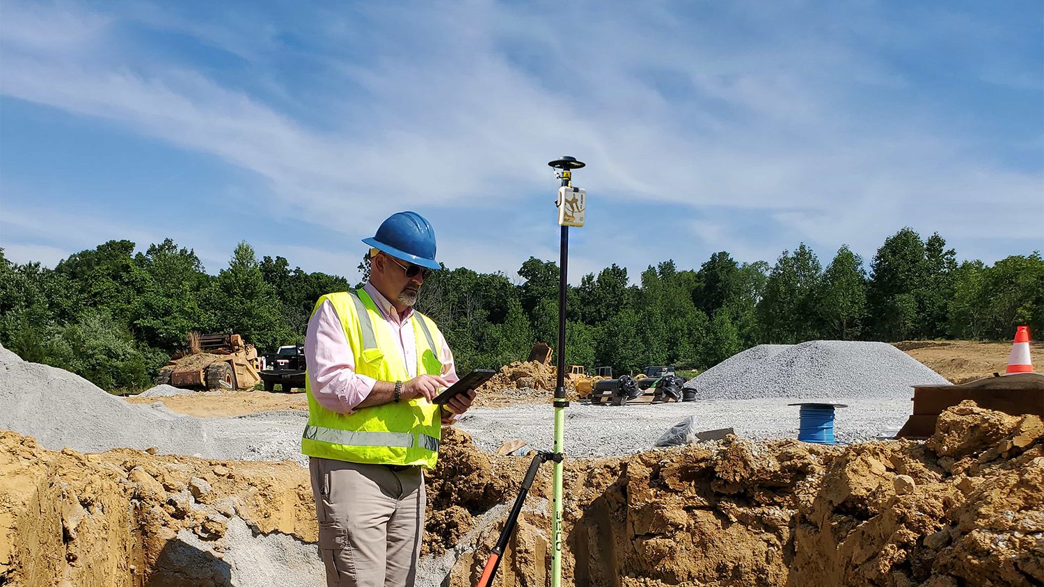
Cody Phillips modernizes century-old utility systems and streamlines future maintenance with high-accuracy Eos GNSS receivers and ArcGIS Field Maps.
Mustang Special Utility District improves water and wastewater management using Eos Arrow GNSS receivers and ArcGIS Apps for greater accuracy and efficiency.
To meet increasing services demand, Seguin is mapping water, sewer, and electric assets with survey-grade accuracy. This helps avoid construction incidents during development and streamlines future asset management.
Vanessa Pocock uses high-accuracy GNSS and GIS to improve services for residents and visitors in the Resort Municipality of Whistler.
Thomas Shifflett uses high-accuracy GNSS to help locate hidden cave entrances in the dense jungles of Oaxaca, Mexico.