


Visit Eos Positioning Systems® (Eos) — a 2019 Esri Award-Winning Silver Partner and ArcGIS Online Specialty Partner — at the Ozri 2019 in Melbourne (Australian Esri User Conference). This year’s event will be held at the Melbourne Convention and Exhibition Center. Eos will be exhibiting as a Platinum Sponsor on November 12 with 4D Global.
Eos is a Canadian company and Esri Silver Business Partner that specializes in simple, affordable, high-accuracy field solutions (GPS / GNSS) for the GIS and mapping community. Eos Arrow Series Bluetooth® GPS (GNSS) receivers fit directly into existing mobile GIS workflows and data-collection apps (e.g., Collector, Survey123, and even your own proprietary application!). Our solutions simply replace lower accuracy native device locations with higher-accuracy (submeter/cm) GNSS locations and metadata. The Arrow Series® GNSS (external Bluetooth® GPS) receivers work with any mobile device and field data-collection app.
Scroll down to learn how to find the Eos team. Ask for a demonstration of submeter and centimeter data-collection with Esri ArcGIS mobile apps!
Find Eos at Ozri 2019 in Melbourne!
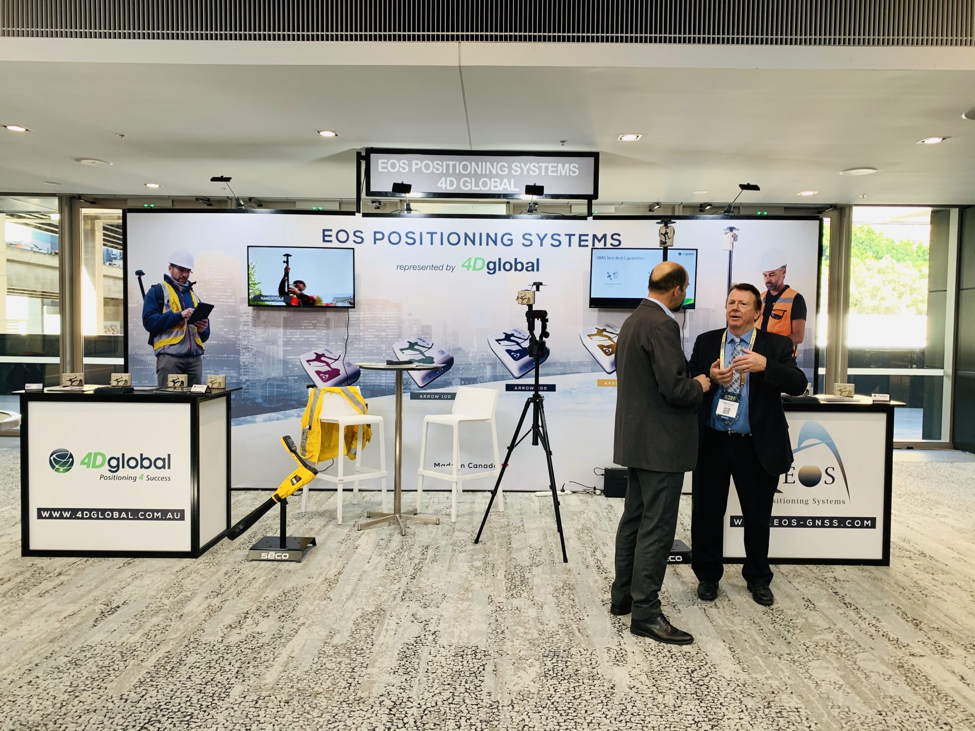
The Eos team will be exhibiting in the expo hall at Ozri 2019 in Melbourne. Look for us on the floor plan below at Booth/Stand #12:
Find Booth #12 beside the Esri stand!

Look for the Eos branded stand!

Location
Melbourne Convention and Exhibition Center
1 Convention Centre Pl
South Wharf VIC 3006, Australia
Eos Booth
#12
Expo Dates and Times
Nov. 12 – 8am-6:30pm
Social Media
Session we recommend:
“Accurate field-to-office data sharing with ArcGIS apps and submeter GNSS receivers”
Pierre Kurth, HEMA Maps / Emprise Group
Peter Terrett, 4D Global
Jean-Yves Lauture, Eos Positioning Systems
Sarah Alban, Eos Positioning Systems
Date/Time: 3:50pm on November 12
Track: Integrate
Event Website
Featured Testimonial: Hema Maps

Arrow GNSS receivers provide ArcGIS QuickCapture users with submeter/centimeter locations at high rate, enabling high-accuracy data collection from moving vehicles.