
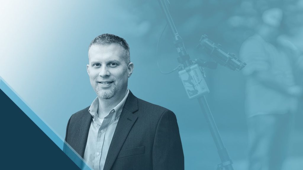
When veteran GIS project manager David Malm visited the Eos Positioning Systems booth at the 2023 Esri User Conference (UC), we had to catch up with him! Previously, we’d featured some of David’s work in a written customer spotlight. This time, we asked David to catch up with us in person and tell us a little bit more about why he loves solving problems with GIS. Watch the video interview or scroll for the transcript …
Transcript
Hi, I’m David Malm. I am a GIS project manager with Bolton & Menk, and we are primarily located in Minnesota. My office is in Burnsville, Minnesota.
Why are you passionate about your job?
I’ve always loved GIS. You know, even before I knew what GIS was, I loved maps. And I always wanted to know why things were the way they were, why maps looked the way they were, what influenced them. So being able to use maps to help people solve problems and make better decisions, you know, really drives me in my every day.
What do you use Arrow Series® GNSS receivers for?
We typically map city infrastructure. So for the most part, it’s underground utilities and the above ground components of them. But we also leverage the receivers from a construction/inspection standpoint. When utilities are being installed, we’ll go out and use the Arrows when we capture locations of, you know, pipes, structures, fittings — all of the things as they’re going in the ground.
Do you have a favorite feature of Eos Positioning Systems products?
The Eos Tools Pro app is really the game changer in terms of its simplicity of use, and in the way that you can customize it. That’s really what provides that easy integration between, you know, ArcGIS Field Maps and the hardware itself. And the fact that it’s so easy to use and reliable is really what makes everything click.
The Arrows are by far the easiest to train on; they’re so easy to use. They’re very simple. It takes a very short amount of time to get people up and running.
Do you have a favorite experience or memory from your projects with Eos Arrow?
One of my favorite things about utilizing the Arrows is going out and training folks who have not used them before. That would be anyone from, you know, engineers to archaeologists, natural resource specialists, construction inspection — pretty much anyone that would benefit from being able to locate things in the field. We work with them and make sure that they’re trained, and they have all the equipment in there.
The Arrows are by far the easiest to train on; they’re so easy to use. They’re very simple. It takes a very short amount of time to get people up and running.
And we have very few issues in terms of having problems with their collections in the field.
Being able to really quickly show them what it can do, how they can leverage it, and really have a light bulb go off in their head — and then they start to think about other ways that they can leverage this. They come up with new ideas, and we find new processes that can help them that no one else has thought of before.
You know, those interactions are really what drives me and what makes me so passionate about GIS and about this product.
Explore Related Content
Customer Spotlight: David Malm Empowers Clients with Accuracy at Bolton & Menk
David provides community infrastructure solutions to municipalities using high-accuracy GNSS and GIS technologies.
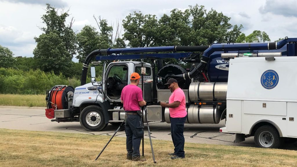
A Forward-Thinking Michigan Municipality Implements High-Accuracy Maps for Program Management
The City of Saline brought GIS in house, deployed high-accuracy GNSS receivers, and is working toward a streamlined longterm master plan.
