


Visit Eos Positioning Systems® (Eos) — a 2019 Esri Canada Award-Winning Silver Partner and ArcGIS Online Specialty Partner — at the 2019 Esri Canada UC in Ottawa. This year’s event will be held at the Shaw Centre. Eos will be exhibiting as a Platinum Sponsor on October 16.
Eos is a Canadian company and Esri Silver Business Partner that specializes in simple, affordable, high-accuracy field solutions (GPS / GNSS) for the GIS and mapping community. Eos Arrow Series Bluetooth® GPS (GNSS) receivers fit directly into existing mobile GIS workflows on the Esri ArcGIS Platform via ArcGIS and other data-collection apps (e.g., Collector, Survey123). Our solutions simply replace lower accuracy native device locations with higher-accuracy (submeter/cm) GNSS locations and metadata. The Arrow Series® GNSS (external Bluetooth® GPS) receivers work with any mobile device and field data-collection app.
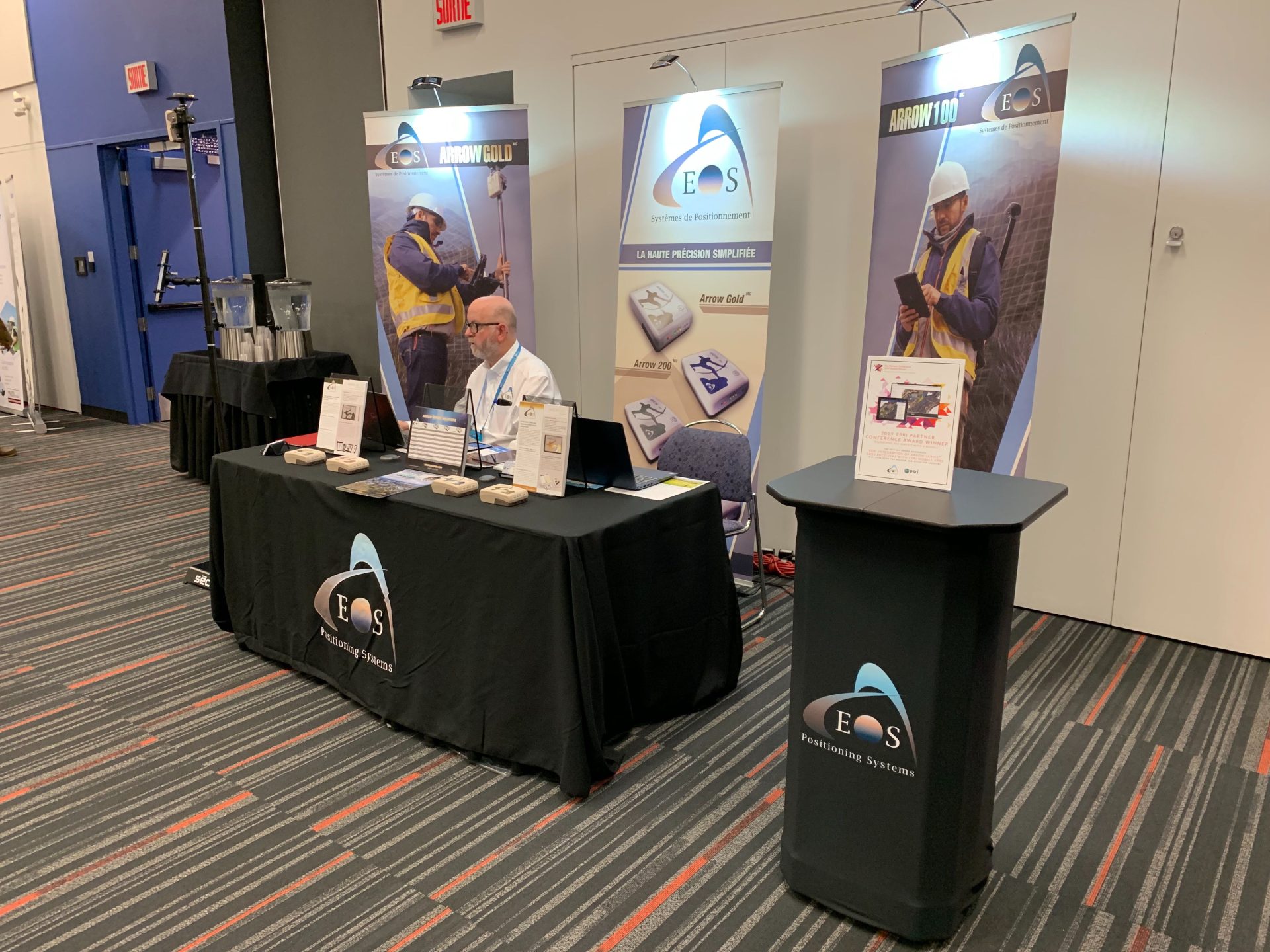
Scroll down to preview our booth so it is easy to locate. Stop by and ask for a data-collection demonstration!
How to find Eos at the 2019 Esri Canada UC in Ottawa
Eos is proud to be exhibiting as a Platinum Sponsor. Look for our familiar Arrow GNSS setup showing these three banner panels to find our booth!

Location
Shaw Center
55 Colonel By Dr
Ottawa ON K1N 9J2
Expo Dates and Times
October 16 from 7:30am-5pm
Social Media
Website
https://esri.ca/en/events/user-conferences/esri-canada-user-conference-ottawa-2019
Featured Case Study: Niagara Region Keeps Infrastructure Safe with Centimeter Accuracy from RTK Base Station

Niagara Region deployed a real-time GNSS data collection system using their own RTK base station. They were then able to implement a real-time GIS workflow that improved their ability to keep infrastructure safe through locates.
Featured Case Study: Montreal Preserves its Iconic Landscape by Increasing Treatment 6300% per Year with Eos Arrow 100 and Esri Collector

Modern Workflow with Increased Workforce Helps Montreal Fight the Emerald Ash Borer.