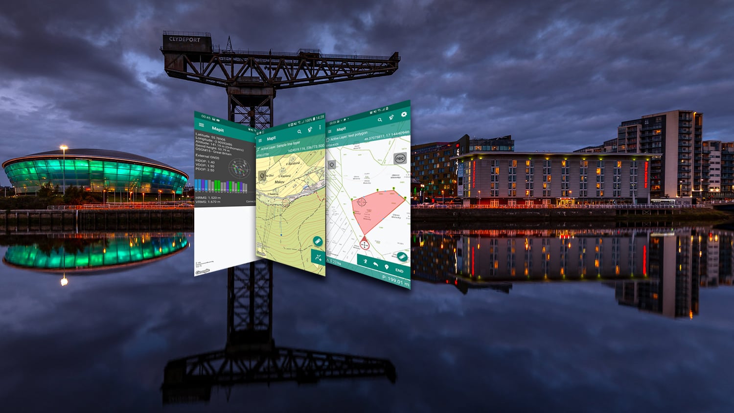
Mapit GIS Professional is a GIS data collection app made by Eos partner and U.K. company Mapit GIS Ltd. Mapit GIS Professional is a powerful mobile app that can be used for spatial surveying, data collection and data management on Android devices. The Mapit GIS Professional app is a professional, stand-alone, cost-effective mapping and surveying tool. It is designed to enhance field productivity, supports common file formats for input and output, and is fully compatible with Eos GNSS receivers to provide centimeter-level accuracy. This combination of powerful, spatial data capture and high accuracy lets you design your own survey forms, organize data layers, use GPS tracking, and record GNSS metadata. The Mapit GIS Professional app is widely used worldwide, often adopted for uses such as agriculture, forestry, road construction, geology, land surveying, and solar panel solutions. Personalized settings and flexibility make this app fit for your work purposes. The Mapit GIS Professional app can be used with Eos GNSS receivers on Android.
Collect Assets Spatially
Mapit GIS Professional is a spatially smart and location-based data collection app.
Use GPS Tracking
With GPS tracking (which requires their Mapit Pro extension), you can easily capture highly accurate line and polygon features. Just press the button, and a background service will start and new points will be automatically added to your feature as you move forward.
Monitor GNSS Metadata
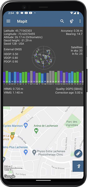
The app has a “ScreenGPS Status” information window that lets you monitor GNSS and RTK performance in real time.

Easily Connect to Eos
Mapit GIS Professional offers a number of ways to connect to Eos GNSS receivers, including directly via Bluetooth®, as well as reading Eos Tools Pro using Mock Location or TCP on Android.
Perform GPS Surveys
Mapit GIS Professional supports Eos GNSS receiver locations and metadata so you can get centimeter-level accuracy in real-time.
Export GPS Metadata
Mapit GIS Professional allows you to export GNSS metadata such as HDOP, VDOP, PDOP, HRMS, and VRMS with point layers.
What We Like about this Partner App: Mapit GIS Professional
Supports Many Languages
Mapit GIS Professional is available in many languages including English, German, French, Spanish, Polish, Czech, Dutch, and Chinese.
Supports All Accuracy Levels
You can use Mapit GIS Professional with any Eos GNSS model for either submeter, subfoot, or centimeter-level accuracy.
Standalone App
Mapit GIS Professional can be purchased once and requires no subscription fees.
Precise GIS Surveying
Mapit GIS Professional is optimized for GPS information such as HDOP, VDOP, PDOP, VRMS, HRMS, Correction Station ID, Correction Age, and more. GNSS metadata can be included with POINT layers and this can be enabled in “Survey Settings.” In addition, users can monitor current GNSS performance, as well as information specific (e.g., RTK-corrected coordinates) to external GNSS receivers like those from Eos Positioning Systems®. In theory Mapit GIS Professional can be connected to any Bluetooth® or TCP-enabled device streaming the data using NMEA standard, and for years this has been already proven with the Eos GNSS receivers. If the device is capable of streaming RTK corrected coordinates you will get centimeter accuracy and all GNSS metadata statistics displayed and recorded by Mapit GIS Professional.
On top of the standard (direct) connections via Bluetooth, Mapit can receive location data from Eos GNSS receivers via Eos Tools Pro’s TCP server or on Mock Location. These can be the source of the GNSS location for your Android device. Mapit GIS Professional is able to use an innate dedicated NTRIP client which uses the RTKLIB engine to provide RTK corrected solutions. To connect to an external Eos GNSS receiver, all you must do is go to Mapit GIS Professional’s “Settings”, navigate to “External GNSS” and switch it on.


