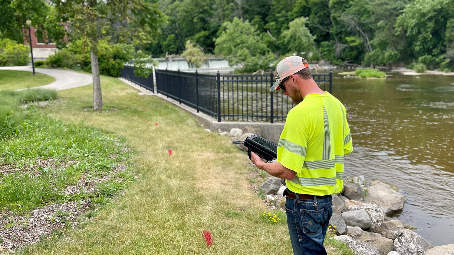
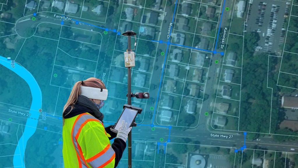
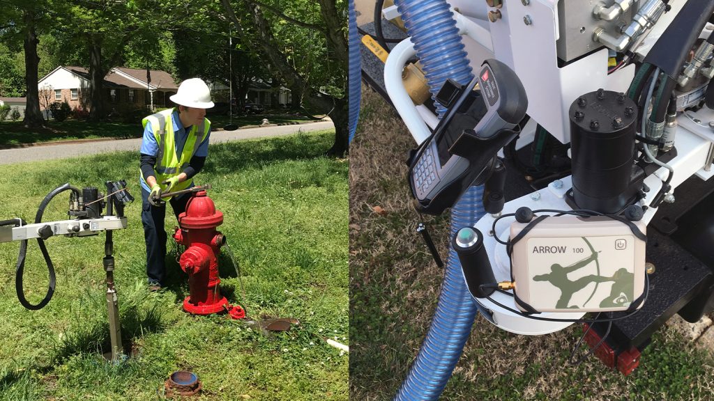
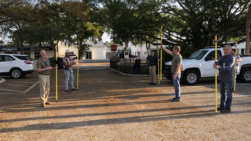
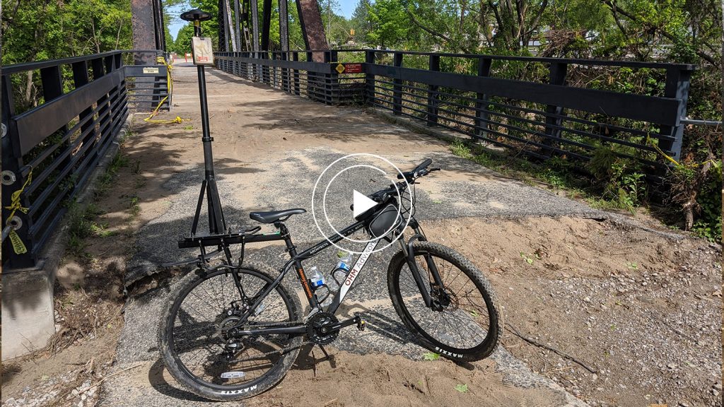
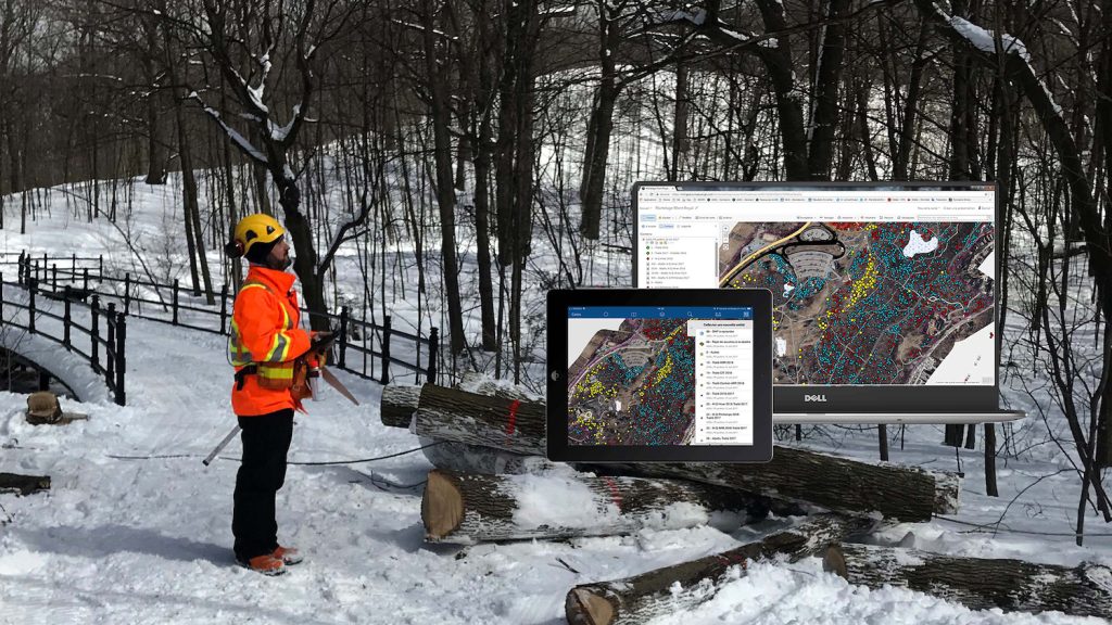
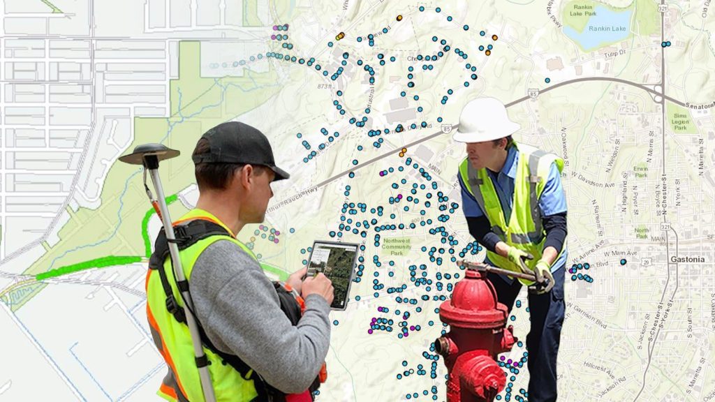
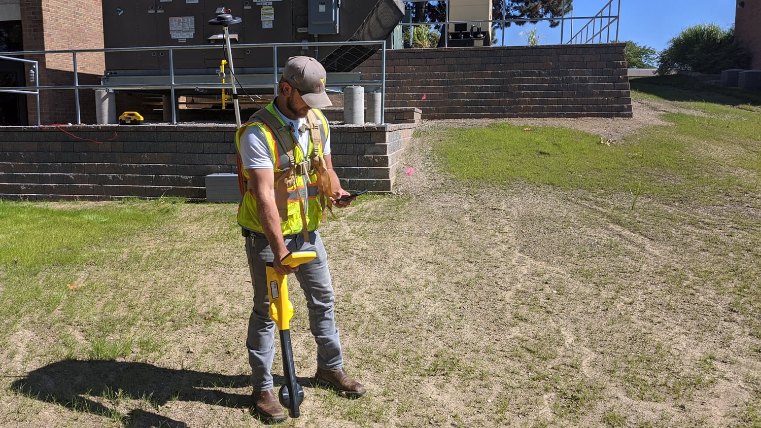
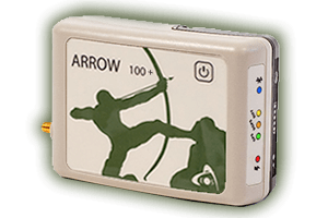
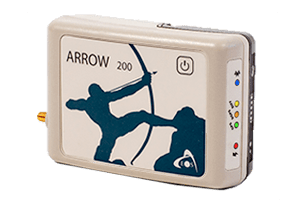
Whether you identify as a state department tasked with a specific asset (such as urban forestry or electric/water utilities), a municipality, or council, Eos has GNSS solutions for you. Our local government customer segment is our largest, which means we cater to providing reliable, budget-friendly, and flexible solutions for accuracy that meet all municipal needs. Whether you need to acquire submeter accuracy to map trees and street lamps, or centimeter-level accuracy for water and electric utilities with an eye toward the future, our team can help.
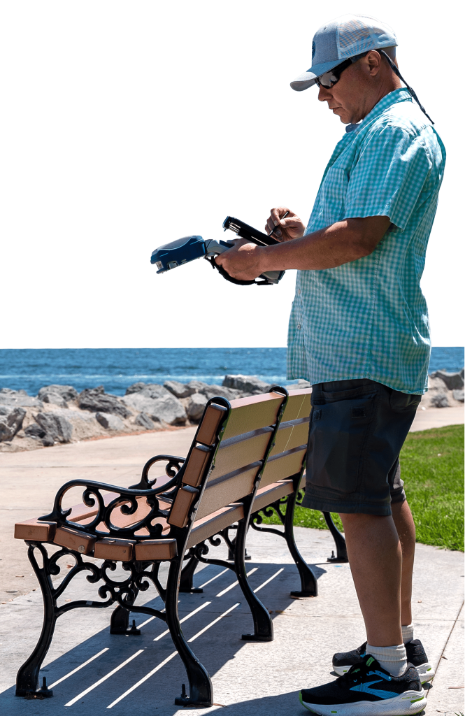
Flexible Accuracy
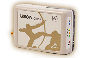
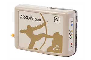
Choose from GNSS receivers that offer anywhere from submeter to centimeter-level accuracy.
Myriad Applications
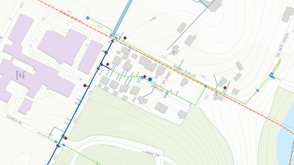
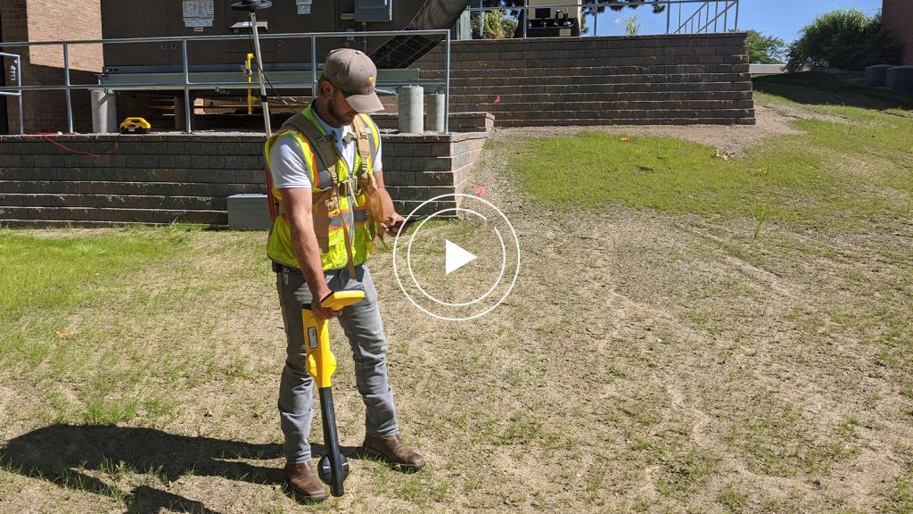
Local government teams who buy our GNSS receivers often find new uses for high-accuracy mapping, including a variety of utilities and related infrastructure, natural resources such as urban forestry, and more.
Globally Compatible
Eos is proud to offer device- and app-agnostic receivers. This means the model you choose works with your mobile devices and data-collection apps today — and tomorrow. We recommend a range of partner software and hardware, but even if your desired third-party technology isn’t listed, we can probably work with it. Simply inquire with our team.
Mapping Made Easy
Have you been dreaming of a GPS solution that satisfies common municipal requirements? It’s easy to use, doesn’t cost a fortune to deploy, requires little to no user training, and works with your existing or desired apps and mobile devices? Look no further. Eos Positioning Systems offers a range of accuracy levels with our external GNSS receivers. Simply contact our team, talk us through your desired accuracy level including current and future use cases, and we will match you to a GNSS receiver that meets your current and future needs. There are no hidden costs, no required subscription fees, and no mandatory software purchases.
State & Local Government Organizations Using Eos GNSS Receivers
Featured State & Local Government GNSS Success Story
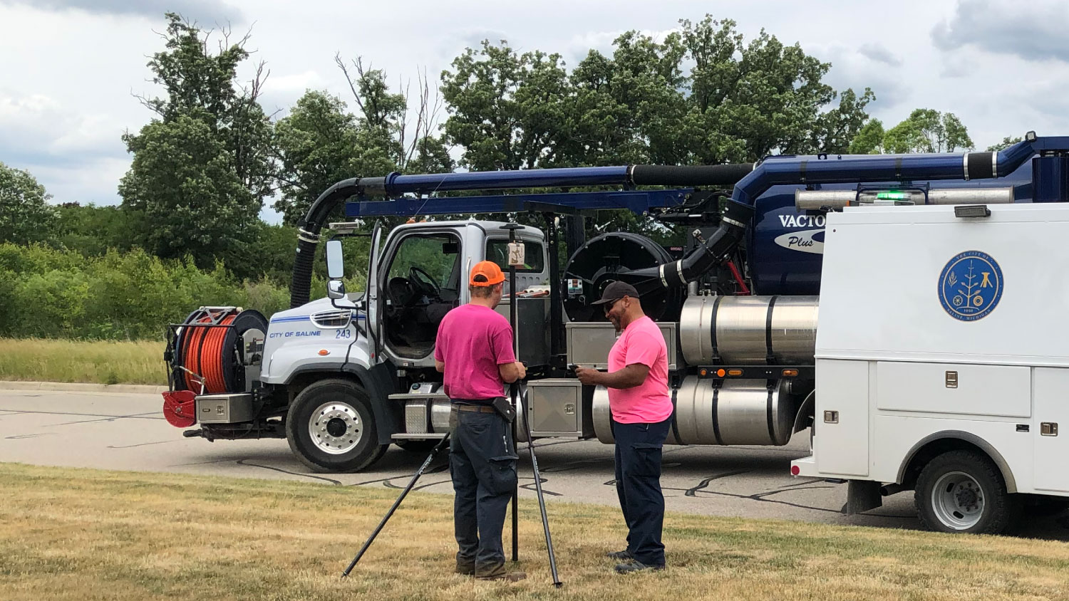
A Forward-Thinking Michigan Municipality Implements High-Accuracy Maps for Program Management
The City of Saline brought GIS in house, deployed high-accuracy GNSS receivers, and is working toward a streamlined longterm master plan.
More Info
