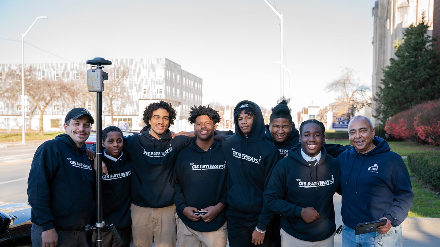
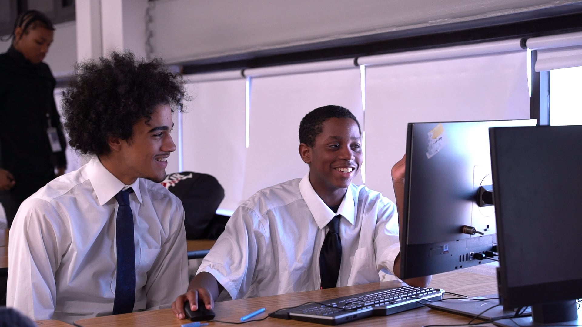
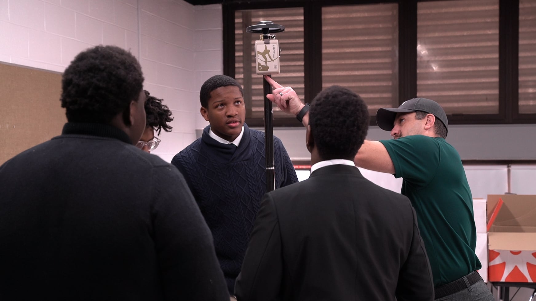
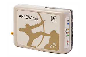
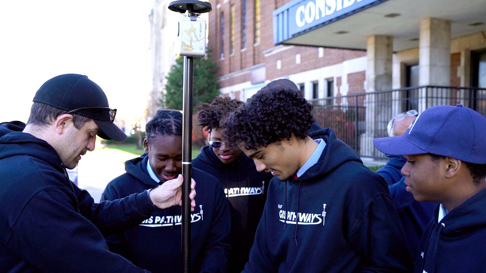
GIS Pathways students in Detroit, Michigan learn high-acuracy GNSS and GIS with Eos Arrow Gold receivers

GNSS for Educational Institutions

Does your university or college require a GNSS receiver for student curriculum, research programs, or practical field applications such as archeology or facilities management? More and more educational institutions are choosing GNSS receivers from Eos Positioning Systems for all types of programs, ranging from archaeology and agriculture to drones, urban forestry and more. Whether you want to teach students how to collect accurate data in the field or maintain your own campus facility assets, we have a solution for you. Keep reading to see why educators, facility teams, and student researchers choose Eos GNSS receivers.
Attendees Learn about GNSS at a High-Accuracy Workshop in Chicago, IL

Variety of Accuracy Options

We offer a variety of GNSS receivers so you can achieve the exact accuracy you need, ranging from submeter to cm. Best of all, you’re never locked into a specific software or subscription.

Browse GNSS Hardware >

Complete Flexibility

Eos receivers support all iOS®, Android™ & Windows® devices. This means your instructors, students, and personnel can use their own devices to collect accurate data. Moreover, we offer a variety of field gear to support all mounting preferences.

Browse GNSS Accessories >

Supports Any Software

Most universities use a diverse toolbox of software. Eos GNSS receivers are app agnostic, meaning they work with all third-party applications. Even if you don’t see your app listed on our website, we support it.

Browse Partner Apps >

Browse Education Stories

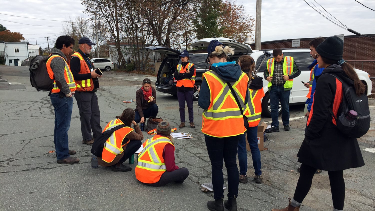
See how education professionals are deploying Eos GNSS receivers in curriculum, research, and practical applications at schools worldwide.

Browse Education Case Studies >

As High Performing As You Are

Every dollar of your school’s budget counts. That’s why we’re proud to say our GNSS receivers are future-proof, rugged and waterproof, and easy to use even if you’ve never used a GPS receiver before. Even if you change out your mobile devices and software in the future, your Eos GNSS receiver will continue to work. Moreover, we guarantee each receiver with a two-year warranty, and customer support is available at no extra cost. If you’re ready to get started with Eos GNSS, contact us today to be connected to a local reseller who can guide you through your selection.
Contact us today to discuss your work >

Eos Arrow High-Accuracy GNSS for Education

Educational Institutions Using Eos GNSS Receivers

Featured Success Story

Foggy Forest

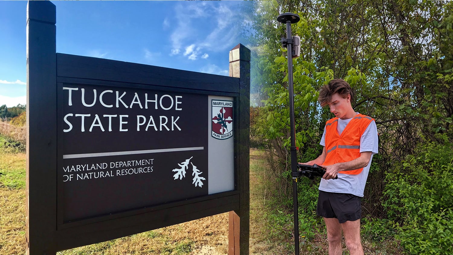
Mapping Dreams: Detroit Students Empower Their Futures with GNSS

Discover how this pivotal program teaches public high schoolers how to use GIS, GNSS, drones, and related technology.

More Info
Even More Education GNSS Case Studies

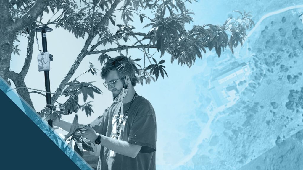
Beyond the Tide: Tracking California’s Coastal Change with High-Accuracy Maps

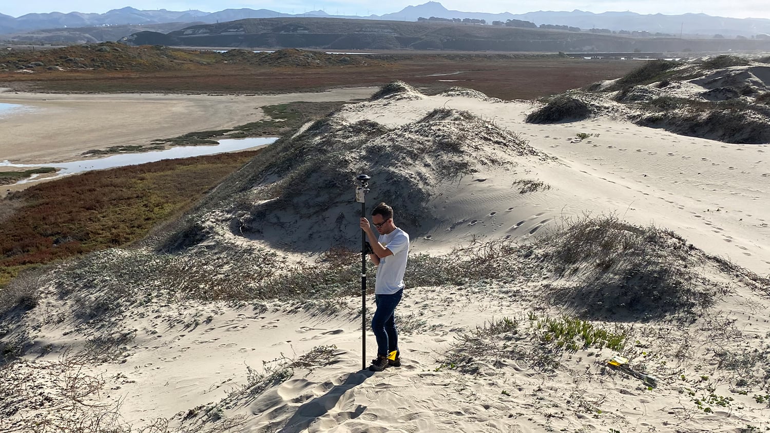
To enable more accurate predictions about sea level rise, Dr. Kyle Emery is piloting a drone, GNSS, GIS, and satellite imagery workflow.

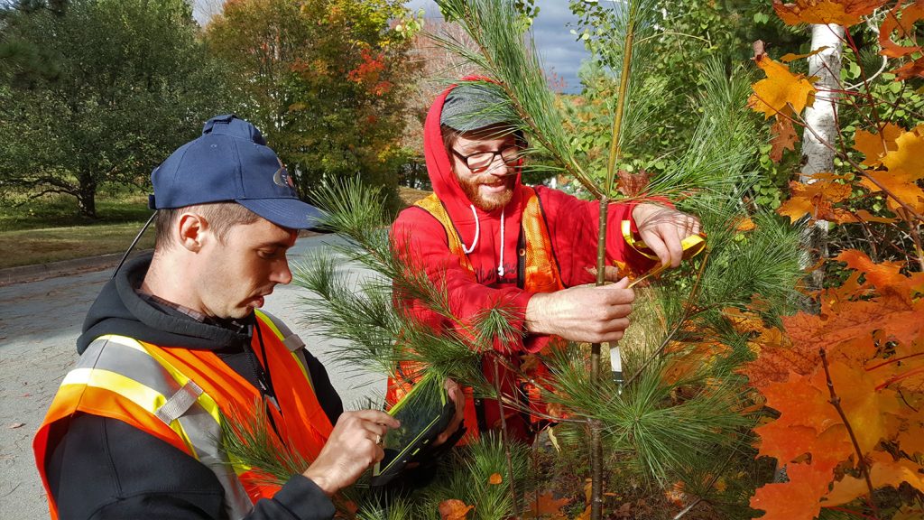
Halifax Students Identify $270,000 of Covered Tree Replacements

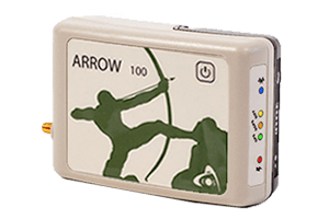
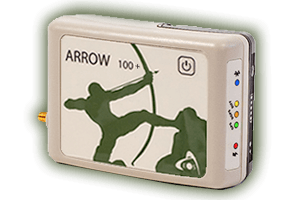
Students hold contractors responsible for $270,000 in warranty-covered replacements by using Arrow 100 for tree inventory with Esri Collector.

Customer Spotlight: Will Forker Represents Reality in Accurate 3D Models

Using drones, high-accuracy Eos GNSS receivers, and ArcGIS, Will is creating geospatially referenced 3D models for his clients.

Canada Students Determine the Health of 2,000 Street Trees

Students from Dalhousie University used the Arrow 100 for urban forestry. In just one weekend, students mapped over 2,000 trees on personal mobile devices.

CSU Monterey Bay Tackles High-Accuracy Campus Mapping

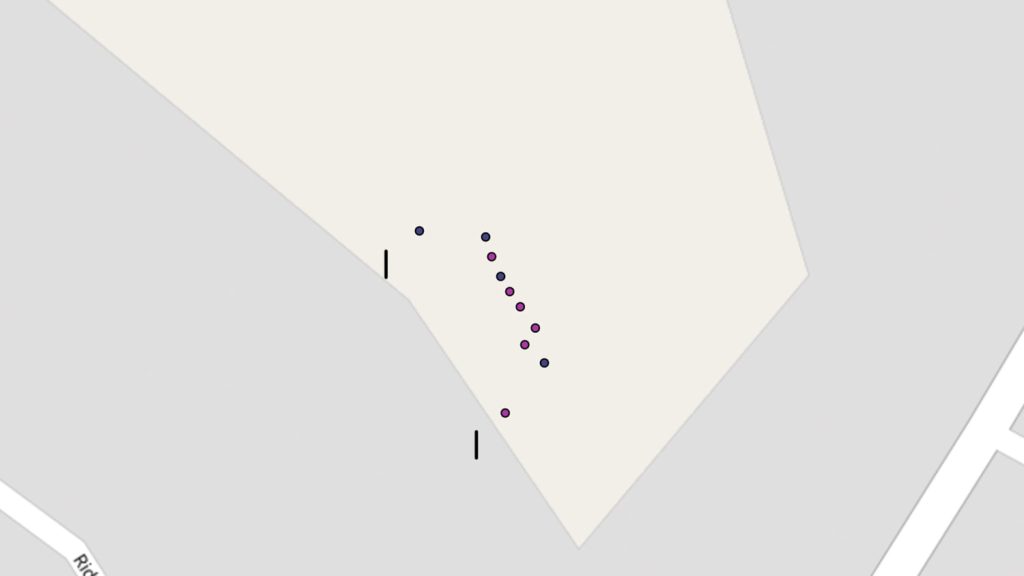
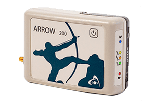
California State University-Monterey Bay increased positional accuracy for campus assets with the Arrow 200 for RTK elevation collection on Esri Collector.

Mapping Unmarked Graves at Indigenous Residential Schools

Sarah Beaulieu combines GPR and GNSS to locate grave locations at Indigenous Residential Schools across Canada.

Do Giant Tortoises Make Good Neighbors?

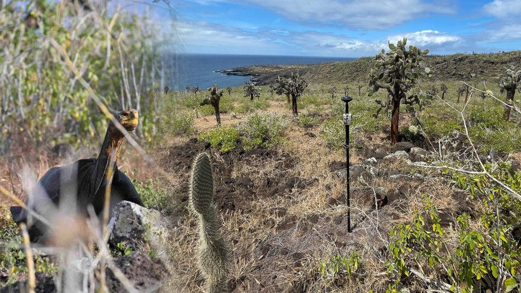
Charles Lehnen uses brand-new Galileo HAS corrections with the Arrow Gold+ in the Galápagos archipelago. His work will study Santa Fe Island’s rewilding.

What Educational Professionals Say About Eos

Meg Gaillard

“Some students have never worked in a marine forest setting before. We can track their locations, and that brings us an element of safety.”

Meg Gaillard

Archaeologist, South Carolina Department of Natural Resources / SC, United States

David Foster

“It has of course been an excellent experience for students not only from the internship experience but also the opportunity to work with municipal and experienced practitioners in the field of urban forestry. It prepares them for what they might end up doing after their master’s degree at Dalhousie.”

David Foster

Alumni, Dalhousie University / NS, Canada

Michael Cousins

“Having the Arrow Gold has really allowed us to take this to the next level and teach them the full evolution of mapping with a drone. It allows our students to understand the full process from start to finish.”

Michael Cousins

Partner and GIS Practice Lead, OHM Advisors / MI, United States

Sarah Beaulieu

“Because the question of the burials is such a contentious issue, everything must be done to the highest level of professionalism and accuracy. Even beyond that, because everything we are doing is being scrutinized.”

Sarah Beaulieu

Assistant Professor in Anthropology and Sociology, University of the Fraser Valley / BC, Canada

David Foster 2

“I hope the partnership has been of tremendous value to the municipality not just because of the realized cost savings but because there are all kinds of research opportunities that have generated innumerable recommendations for them … It has spawned incredible opportunities for our students.”

David Foster

Alumni, Dalhousie University / NS, Canada

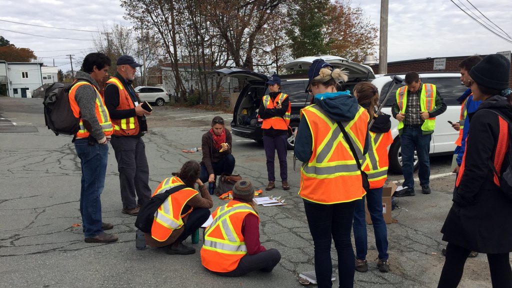
Professionals in Action Mapping at Educational Institutions

Recommended Eos GNSS Solutions for Educational Institutions

Upcoming Events

Find Eos at the 2024 Esri Southeast UC

Eos is excited to sponsor the 2024 Esri Southeast UC in West Palm Beach, Florida. Ask our dream team of GNSS experts all about mobile mapping!

Find Eos at the 2024 MidAmerica GIS Consortium (MAGIC)

Find an authorized Eos representative at the 2024 MidAmerica GIS Consortium (MAGIC) event in Omaha, Nebraska.

Browse All Events >