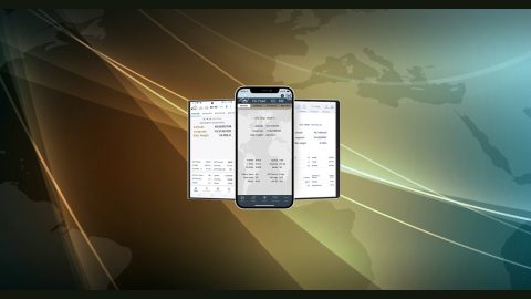
Eos Positioning Systems’ software, tools and utilities allow you to monitor GNSS data from your Arrow Series® GNSS receivers in real time. They also allow you to perform advanced capabilities, such as connecting your Arrow GNSS receiver to a Windows device and partaking in advanced functionality, such as audible and visual alarms, special configurations, and more. Browse these Eos software, tools and utilities below:
Arrow USB Drivers
Arrow USB Drivers allow your Windows computer, notebook, tablet or phone recognize Arrow GNSS receivers. With Arrow USB Drivers downloaded you can get RTK on your windows device, and you can also use this to update your Arrow firmware. Arrow USB Drivers will automatically install on your device upon connecting your device to an Arrow GNSS receiver, as long as you are also connected to an Internet signal. However, you can also download the Arrow USB Drivers here and manually install.
Eos Tools Pro
Eos Tools Pro is a free GNSS monitoring and NTRIP client app for iOS, Android, Windows. Eos Tools Pro is the main mobile app
Eos Tools Pro is a free GNSS monitoring application for iOS, Android and Windows that is made by Eos Positioning Systems. Eos Tools Pro is compatible with Arrow Series® GNSS receivers. With Eos Tools Pro, mobile workers can monitor GNSS metadata (e.g., PDOP, RMS, differential status, satellites tracked/used) in real time. Eos Tools Pro also enables connection to RTK networks and base stations through its built-in NTRIP client. In addition, Eos Tools Pro offers advanced features, such as configurable alarms and real-time GEOID height conversions. Eos Tools Pro is also the main app used in a number of Eos solutions, including Eos Locate™ and Eos Laser Mapping™, both for ArcGIS apps. Please note Eos Tools Pro does not collect data.
Eos Utility
Eos Utility is a configuration and monitoring tool for the Arrow Series® from Eos Positioning Systems. The tool is available for installation on Windows (desktop) and Windows Mobile devices. With Eos Utility, you can: Monitor Accuracy from a Known Location, monitor Atlas® Satellites, and convert binary data to RINEX.


