Eos Positioning Systems® offers several types of solutions to enhance your mobile surveying. These solutions include advanced data-collection workflows, as well as additional paid sources of differential corrections.
Advanced Data-Collection Workflows
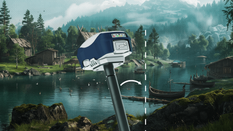
Eos Positioning Systems® currently offers multiple advanced data-collection workflows. Our newest solution is Skadi Tilt Compensation™, an optional add-on for compatible Skadi Series™ GNSS receivers that drastically reduces human error during RTK data collection on a physical survey range pole. With Eos Laser Mapping™ for ArcGIS®, a field worker may collect assets from afar while retaining survey-grade accuracy. This solution is free to deploy but requires the purchase of all necessary technology components (e.g., compatible laser rangefinder, ArcGIS Field Maps licensing). The second advanced data-collection workflow currently available is Eos Locate™ for ArcGIS®, an underground utility-mapping solution. This solution is also free to deploy but requires the purchase of necessary third-party technologies (e.g., compatible utility locator model, ArcGIS Field Maps licensing). Learn more about each solution:
Eos Locate™ for ArcGIS®
Eos Laser Mapping™ for ArcGIS
Differential Correction Sources
Select models of Arrow Series® GNSS receivers support the use of paid Atlas® differential correction service. This is recommended for customers whose field work will take place in an area where an RTK network, base station, or SBAS is either not available or not the most affordable choice. Depending on the Atlas® subscription service you select, you may acquire anywhere from 4-50 cm location accuracy worldwide. Eos can help you determine if this is the best solution for your accuracy needs. Learn more about Atlas® below, and contact our team if you are interested in setting up the service or asking questions specific to your use case.


