Industry Gas Ellingson Companies Arrow Gold GNSS

GNSS for Gas Professionals

You work hard to manage your utility assets, so it’s critical that your GPS hardware works just as hard. Eos Positioning Systems’ (Eos) GNSS receivers are used worldwide by thousands of field technicians for gas utilities, consultancies, and related professionals. Whether you’re looking to upgrade legacy technology or adopt your first high-accuracy GNSS solution, we can help. All Eos GNSS hardware is certified rugged, waterproof, and capable of working anywhere your field crews work — providing high accuracy even in remote and disconnected environments. Eos hardware also gives you the flexibility of choosing any data-collection app on the market, including ArcGIS Field Maps, LocusView, CartoPac, SPOT, and many more. Moreover, when you choose Eos, you’re gaining access to free advanced data-collection solutions, including laser mapping and underground utility mapping. See why more and more gas professionals are choosing Eos.
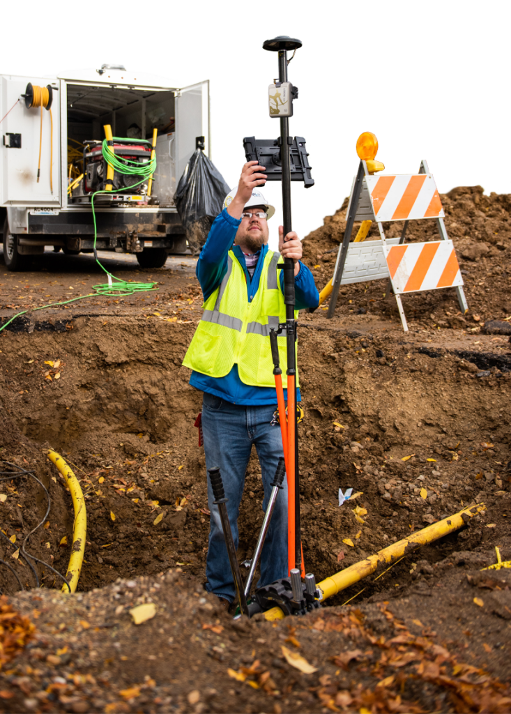
Industry Cutout Gas Ellingson Companies Arrow Gold GNSS
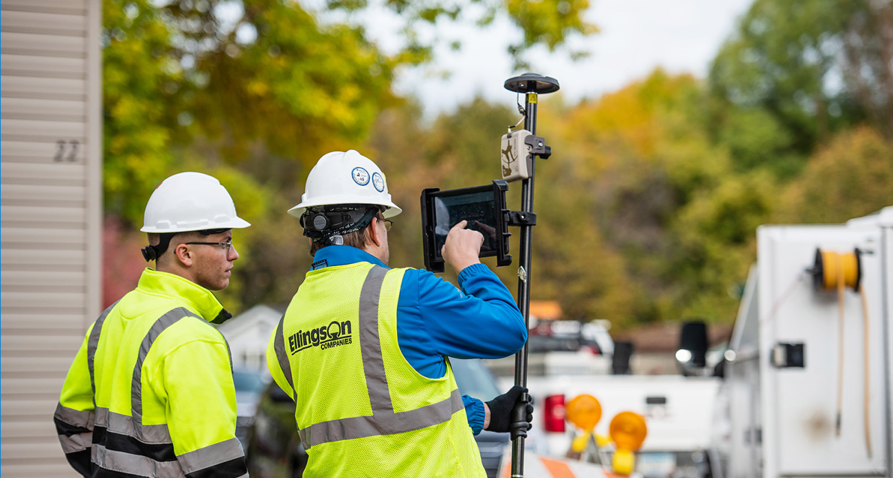
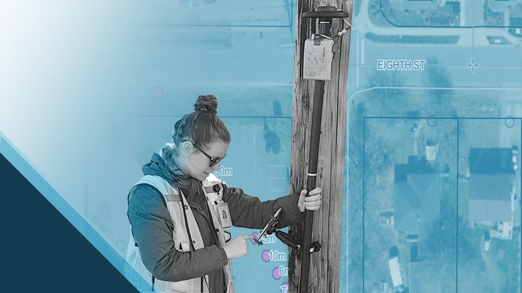
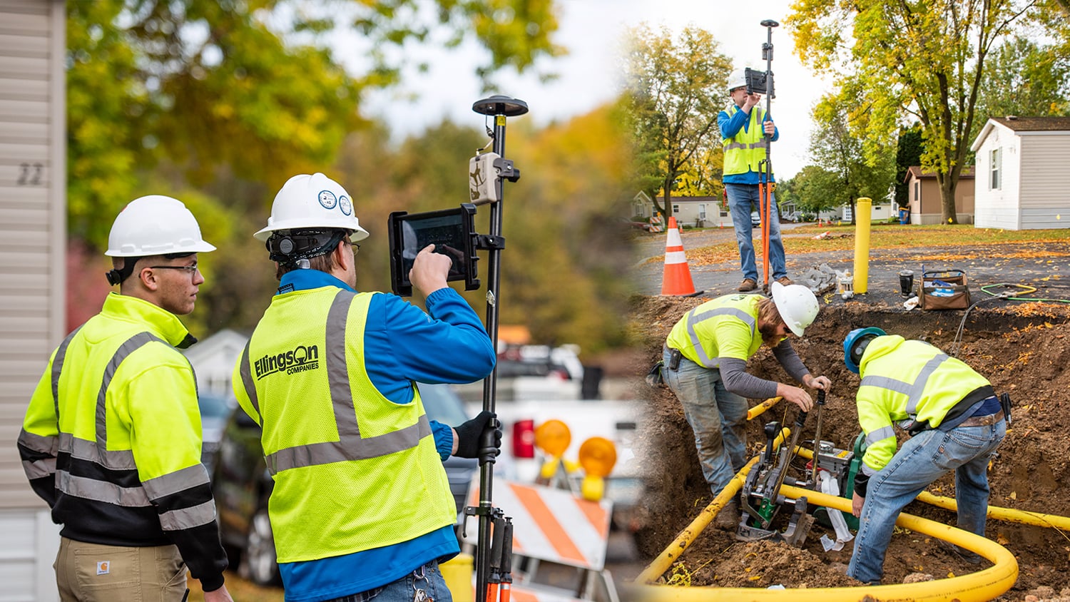
Photos courtesy of Ellingson Companies.

Extreme Accuracy

Get the accuracy you need by choosing from a variety of GNSS models, whether that’s 60cm, 10-inch, 4cm, or 1cm. Explore our GNSS models online, or contact our team to talk through the best options based on your project and organizational goals.

Contact Our Team >

No Subscription Needed

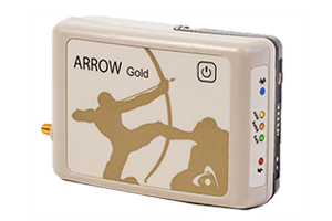
At Eos, we sell accuracy — not subscriptions. All of our GNSS receivers work out-of-the-box without any recurring subscription fees. For extremely remote areas, we offer mobile base stations or an optional subscription service, Atlas®.

Browse GNSS Receivers >

Free Utility Solutions

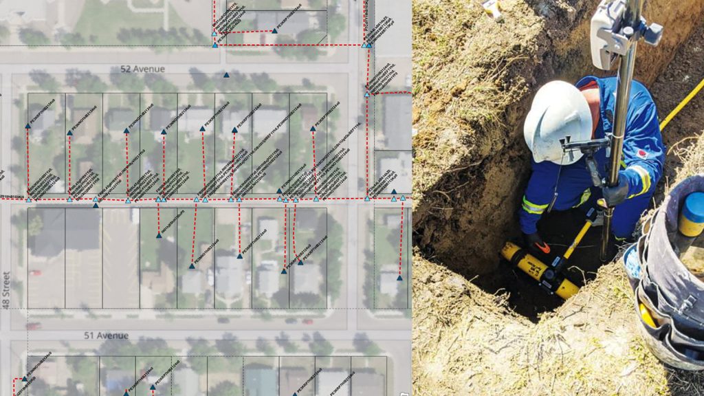
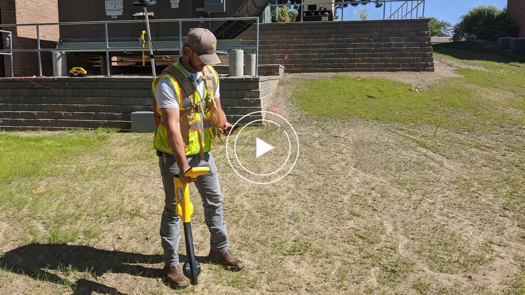
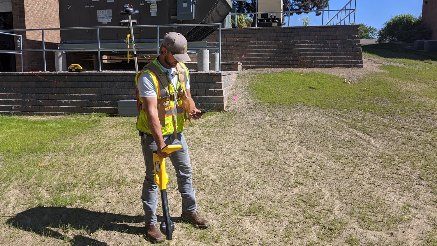
With our flagship free solutions, Eos customers can take advantage of free laser-mapping and underground utility mapping workflows, directly into ArcGIS®. There is no extra cost for these mapping solutions; all you need is Eos hardware and compatible partner technology.

Learn About Our Solutions >

The Gas Pros’ GPS

Worldwide, more and more gas professionals are choosing Eos GNSS receivers. Browse use cases ranging from tracking and traceability, better asset management, remote construction mapping, and more.

Browse Gas Case Studies >

GPS that’s Ready for Anything, Just Like You

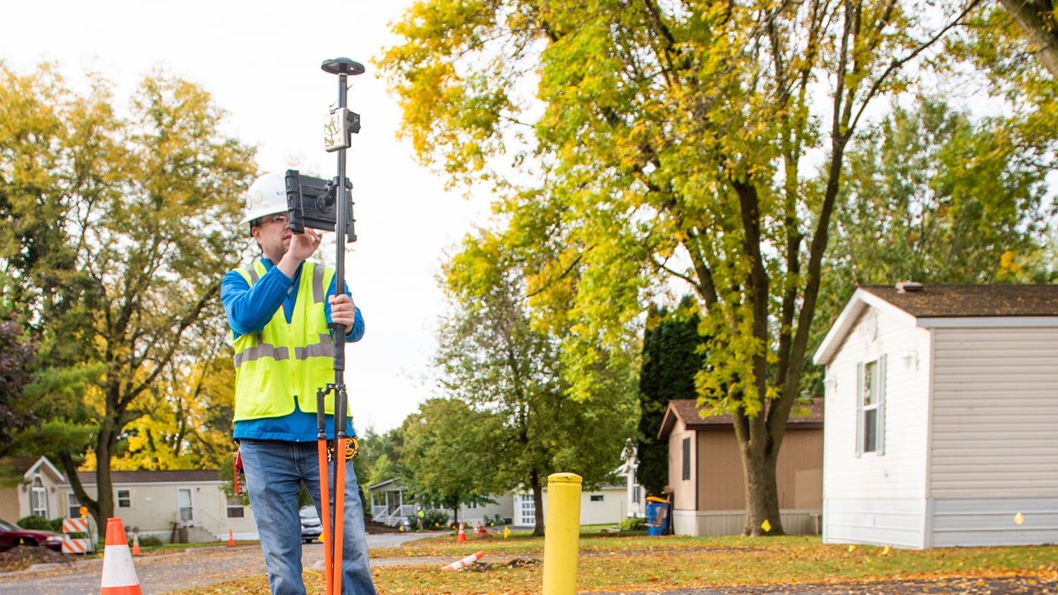
When you choose Eos, you’re giving yourself the gift of peace of mind. Our GNSS receivers are known industry-wide for being reliable, easy to configure, and — most importantly — accurate. Whether you need six-inch accuracy in remote northern mountains, centimeter-grade accuracy in disconnected service areas, or submeter accuracy for basic data collection, we’ve got you covered. We offer a variety of GNSS models and mounting setups to meet any project requirements, field-crew preferences (e.g., iOS, Android, Windows), and accuracy thresholds. Our GNSS receivers are lightweight, cross-platform compatible, and easy for any non-mapping professional to pick up and use. They also have all-day battery life and field-replaceable batteries. Moreover, our receivers last in extreme environments, whether that means mud, snow, desert heat, or that one field employee who never learned the meaning of “gentle.”
Contact us today to discuss your work >

Customers Using Eos GNSS Technology to Map Gas Utilities

Featured Success Story

Foggy Forest

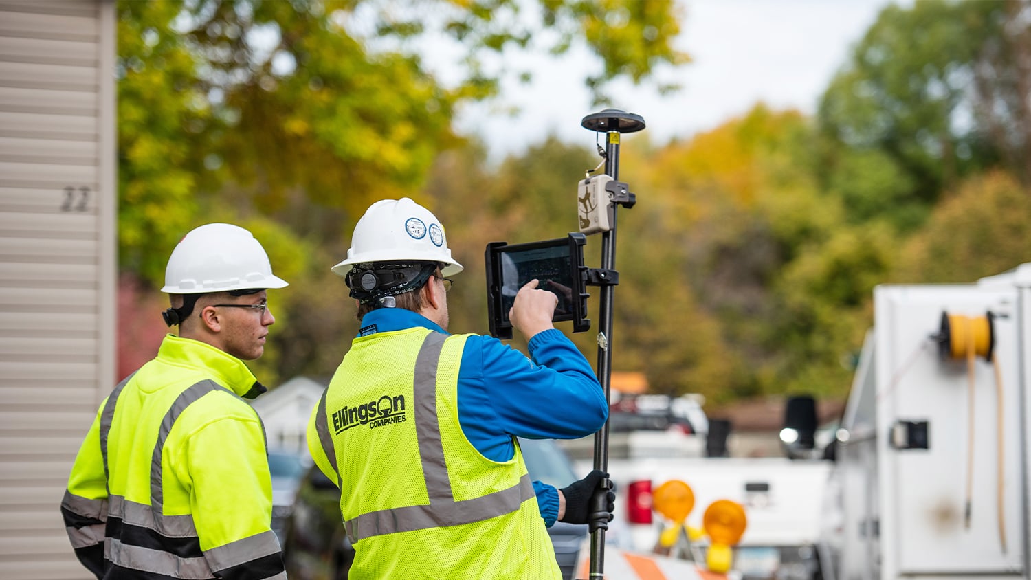
Efficiently Capturing High-Accuracy New Pipe Construction [A 2022 Esri UC Presentation]

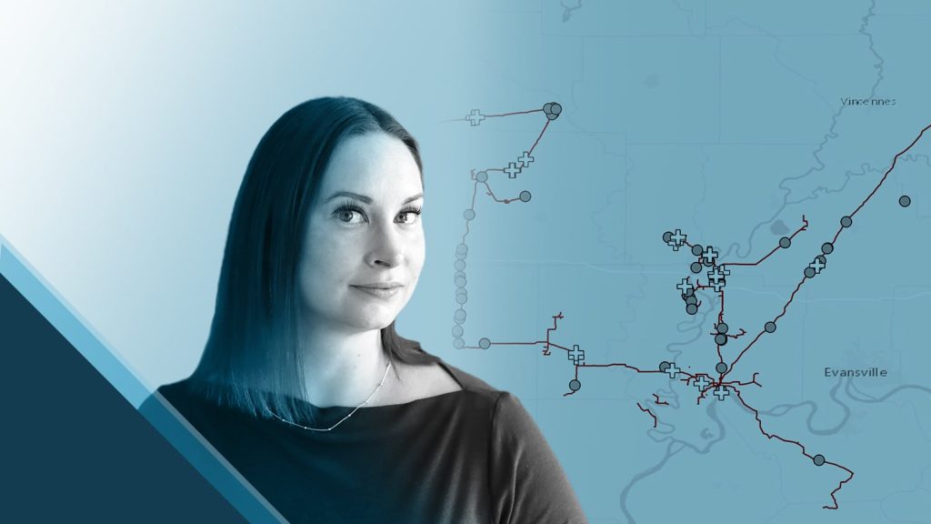
Minnesota-based Ellingson Companies provides gas utilities with real-time as-builts that are captured with centimeter-level accuracy.

More Info
Even More Gas GNSS Case Studies

Canada Gas Utility Meets Tracking and Traceability Requirements

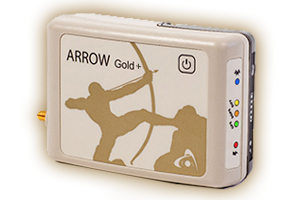
Apex Utilities uses an Arrow Gold® RTK GNSS base/rover configuration with Android tablets and ArcGIS Field Maps for tracking and traceability.

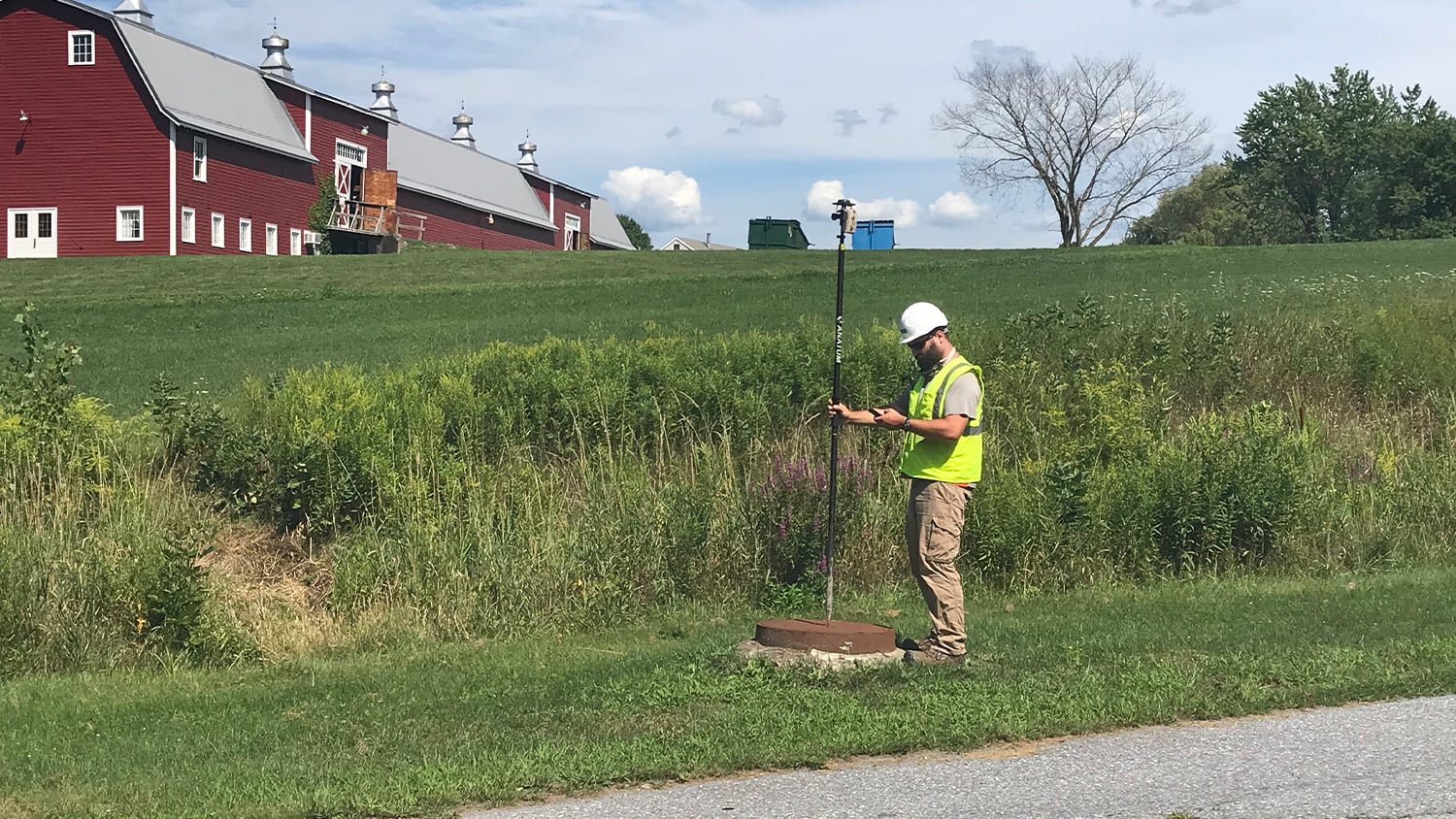
Vermont Gas Systems Doubles Efficiency with Arrow Gold® Receivers and iPad®s

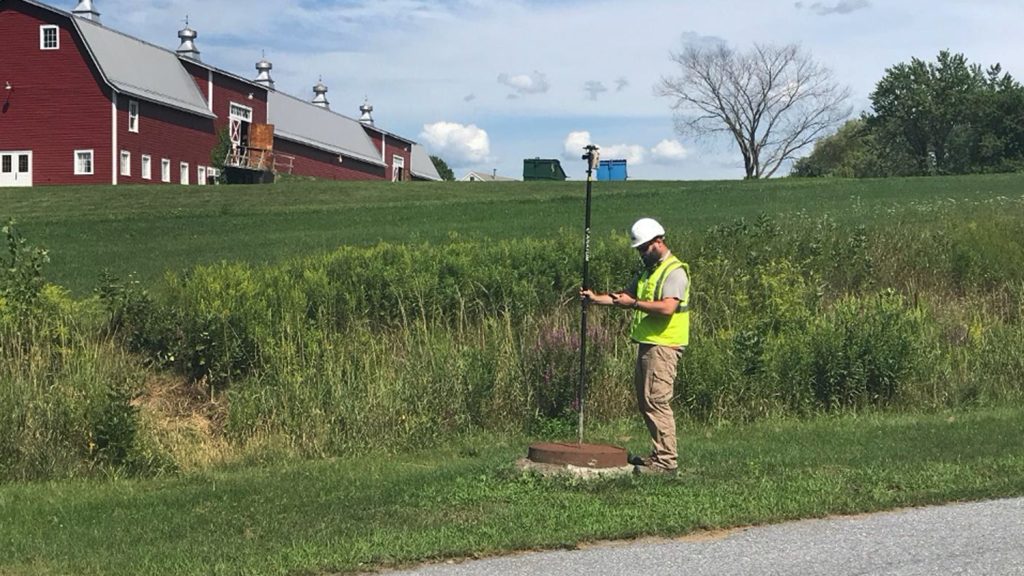
Vermont Gas Systems doubled their efficiency by switching to Arrow Gold® GNSS receivers and ArcGIS mobile apps for as-built mapping.

Customer Spotlight: Ellie Chao Brings the Power of Maps to Utility Clients

Learn how Ellie Chao uses Eos Arrow Gold® GNSS receivers with ArcGIS Field Maps to increase trust in the accuracy of data for her utility clients.

Customer Spotlight: Erin Mara Increases Pipeline Mapping Productivity with GNSS

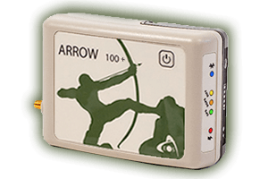
Erin Mara uses Eos Arrow 100® GNSS receivers with ArcGIS Survey123 to save her field crew hundreds of work hours, as they serve Midwestern pipeline clients.

Customer Spotlight: Damon Nelton Brings High-Accuracy GIS to Gas Utilities

Damon Nelton overcame many challenges to develop a real-time, GPS as-builting workflow for gas-utility construction projects.

High-Accuracy As-Builting for Gas Utilities: Webinar with Esri

Learn how to achieve high-accuracy as-built mapping for your gas utility in this April 2022 webinar from Esri and Eos Positioning Systems.

Customer Spotlight: Nora Toro Brings Confidence to Clients

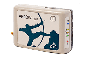
Learn how Nora Toro uses Eos Arrow GNSS receivers to help coworkers find optimal high-accuracy data collection workflows and strengthen trust in their data.

Oakland Co., MI, Maps Underground Utilities with Eos Locate

In this recorded Eos Locate case study, Michael Cousins explains how underground mapping (Arrow Gold®, Collector) improved legacy buried-asset records.

What Gas Professionals Say About Eos

Damon Nelton

Ellingson Companies now owns a handful of both Arrow 100 and Arrow Gold GNSS receivers, which are used throughout many of our divisions to record location data of mostly buried assets.”

Damon Nelton

GIS Manager, Ellingson Companies / MN, United States

Ellie Chao

“When we are out in the field, whether this is myself or my field technicians, we really need something that does not break or require frequent maintenance. The Arrow receiver is just that device.”

Ellie Chao

Civil Designer and GIS Specialist, Chao & Associates, Inc. / SC, United States

Erin Mara

“Because Arrow receivers pair easily with our iPad and iPhone mobile devices, they are ideal for on-the-go data collection. Our teams use them alongside ArcGIS Survey123 to accurately find and mark repairs, collect location data for inspections, mark foreign line crossings (these are pipes or utilities owned by other companies that cross above or below buried CountryMark pipes), and respond to 811 locate requests.”

Erin Mara

GIS Specialist, CountryMark / IN, United States

James Cunningham

“If you have reliable, accurate GPS data, you can have all the confidence in the world.”

James Cunningham

GIS Administrator, Vermont Gas Systems / VT, United States

Mathew Desbiens

“Even five years ago, if you told me that mapping-grade GPS hardware Arrow Gold was going to get us one centimeter accuracy, I wouldn’t have believed you. Because at the time, you would’ve had to get a survey-grade total station hardware to do that. But times have changed! I’m really glad to be getting that accuracy.”

Mathew Desbiens

GIS Manager, Apex Utilities / AB, Canada

Zack Henry

“In my job position, I use a few applications that can all connect to the Arrow Gold. In doing so, I can smoothly transition from one project to the next without additional device setup and with Eos Tools Pro continually running in the background.”

Zack Henry

Field Services Technician, Encepta / BC, Canada

Professionals in Action Mapping Gas Utilities

Recommended Hardware and Software for Gas Professionals

Upcoming Events

Find Eos at the 2024 MISA Prairies Conference in Whistler

Find Eos at the 2024 MISA Prairies Conference in Whistler, BC, Canada. Ask our veteran GNSS expert any questions you have about mobile mapping of your assets.

Find Eos at the 2024 Esri India UC in Hyderabad

Join Eos in Hyderabad at one of three 2024 Esri India UCs! Stop by booth #3 at the expo to learn about using high-accuracy GNSS receivers with ArcGIS apps.

Browse All Events >