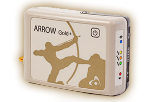
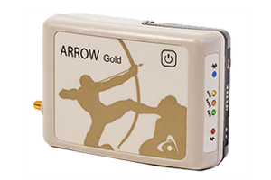
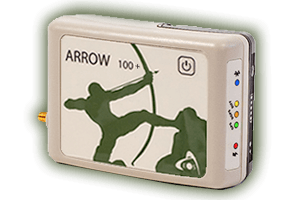
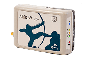
Eos Arrow GNSS Receivers from Eos Positioning Systems for High Accuracy Transportation Mapping, Roads, Railways, Ports

GNSS for Transportation Projects

Higher location accuracy improves the management of transportation infrastructure, field crews, and equipment. Whether you need to conduct road surveys, validate construction, conduct inspections, route navigation, monitor trucks in real time, map utilities, or something else, our GNSS solutions can help. Eos Positioning Systems designs and manufactures GNSS equipment that is completely device and software agnostic, meaning it works with your existing smart devices and any mobile apps. All Eos GNSS receivers send high-accuracy locations via Bluetooth® to your mobile devices and offer accuracy options that work even in disconnected environments. We also offer a variety of field-gear options, so you can mount your GNSS equipment to a moving vehicle, person, or other desired setup. Keep scrolling to learn how professionals use our GNSS solutions in projects ranging from rail, roads and highways, ports and maritime, and a variety of other transportation-related projects.
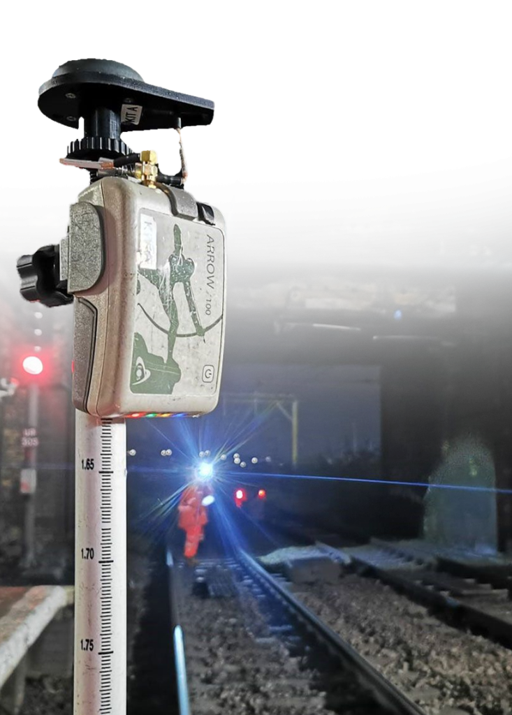
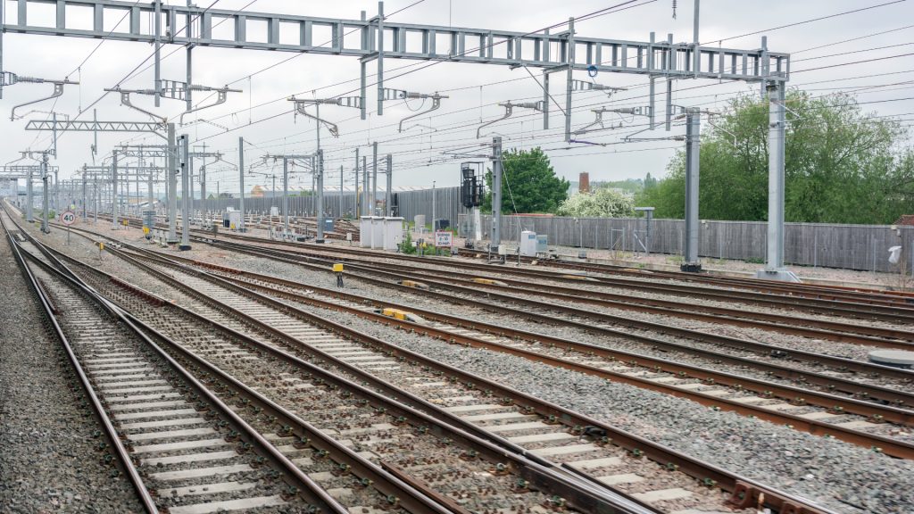
Industry Transportation Cutout - Eos Arrow 100 GNSS Receiver for High-Acccuracy Railway Mapping

Photo Credit: Amaro

Many Accuracy Levels

Various models of Eos GNSS receivers can provide accuracy from the submeter to centimeter levels. Moreover, our team of global resellers is available to discuss the best option for your needs. Contact us to be connected or browse models.

Browse GNSS Models >

Rugged Yet Flexible

All Eos GNSS equipment is rugged and waterproof to withstand any type of field environment. We also offer a range of accessories to mount your GNSS equipment to a vehicle, wear it in a safety vest, carry it on survey rangepole, or choose a different configuration.

Browse Field Accessories >

Globally Proven

Transportation professionals like you are using Eos GNSS hardware in solutions across the globe. Browse some of our recent case studies in rail, ports and maritime, roads and highways, and more.

Browse Case Studies >

Embark on Your Journey to Greater Accuracy

Are you tired of wondering if the maps of your roads, utilities, easements, infrastructure, and other transportation assets are accurate? Do you need a GNSS that fits your budget, is easy for crews to pick up, and provides reliable accuracy in a variety of environments? Eos GNSS receivers offer a range of accuracy levels including submeter, subfoot, and centimeter. Our network of global resellers works with you personally to identify the best GNSS option that meets your needs. Every GNSS receiver our team designs and manufactures is rugged, agnostic, and hand-tested in our Montreal office before being shipped worldwide. With our hardware, you can calculate survey-grade positions once per second or faster. You can also mount our receivers to any vehicle, including trucks, boats, helicopters, and more. Whether you’re tracking crews for safety in dangerous environments, mapping vehicles live, or conducting asset surveys on foot, we have options that work for you.

Contact us today to be connected to a reseller near you >

Eos Arrow GNSS Receivers from Eos Positioning Systems for High Accuracy Transportation Mapping at Ports

Professionals Using Eos GNSS for Transportation Projects

Featured GNSS Success Story

Foggy Forest

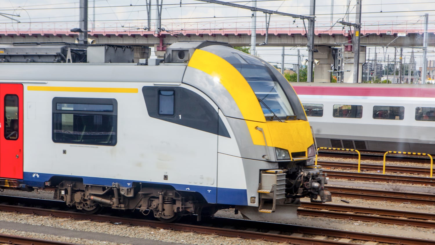
Belgian Rail Company Reenvisions Worker Safety with High-Accuracy GIS

Belgian rail company Infrabel improved worker safety by using high-accuracy GIS to track train and worker movements.

More Info

Even More Related GNSS Case Studies

Arcadis: Transforming asset surveys on the railway

In a ground-breaking U.K. project, Arcadis captured accurate data efficiently in a live rail environment and shared in real-time to the client.

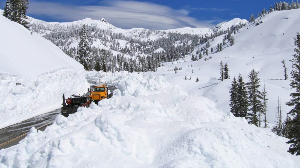
GNSS Data Helps National Park Clear Snow from Unmarked Alpine Roads

National Park Service is using Arrow Gold® RTK GNSS receivers at LAVO national park to clear tens of feet off alpine roads with cm accuracy.

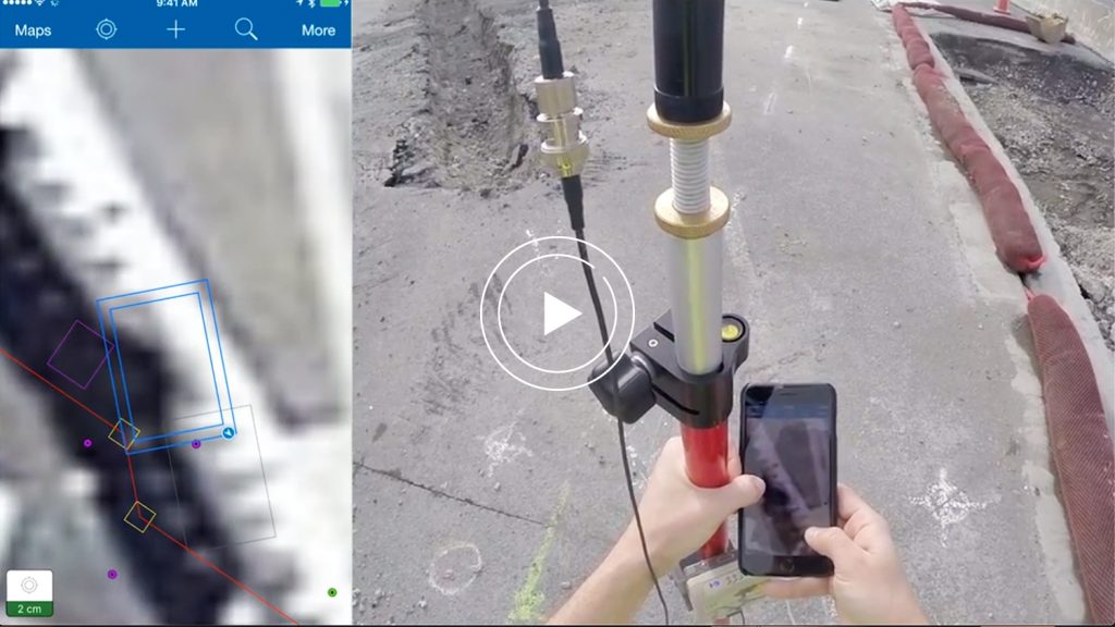
Ports of Auckland Demonstrates Arrow Gold with ArcGIS

Ports of Auckland uses Eos Arrow Gold RTK receiver with Esri Collector to verify port construction is being performed according to designs, down to the cm.

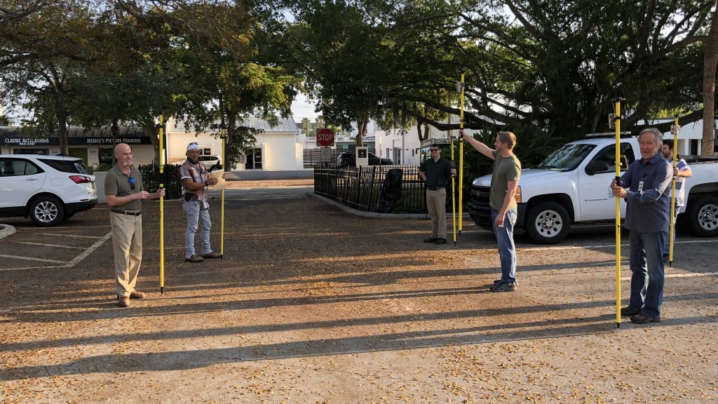
COVID-19: Idled Sarasota Employees Contribute with Field Work

When some City of Sarasota employees were temporarily idled by the COVID-19 shutdown, the city found an innovative way to transition them to high-accuracy GIS field work by renting 14 Arrow 100® GNSS receivers.

What Transportation Professionals Say about Eos

Jérôme Duckers

“With this level of accuracy from the Arrow Gold, we can get a precision of a few centimeters for the location of each beacon.”

Jérôme Duckers

Technical GIS Manager, Infrabel / Brussels, Belgium

Terry Bills

“The ability to know and understand the location of all your assets with extremely high accuracy is critical to safety in the rail industry worldwide.”

Terry Bills

Transportation Industry Manager, Esri / CA, United States

Damien Paque

“The location data from the previously digitized CAD drawings has proven, overall, to be not accurate enough for an AR application. We are looking into ways to improve the quality of this data so that, ultimately, we can use AR technology on our construction sites.”

Damien Paque

Geoservices and Solutions Team Leader, Infrabel / Brussels, Belgium

Mark Welch

“A lot of our work relies on having faith in our GPS and GIS. … We zoom in pretty close to the line when we’re doing the bulldozing.”

Mark Welch

Roads and Trails Supervisor, Lassen Volcanic National Park / CA, United States

Herminio Rodriguez

“I have never been more satisfied with the accuracy and convenience of collecting data.”

Herminio Rodriguez

Director of Information Technology, City of Sarasota / FL, United States

Professionals in Action Mapping Transportation Assets

Recommended GNSS Hardware and Software

Upcoming Events

Find Eos with Esri at the 2024 HRWA Training & Technical Conference

Visit Eos with Esri at the annual Hawaii Rural Water Association Training & Technical Conference on the big island! Be sure to stay through Thursday afternoon to participate in our free, three hour mobile mapping workshop — including with the latest Eos GNSS receivers!

Find Eos at Esri Konferenz 2024

Visit Eos Positioning Systems at Esri Konferenz 2024 with Alta4 AG, and learn about the new Skadi Series™ GNSS receivers for Esri Deutschland customers.

Browse All Events >