Protect endangered species, preserve historically significant artifacts, and encourage the health of the planet with high-accuracy GNSS receivers from Eos Positioning Systems. Our GNSS receivers are used worldwide to protect some of the most significant vulnerable species, ecosystems, and historical sites. Whether you need to improve the basic accuracy and precision of your smartphone and tablets, or if you need centimeter-grade elevation data to monitor elevation and groundwater levels and erosion, we’ve got a model that will work for you. Our submeter GNSS receivers provide an average 30-60 centimeter accuracy out of the box, anywhere in the world. Each receiver is also completely software-agnostic, so you can work with popular third-party applications like the ones listed from our preferred partners, or you can choose any other application that meets your needs.

Survey-Grade Accuracy
In most locations where an SBAS is available, our GNSS receivers use free differential corrections signals to provide at least 30-60 cm accuracy. With a base station or RTK network, you can get centimeter-level accuracy. If you’re not sure what’s available in your area, our team is happy to walk through your best options.
Contact Our Team >
Portable & Rugged
Eos GNSS receivers are rugged, lightweight, and waterproof. With all-day battery, you can carry them through wetlands and other challenging terrain, in the field-gear setup you prefer.
Explore Our GNSS Accessories >
Supports Any Software
No prior GNSS experience is needed to use an Eos GNSS receiver. It’s as simple as Bluetooth®-pairing the device and beginning to stream positions.
Compare GNSS Receivers >
Browse Case Studies
See how people from all walks of life use Eos GNSS receivers for environmental, conservation, and preservation purposes.
View Case Studies >
Accuracy That Can’t Be Argued With
Let’s face it: Environmental management often requires the collaboration of government, private organizations, nonprofits, and myriad other individuals and entities. Making sure everyone agrees on the measurements of flora, landscapes, and other critical features — both today and over time — means having reliable data. With Eos GNSS receivers, you’ll be able to measure X, Y, and Z data down to the centimeter (depending on model), even in remote areas without cell coverage. This means you’ll finally be able to bring irrefutable confidence to the table when discussing how to best manage, conserve, and preserve environmental resources and sites. Moreover, Eos GNSS receivers support any device (e.g., iOS®, Android™, Windows®) via Bluetooth®, and they also work with all third-party mobile applications. So no matter what technology you use in the field, your GNSS receiver will be compatible. We also prioritize ease of use, so that your teams can get up and go whether they are veteran field workers or volunteers. To learn more about specific products and field-gear setups we recommend for your type of work, contact our team today.
Organizations Using Eos GNSS Receivers for Environmental, Conservation, and Preservation Work
Featured Success Story

Mapping The Western Hemisphere’s Deepest Cave with High Accuracy
PESH is on a mission to explore and map México’s Sistema Huautla. The Arrow 100 GNSS receiver is helping them prove their survey findings.
More InfoEven More Related GNSS Case Studies

Do Giant Tortoises Make Good Neighbors?
Charles Lehnen uses brand-new Galileo HAS corrections with the Arrow Gold+ in the Galápagos archipelago. His work will study Santa Fe Island’s rewilding.
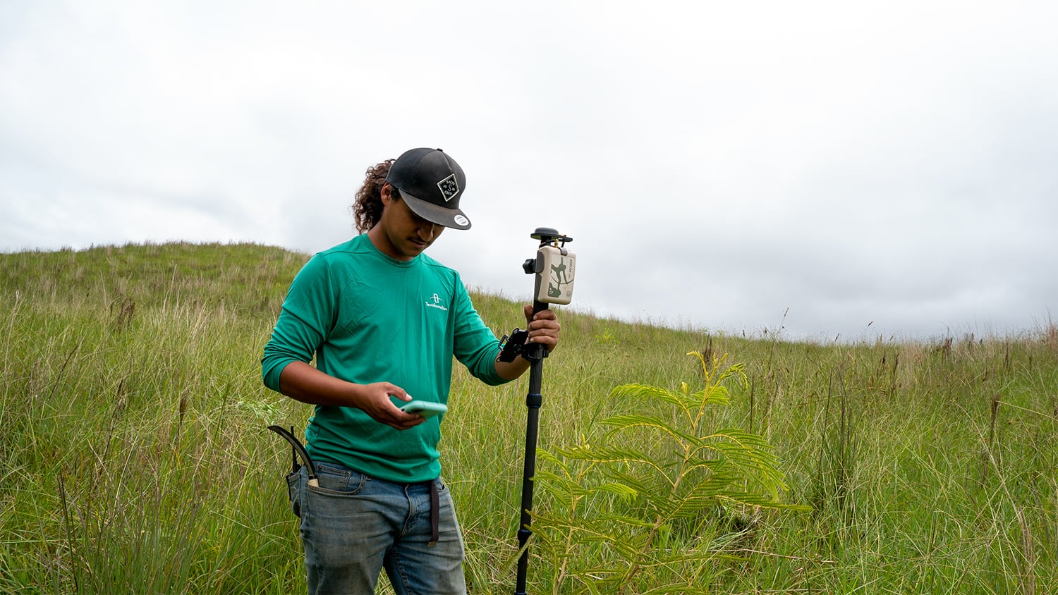
Terraformation: Combatting Climate Change with Accurate Accountability
Learn how Terraformation is combatting climate change by using high-accuracy GNSS / GIS to increase accountability for global reforestation projects.

Habitat Restoration using GNSS, GalHAS and Laser Rangefinders in Great Smoky Mountains National Park
Three AmeriCorps GIS interns overcame the challenges of dense canopy using an Arrow Gold+ GNSS receiver, Galileo HAS corrections, and an LTI laser rangefinder. Their work will help field staff clear trees to re-establish the historic bald boundaries.

Locating Potential Bat Habitats in Abandoned Mines with GIS
Bat Conservation International locates bat-friendly habitats with a combination of Esri ArcGIS Apps (e.g., Survey123) and Arrow GNSS receivers.

Sea Turtle Patrol Hilton Head Island Protects Endangered Hatchlings with GIS
A nonprofit group in South Carolina uses location-based technology to protect sea turtles, so they can safely hatch and go home to the ocean.

The Nature Conservancy of Canada Protects an Endangered Ecosystem
The Nature Conservancy of Canada uses Eos Arrow GNSS receivers to preserve the endangered Garry oak ecosystems and the many unique species they nourish.

Irish Org Helps Save Europe’s Last Remaining Bogs with GNSS
Wetland Surveys Ireland tracks the health or sickness of Sphagnnum mosses to influence policy, by using Arrow 100 for vegetation management with Collector.
Beyond the Tide: Tracking California’s Coastal Change with High-Accuracy Maps
To enable more accurate predictions about sea level rise, Dr. Kyle Emery is piloting a drone, GNSS, GIS, and satellite imagery workflow.
What Environment, Conservation, and Preservation Professionals Say About Eos
Professionals Mapping Projects for Environmental Management, Conservation, and Preservation


Recommended GNSS Hardware and Software for Environmental Management, Conservation, and Preservation


