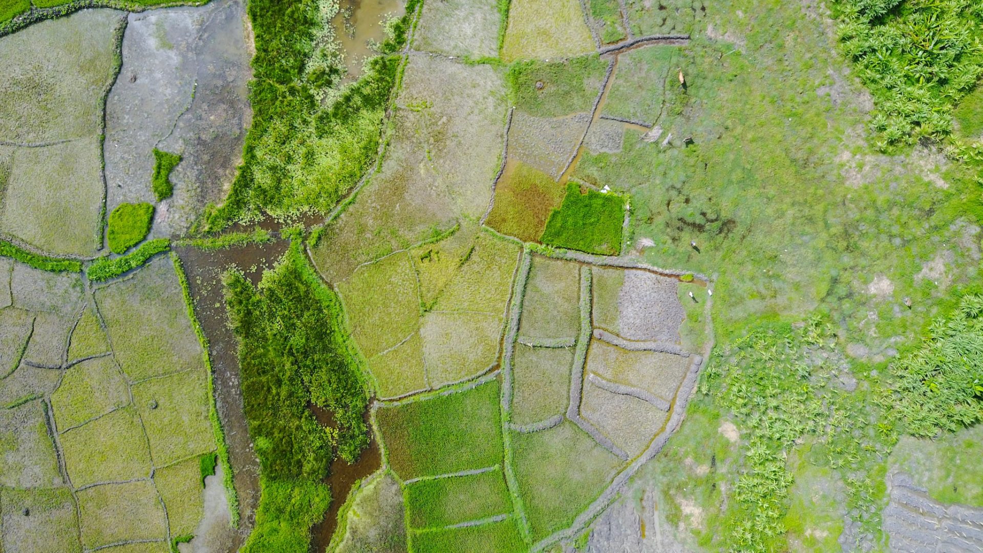
Whether you need to map beets or beehives, land boundaries or vineyard blight, it’s finally possible to do so both reliably and affordably. Eos Positioning Systems offers agricultural professionals worldwide the option to map their natural resources with submeter to centimeter-level accuracy. Our most affordable submeter GNSS receivers are more accurate than your smartphone or tablet, and they allow you to collect data directly into any mobile mapping application of your choice. With real-time positioning, you eliminate the need for post-processing without sacrificing accuracy. Our worldwide reseller network means you can purchase our Eos GNSS hardware from Alberta to Australia, and in between. Keep reading to learn why more agricultural professionals worldwide are turning to Eos GNSS solutions to meet their field needs.

Variety of Accuracy Options
Whether you need RTK or base station compatibility, support for all constellations and frequencies (including IRNSS, QZSS, Galileo HAS), or out-of-the-box 60cm accuracy, we’ve got a solution. Browse our products online, or contact us to learn more.
Flexibility in the Field
If your field workers are well-equipped, they’re more likely to be successful. That’s why our device-agnostic GNSS receivers can be mounted using a variety of field-gear setups.
Solutions for Canopy
Eos GNSS receivers provide real-time DGPS meter-level accuracy under canopy. But for those who need more, we also offer free solutions such as Eos Laser Mapping™ for ArcGIS®.
Explore Agriculture Successes
Browse our favorite case studies from agricultural teams making a difference at orchards, vineyards, and beyond.
GNSS Positions, Delivered Farm Fresh
Eos GNSS receivers are becoming more popular at orchards, vineyards, citrus farms, and similar sites. Repeatable submeter or centimeter accuracy means you can develop extremely precise fertilizer and pesticide prescriptions, track the health of each vine individually, and manage and monitor irrigation infrastructure. Moreover, if you need high-accuracy elevations, our centimeter-level GNSS models allow you to capture that elusive Z-value with extremely high confidence, allowing you to lay out drainage projects and more. Even in remote areas, accuracy down to a few centimeters is possible. Best of all, this location accuracy happens in real time via satellite. There’s no waiting for post-processing, file offloading and uploading, and other manual data-entry situations. Our GNSS positions are delivered farm fresh.

Professionals Using Eos GNSS Receivers in Agriculture
Featured Success Story

Vineyard Maps 500,000 Vines with Survey-Grade Accuracy
Learn how one premium-wine producing vineyard saved over a half-million dollars by choosing RTK cloud-based mapping over physical barcode IDs.
More InfoEven More Agriculture GNSS Case Studies
ADF Haiti Strengthens Local Farming Initiative with High-Accuracy Mapping
By replacing physical boundary markers with highly accurate digital records, ADF Haiti enabled the deployment of modern machine technologies that improve farmers’ yield while retaining trust.

Customer Spotlight: Summer Roberts Pairs Winemaking with GIS
Did you know GIS might be behind your glass of wine? Learn how Summer Roberts uses GNSS to map vineyard properties in California.

Veritas prescribes fertilizer with accurate zoning
Veritas provides fertilizer and seed prescriptions by using Arrow 100 for soil sampling and processing the results in ArcGIS Pro. See how they work!

Customer Spotlight: Josiah Thomas betters his community with GNSS
Customer Spotlight: Josiah Thomas uses Arrow Gold and ArcGIS Collector to mark farmland, through his nonprofit ADF Haiti, across the Haitian island.

New Zealand Org Tracks Orchards Re-levelling Success
A NZ agricultural research team uses Arrow 100 w/ Australian-New Zealand SBAS to get 30cm accuracy among 5m-tall trees. Their work may change orchard ops.

Customer Spotlight: Steve Laevens simplifies soil sampling
Steve Laevens amazed us with his passion for serving customers of Veritas Farm Management. See how Steve does soil sampling with Arrow 100 in our inaugural Customer Spotlight: Steve Laevens.
What Agriculture Professionals Say About Eos
Professionals in Action Mapping Agriculture Assets
Recommended Eos GNSS Solutions for Agriculture Mapping


