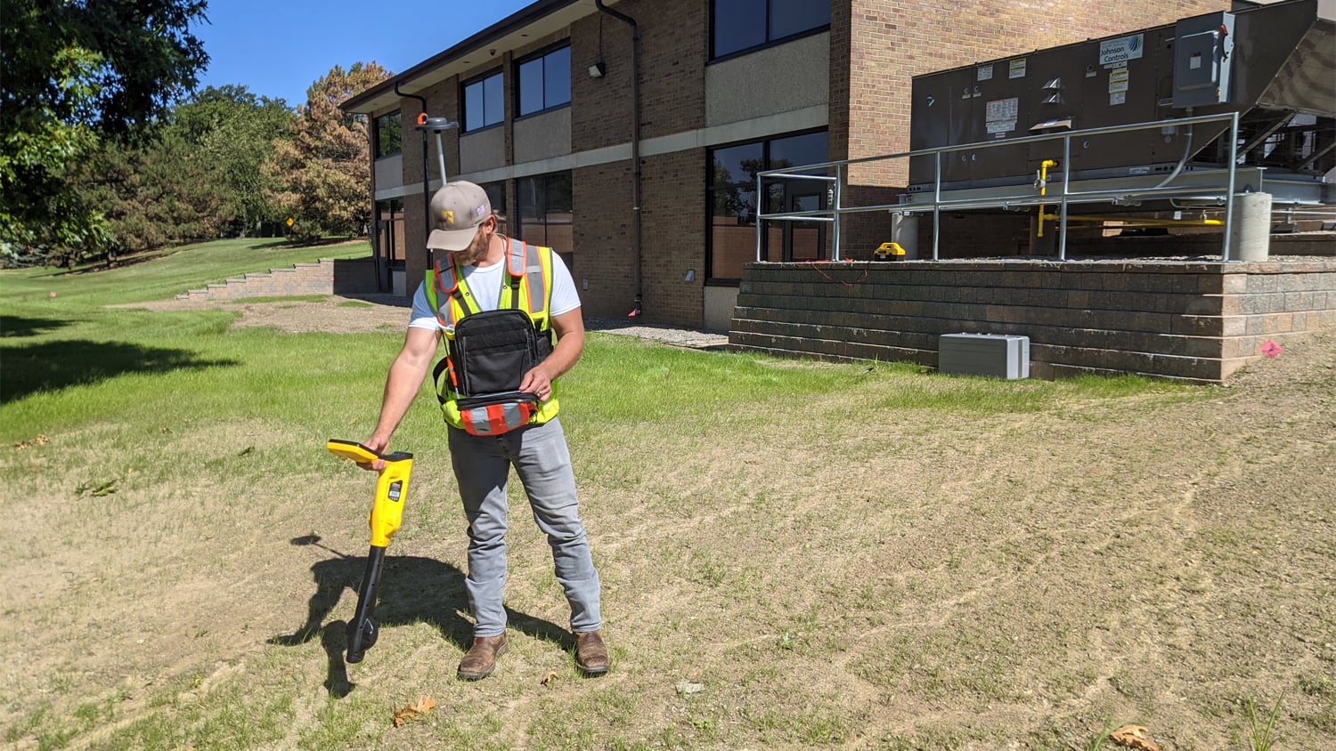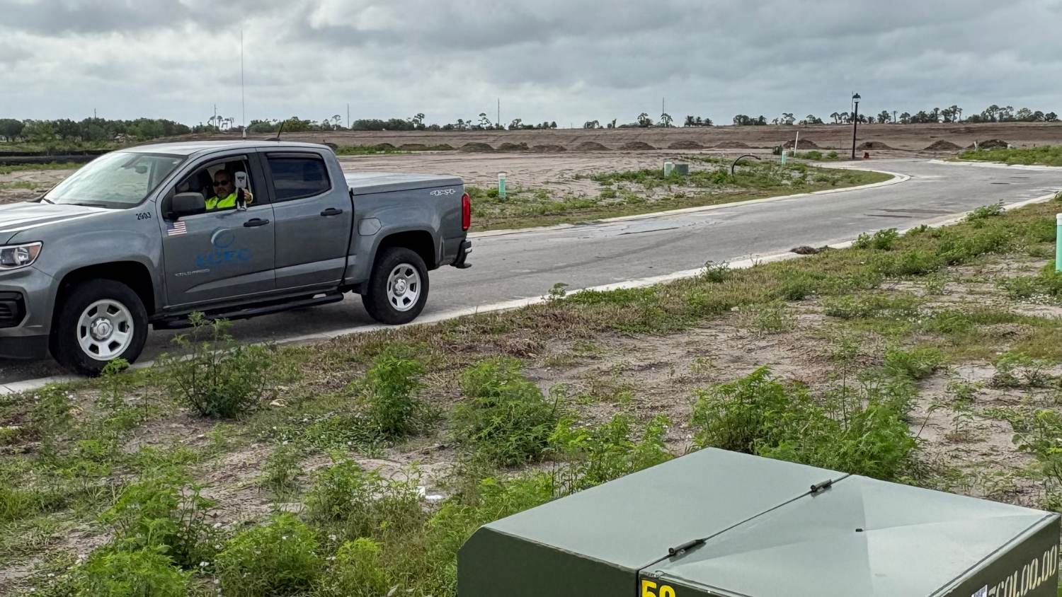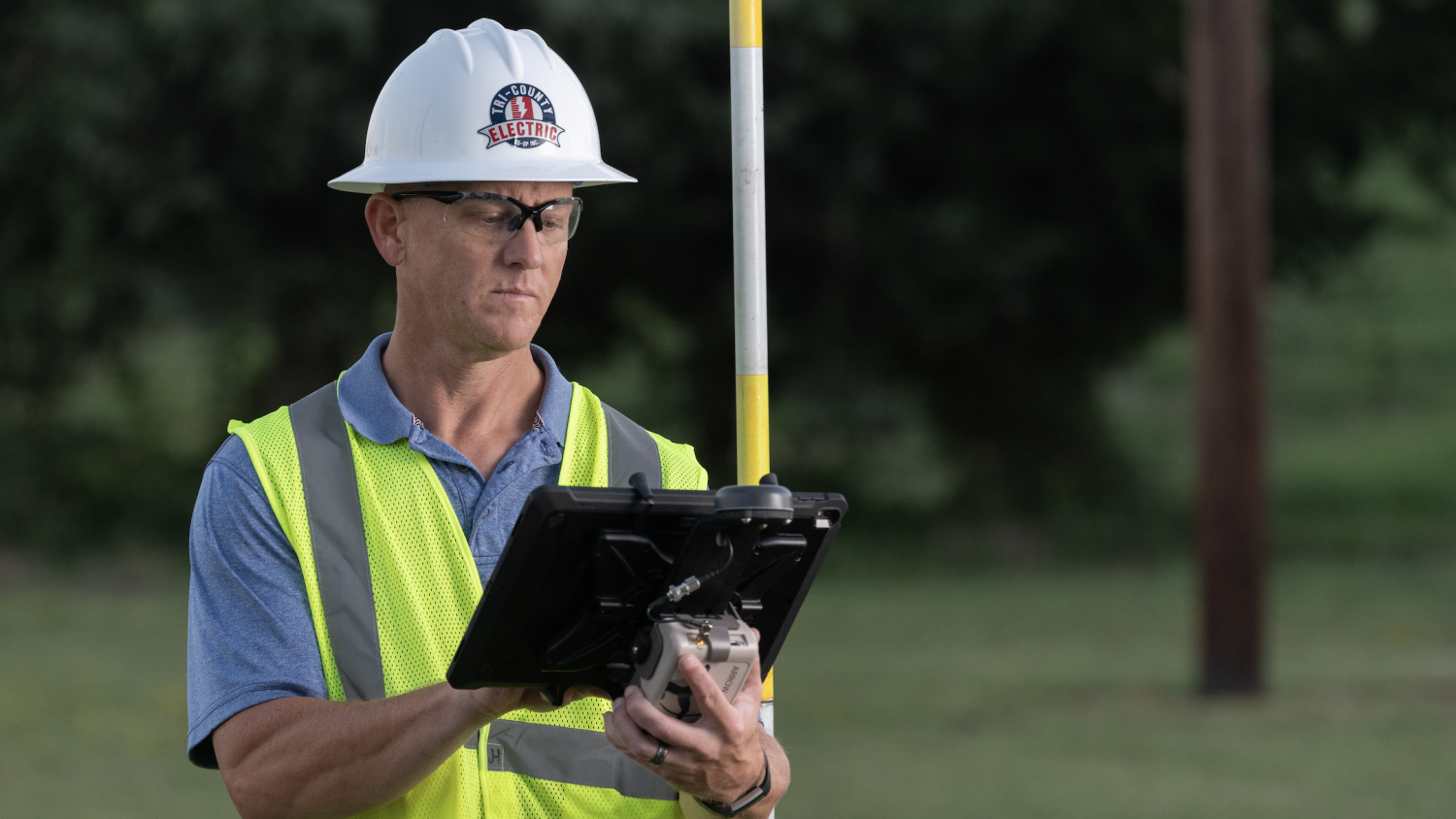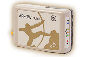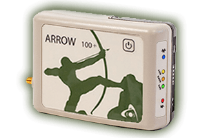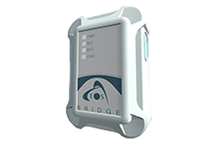
Eos Positioning Systems provides electric utilities, rural cooperatives, and related organizations with submeter- and centimeter-accurate GNSS receivers. Each GNSS receiver we manufacture is designed to provide high-accuracy positions to any mobile device and third-party data-collection app. Eos GNSS hardware is rugged, lightweight, and waterproof. It is designed to meet the most stringent needs of utility field crews in any type of challenging terrain, from heatwaves and construction sites to canopied and remote locations. Keep reading to learn more, or inquire today about purchasing.
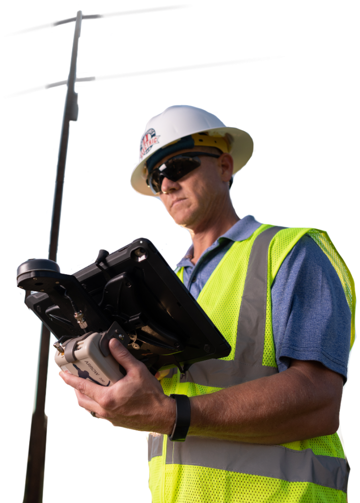
Survey-Grade Accuracy
Asset management starts with location. Our authorized GNSS experts can help you determine which GNSS receiver model meets your accuracy needs based on the availability of differential corrections services in your area.
Contact Our Team >
Rugged And Portable
Eos GNSS receivers are ruggedized to withstand even the toughest field environments. We also offer a variety of field-gear options, such as handheld brackets, surveying range poles, and more.
Explore Our GNSS Accessories >
Flexible and Future Proof
Freely swap between all mobile apps (third-party, custom built, etc.) and mobile devices (e.g., iOS®, Android, Windows). Browse from popular partner apps we recommend (like ArcGIS Field Maps, ArcGIS Survey123, and Futura FieldPro) in our partner app library. You can also inquire with our team to ensure an in-house app can support Eos GNSS receivers.
Explore Recommended Apps and Hardware >
Browse Electric Case Studies
Eos GNSS receivers are currently used worldwide for utility staking, asset management, mapping subsurface utilities, and to correct the locations of previously installed assets. Browse our selection of electric-utility mapping stories.
Browse Electric Utility Case Studies>
Easy-to-Use GNSS: Our Promise to Electric Professionals
In most cases, field crews with little to no prior GNSS experience can get up and go with an Eos GNSS receiver in as little as minutes. We are confident that you will have a terrific training experience with our local authorized representative network. In addition to this, Eos offers several free and on-demand training workshops to help ensure your success. Our technical support team is available for speedy, professional advice five days a week.
Eos is committed to adding value to your GNSS hardware investment. That’s why we’ve developed multiple no-cost solutions for utilities. This includes Eos Laser Mapping™ for ArcGIS, which allows you to capture assets without having to physically occupy them. It also includes Eos Locate™ for ArcGIS, our free underground-utility mapping solution.
Professionals Using Eos GNSS Technology to Map Electric Utilities




Featured Success Story
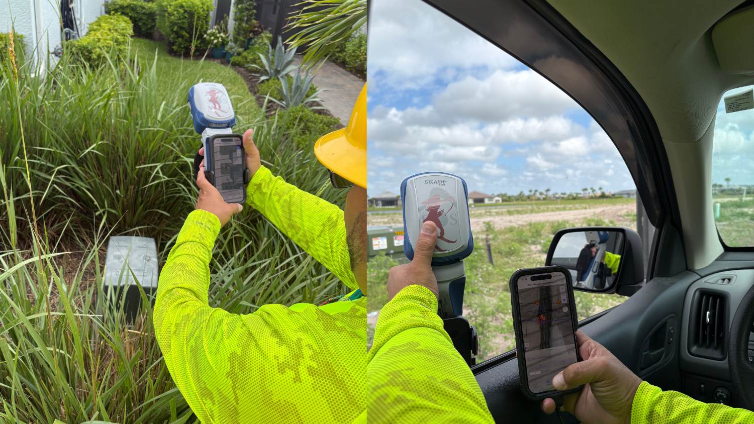
NISC and High‑Accuracy GNSS: The Workflow Upgrade Powering LCEC’s Growth
By integrating NISC mobile with the Skadi Smart Handle, Lee County Electric Cooperative improved mapping precision, sped restoration, and scaled operations during growth.
More InfoEven More Electric Utility GNSS Case Studies

David Johnson
Skadi Tilt Compensation and the Skadi Smart Handle have greatly improved our ability to accurately, safely, and quickly collect points and lines in areas that would have been impossible before. For example, sometimes I have a piece of equipment inside a fence that cannot be accessed, or there’s an asset under an overhang. This might have been impossible to map before. But now, if it’s within a few feet, I can reach a range pole over the asset and accurately locate it with Skadi Tilt Compensation.

Coopeguanacaste’s Digital Transformation: ArcGIS and Eos GNSS in Electric Asset Management at Costa Rica Utility
One Costa Rica electric utility transformed their distribution with ArcGIS and Eos GNSS. The cooperative’s 90,000+ members now benefit from precise asset management and modernized workflows.
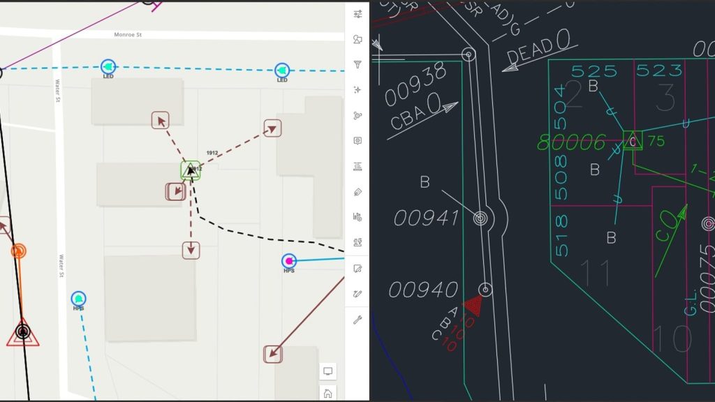
Wisconsin Municipal Electric Utility Simplifies Asset Management and Data Collection
By modernizing its GNSS technology, Sheboygan Falls Utilities overcame challenges posed by decades-old as-built data.
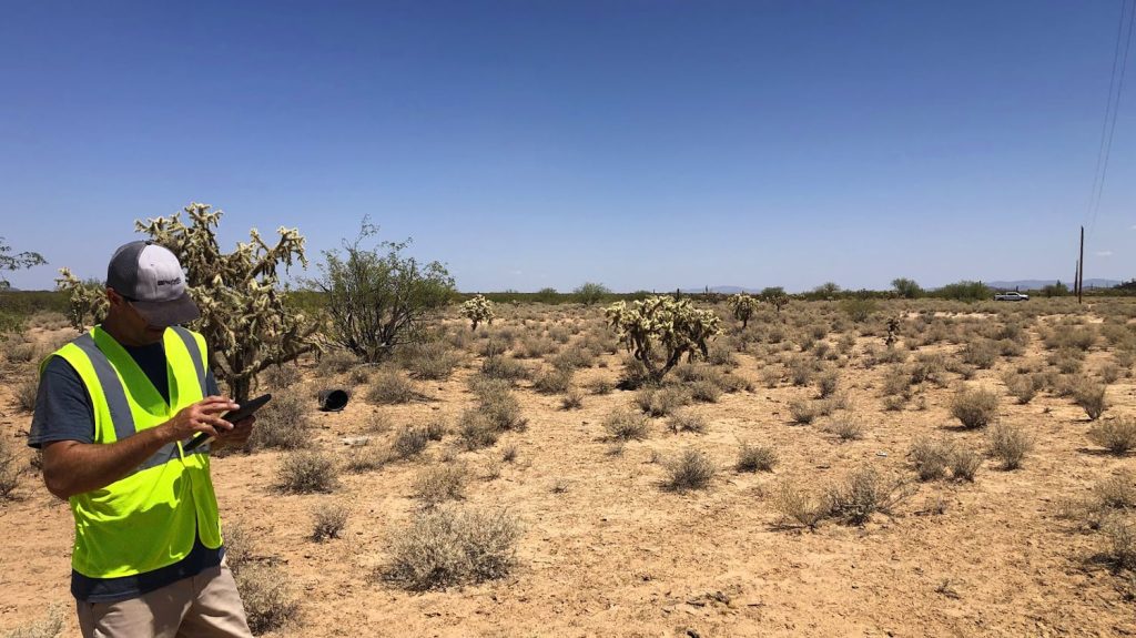
Tohono O’odham Utility Authority Transforms Utility Services with GIS
TOUA collected accurate, geospatial data for 710 miles of distribution conductors in Arizona heat. See how their records improved!
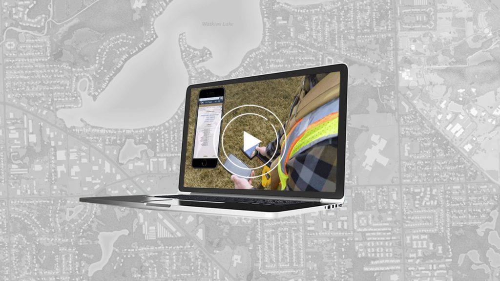
Bring Your Buried Assets to Life: Webinar with Esri Electric and OHM Advisors
In this webinar, Esri, OHM Advisors and Eos explore underground utility mapping with Eos Locate™ for ArcGIS®, including a utility case study.

Customer Spotlight: Zac Petix, Sherlock Holmes of GNSS & GIS
Zac Petix is VP of Geospatial Services at Palmetto Engineering. Learn how he uses high-accuracy GIS to help clients determine sound solutions.
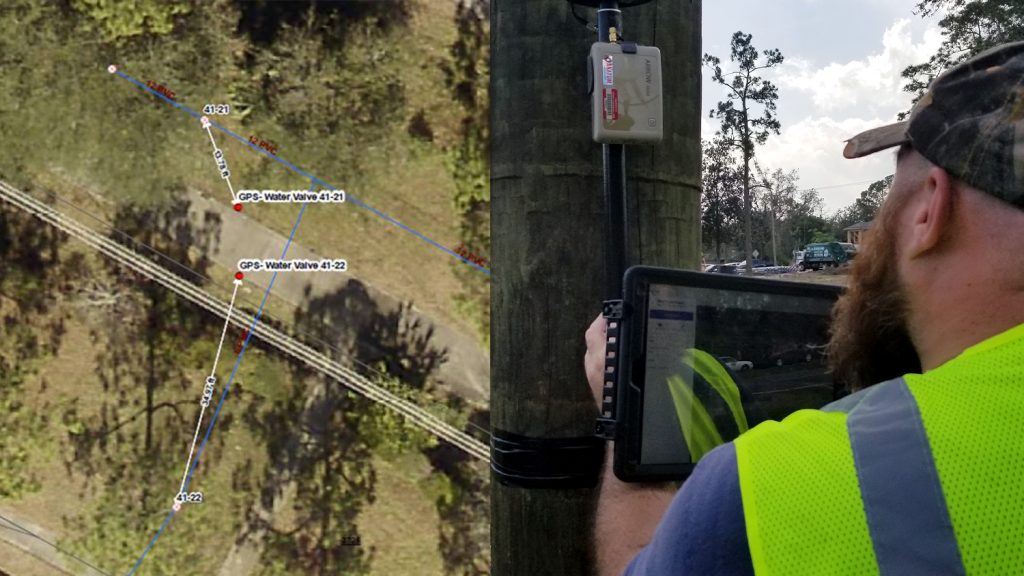
Florida Utility Creates First Digital Twin of Electric Assets
NSBU on the Florida coast needed a real-time, easy-to-use high-accuracy data collection system to replace paper redlining.
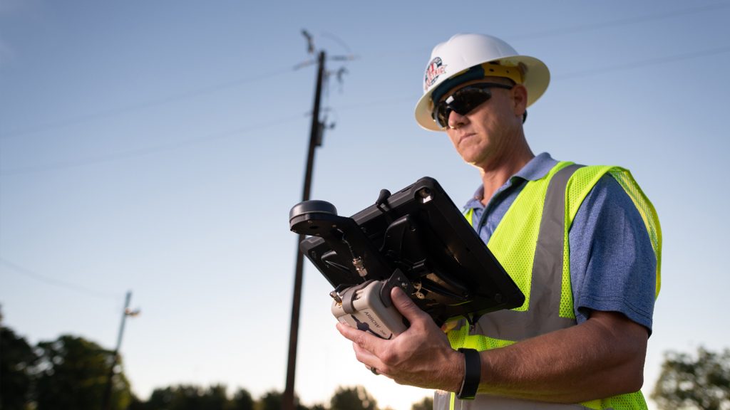
Texas Co-op Improves Customer Service with Futura and Arrow
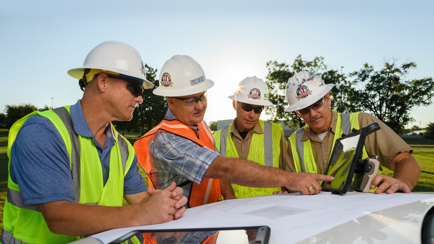
Real-time access to enterprise ArcGIS via Futura & FieldPro helped TCEC achieve 4-hour as-builting. They used Arrow Gold for field staking GNSS locations.
What Electric Utility Professionals Say About Eos
Electric Utility Professionals in Action with Eos GNSS