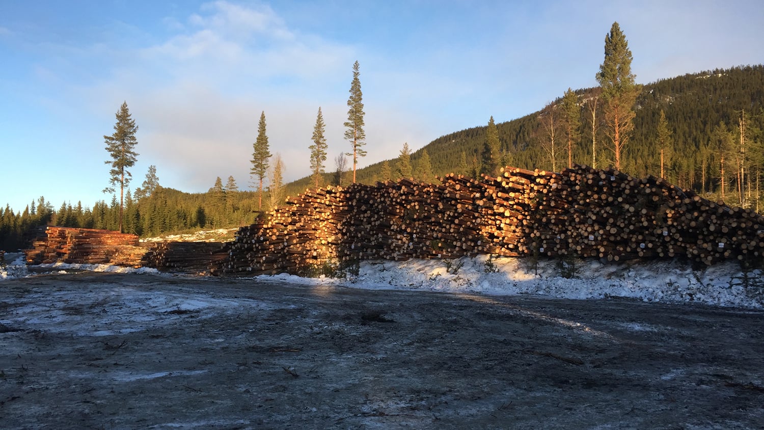
Do you need to create accurate harvest plans, determine property lines, or manage inventory and operations? Worldwide, forestry professionals choose GNSS receivers from Eos Positioning Systems because of our hardware’s rugged design, reliable accuracy, and ability to interface with nearly every app and mobile device in existence. Our GNSS receivers can be field mounted in a variety of setups, including on your feller buncher or any other vehicle, and they are fully compatible with any smartphone, tablet, or computer. Eos GNSS receivers support a variety of third-party apps, even your own or those you don’t see listed on our website. This means you can ensure the data you need is both accurate and able to integrate into any existing or desired workflow.

Variety of Accuracy Options
Whether you need support for RTK or SBAS, all constellations (e.g., GPS, GLONASS, Galileo, BeiDou, IRNSS, QZSS), and multiple frequencies (including Galileo E6), we’ve got a solution.
Flexibility in the Field
Eos GNSS receivers are built to withstand the forest. Mount your receiver and antenna to a vehicle, carry them in a back pack, or choose any other field configuration.
Solutions for Canopy
Eos GNSS receivers provide real-time DGPS meter-level accuracy under canopy. But for those who need more, we offer free solutions like Eos Laser Mapping™. So you can shoot points from afar and even daisy-chain your way deep into the forest.
Explore Forestry Successes
Browse our favorite case studies from forestry teams building timber-harvest plans, mapping property lines, managing tree inventories, and more.
Future-Proof Forestry GNSS Options
Managing natural resources requires a critical level of repeatable accuracy. Worldwide, our GNSS receivers have been chosen by private forestry companies, not-for-profit land management groups, and governmental organizations tasked with property management and delineation in everywhere from urban to remote areas. Why are more professionals choosing Eos for high-accuracy in forestry applications? Simply put, our high-accuracy GNSS receivers offer you an extremely accurate, affordable, and flexible choice. You will never be locked into a specific subscription, proprietary software, or bulky and expensive mobile device with Eos. Instead, you select the accuracy level you need, the field gear you want, and the differential correction sources you wish to use. Moreover, our worldwide reseller network is also available to guide you through which model will best fit your specific project needs. Contact our team today to get started.

Professionals Using Eos GNSS Receivers in Forestry Applications
Featured Success Story

Timber Operations Go Digital In Northern Canada
Tolko is always modernizing its mapping technology. They recently increased timber harvest by adopting Arrow 100® GNSS w/ GLONASS & Esri apps.
More InfoEven More Forestry GNSS Case Studies

Managing the Privatization of East Germany’s State-Owned Lands with ArcGIS Enterprise and High-Accuracy Mobile GIS
Since Germany reunited in 1990, the BVVG has been dedicated to privatizing lands formerly owned by East Germany. See how their mapping technology has evolved over decades.

Customer Spotlight: Theresa Maier Shares “GPS for GIS” Best Practices
Theresa Maier of Esri Deutschland partner GI Geoinformatik shares the endless opportunities of GPS for GIS clients.

Swedish Consultancy Maps Property Lines Under Canopy
Forestry is a major component of the Swedish economy. Landowners must agree on boundaries. See how Arrow 100 GNSS helps, even under dense canopy.
What Forestry Professionals Say About Eos
Professionals in Action Mapping Forestry Assets
Recommended Eos GNSS Solutions for Forestry Mapping


