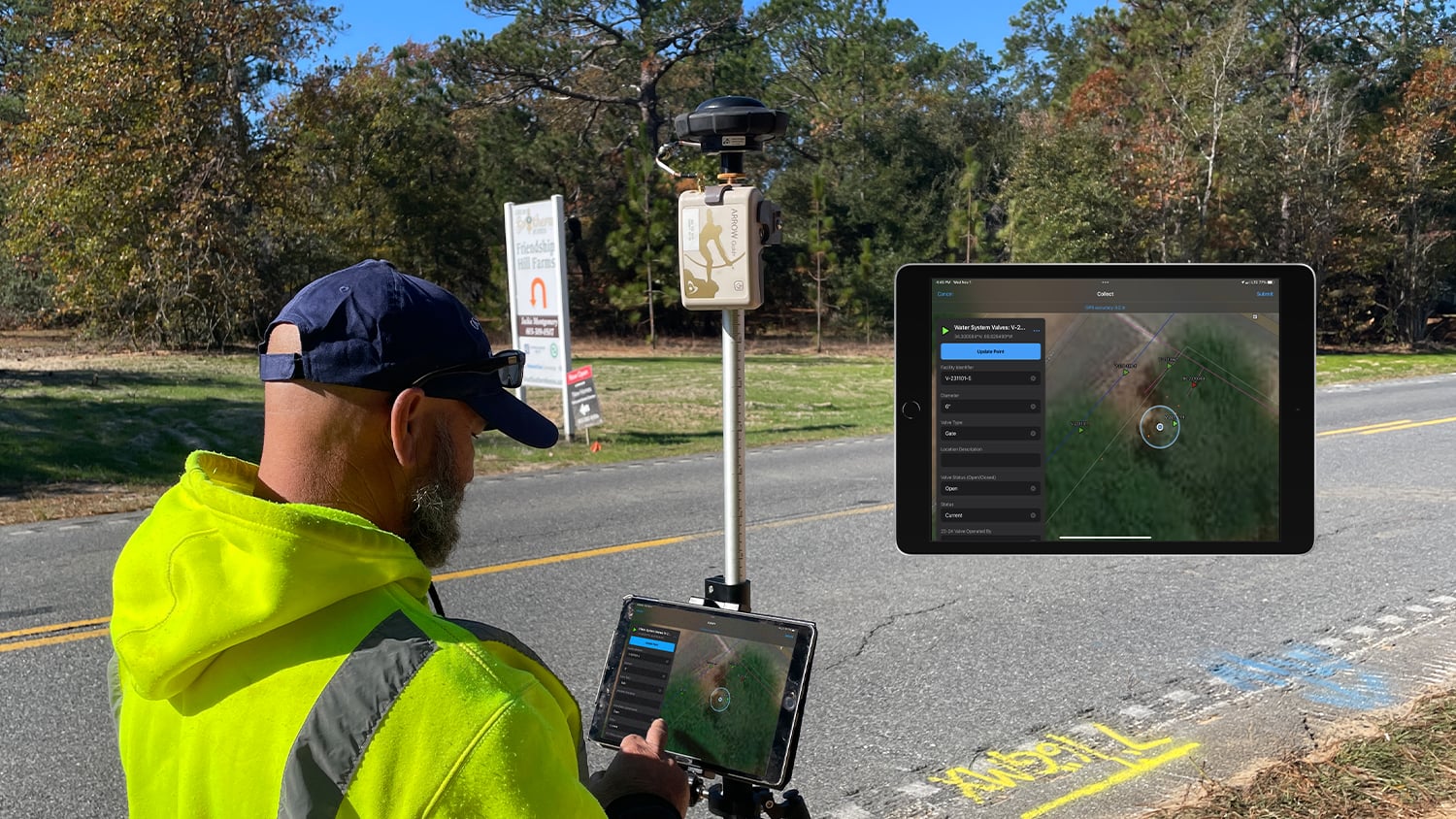
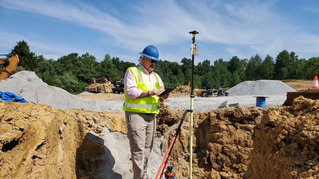
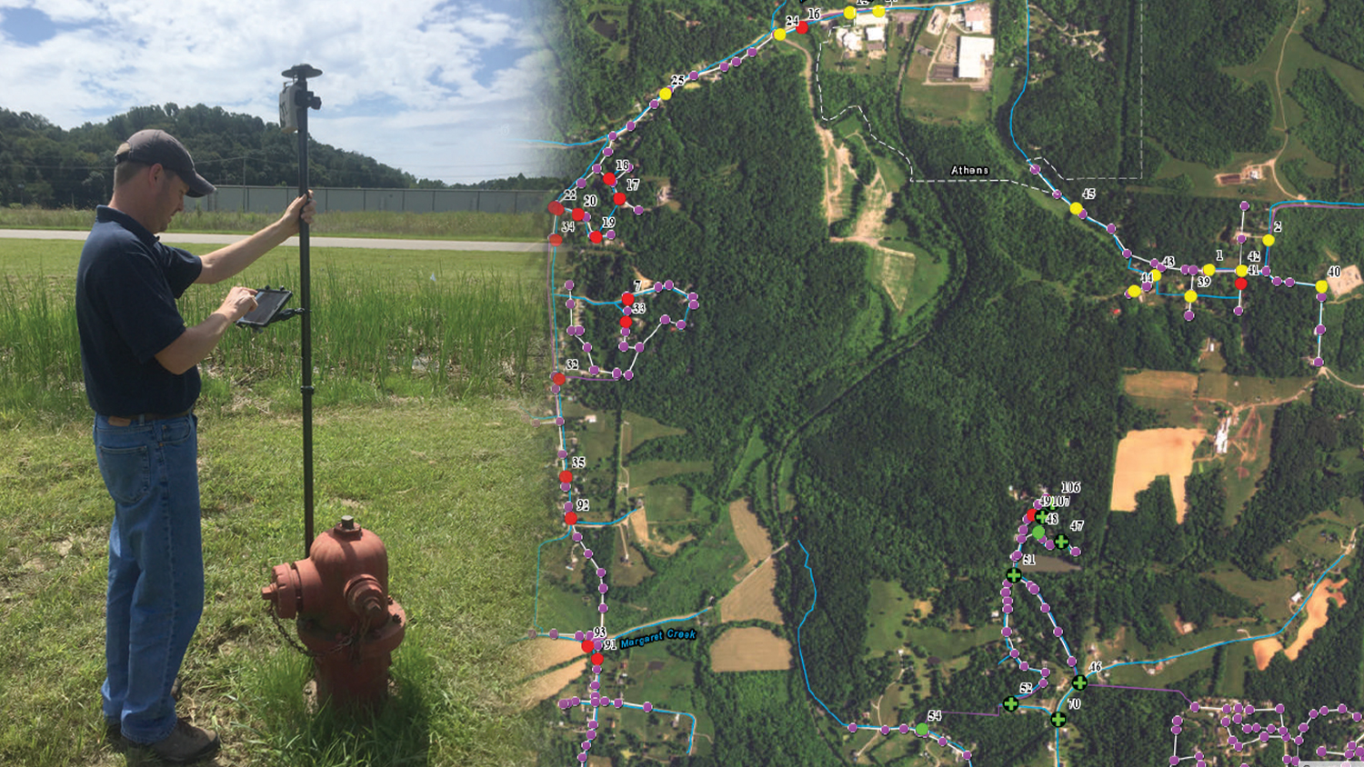
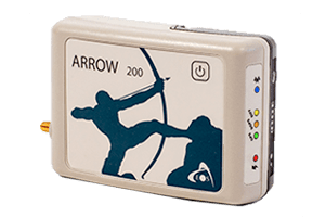
Industry Water - Mapping Manhole with Eos Arrow GNSS Rangepole Setup

GPS for Water, Wastewater, and Stormwater

Are you looking for the most accurate GPS system for mapping your water, wastewater and/or stormwater assets? Eos Positioning Systems provides accurate GPS and GNSS hardware and solutions for surveying your water assets. Whether you need submeter GNSS receivers for iPad®s, RTK rovers for centimeter-level accuracy field work, handheld GPS configurations, or similar needs, Eos can help.
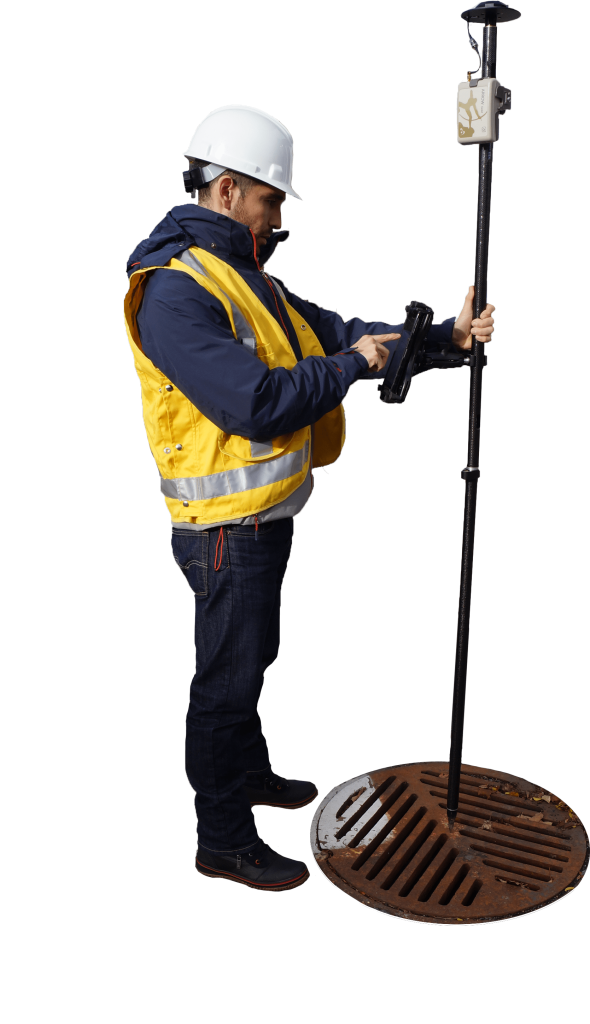
Eos Arrow Water Wastewater and Stormwater Utilities Cutout

Submeter and RTK Accuracy

Our team can help you determine which accuracy level is the best fit for your needs. Simply contact our team to be connected to someone familiar with accuracy options in your area.
Contact Our Team >

Flexible Field Configurations

Your crews need to be agile. Whether you prefer a handheld GNSS system, a range pole for survey-grade accuracy, or a wearable hands-free setup, we probably have the gear that meets your needs.
Explore Our GNSS Accessories >

A Proven Water Solution

Eos is proud of the worldwide customer base of water professionals who have chosen our hardware to meet their mapping needs. Explore success stories from some of our water customers.
Browse Water Success Stories >

Flexible and Future Proof

We know you have a variety of tablets and apps available for your data-collection needs. That’s why every Eos GNSS receiver is compatible with your device and with your app.
Explore Partner Apps and Hardware We Recommend >

Mapping Made Easy

Finally, there is an easy and affordable GPS system for water professionals. Whether you need to map utility assets in real time, manage wastewater infrastructure, or replace paper stormwater-inspection workflows, we have you covered. Our GNSS technology is regularly chosen by water professionals worldwide for ease-of-use, affordability, and reliability. You can depend on Eos as much as your communities depend on you.

Contact us today to discuss your work >

Professionals Using Eos GNSS to Map Water Utilities

Featured Water GNSS Success Story

Foggy Forest

Building Confidence at Cassatt Water with Valid Valve Locations

Cassatt Water prepares for the next generation of field workers by adopting ArcGIS with a survey-grade Arrow Gold+ GNSS receiver—moving away from mapbooks.

More Info
Even More Water GNSS Case Studies

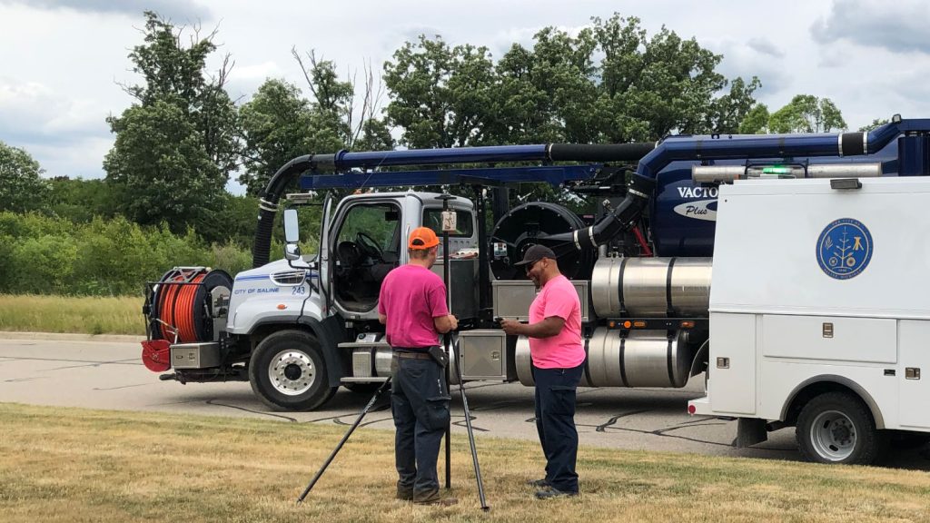
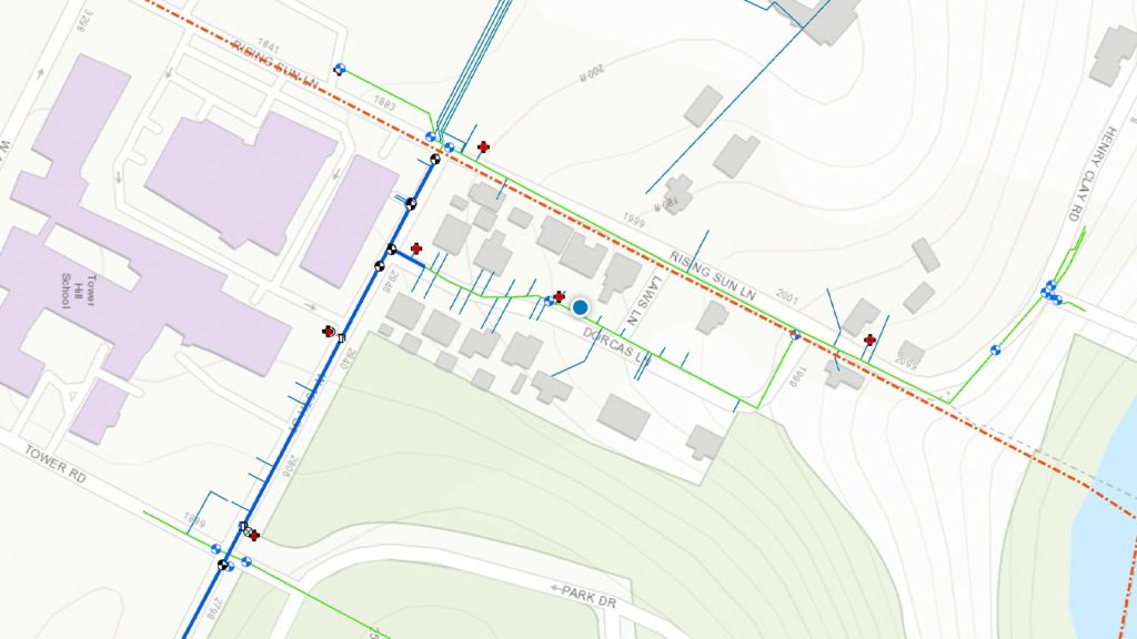
A Forward-Thinking Michigan Municipality Implements High-Accuracy Maps for Program Management

The City of Saline brought GIS in house, deployed high-accuracy GNSS receivers, and is working toward a streamlined longterm master plan.

Wilmington Achieves Real-Time As-Builts with ArcGIS Field Maps and Arrow GNSS Receivers

Previously it took 3rd-party contractors 1+ year to deliver Wilmington’s CAD as-builts. Now with ArcGIS Field Maps and Arrow GNSS, it’s near real time.
Customer Spotlight: Ronald Stith López Improves Water Systems using GIS Across Peru and Colombia

GIS is more than just a job to Ronald Stith Lopez. It’s a way to improve people’s lives. Learn how Ronald uses GNSS across Peru and Colombia.

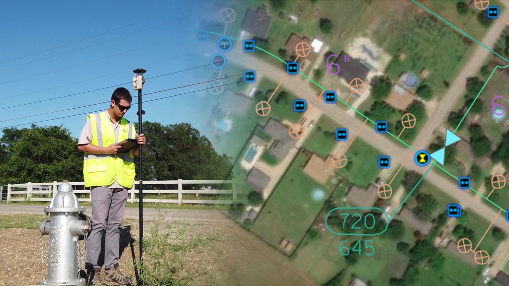
Mapping a Rural Texas Water System with High Accuracy

Rockett SUD streamlined field work and freed up office staff with a new rural water GNSS mapping solution that combines hardware and software from Eos and Esri.

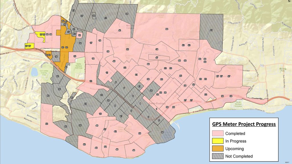
Santa Barbara Fights Drought by Upgrading Mobile GIS/GNSS

City of Santa Barbara is using an Arrow Gold® Base Station to map meters with centimeter accuracy, as city staff replace assets to respond to drought.

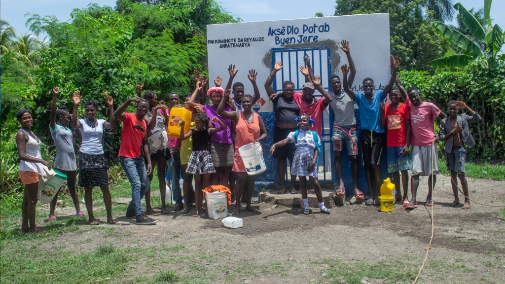
Haiti Outreach Improves Potable Water Access with Atlas

Haiti Outreach involves locals in its water mission. They use mWater to prioritize work and Arrow Gold with Atlas to model distribution systems in EPANET.

Kentucky Water District Cuts Meter Installation Costs in Half

Using Arrow Gold for rural water data collection helped a Kentucky utility reduce meter-installation cost by 50% on the Esri ArcGIS platform.

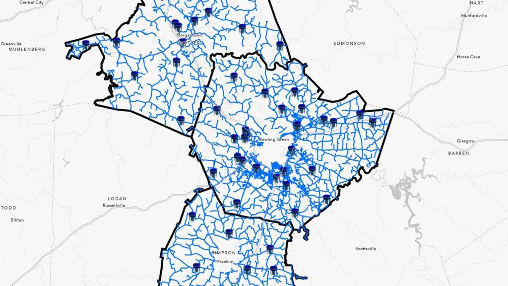
Warren County Water District Looks to “Elevate” Its Hydraulic Modeling with Survey-Grade Maps

Warren Water mapped wastewater assets with centimeter-level accuracy to help engineers with hydraulic modeling.

What Water Utility Professionals Say About Eos

Elisabetta DeGironimo

 “Well we have received the Arrow 200 unit. It is awesome! It’s the easiest to configure GPS receiver that I’ve used in my 20+ years of GPS data collection.”

Elisabetta DeGironimo

GIS Coordinator, Mohawk Valley Water Authority / NY, United States

Kenny Ratliff

“Compared to the collection equipment cost in 2013, the Arrow Gold comes in around half of that. The best part is – there is no accuracy loss.”

Kenny Ratliff

GIS Manager, Oldham County Water District / KY, United States

Travis Anderson

“I felt like we finally had the last piece to our puzzle. The days of waiting 30 seconds to get a point were over. Points now come as fast as you can tap the buttons.”

Travis Anderson

District Engineer, Le-Ax Water District / OH, United States

Nathan Ward

“It’s one thing to put points into a GIS. But you don’t want to have to go out and map them again. That’s where having the Arrow Gold+ is so helpful. It brings the confidence to know that our valves are now very accurate.”

Nathan Ward

Director of Engineering, Cassatt Water / SC, United States

Ronald Stith López

“If our RTK connection is lost, the Arrow Gold maintains our RTK corrections thanks to the SafeRTK feature.”

Ronald Stith López

Technical Cadastral Coordinator, Conhydra S.A. / Lima, Peru

Theresa Lancy

“Because the cost and effort involved was fairly minimal, it just made a lot more sense to go ahead and set up our own base station. We also thought there could be other groups in the city that would use this system.”

Theresa Lancy

Water Distribution Supervisor, City of Santa Barbara / CA, United States

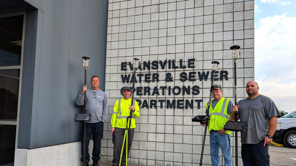
Water Utility Professionals In Action With Eos GNSS Receivers

Recommended Hardware and Software for Water Mapping

Upcoming Events

2024 Esri UC: Top 3 Ways to Engage with Eos Positioning Systems

GNSS for GIS users is making big leaps at the 2024 Esri UC. Find Eos at the event in the expo, at our hosted lunch, and during evening socials!

Find Eos at the 2024 Esri UC

Visit Eos at the 2024 Esri UC. Find our booth (#927) on the floorplan, attend our lunch session, and more. We've got exciting news this year.

Browse All Events >