Our success starts and ends with our customers. Each month, Eos feature new stories and customer spotlights to highlight how professionals around the world are taking advantage of submeter and centimeter locations in their mobile mapping workflows. Browse case studies, videos, customer spotlights and more to gain ideas on how external GNSS receivers can help transform work at your organization.
Filter items by the following categories
The Woodland Park Zoo Laser Mapping project enabled infrastructure (utility, gardens, etc.) basemaps with submeter accuracy for the first time in 120 years!
Eos and Esri go together in Montreal, where Arrow GNSS and Collector help fight an invasive species. Montreal is also special to Eos CTO Jean-Yves Lauture.
Denver's DDSI maps utilities in tough-to-reach areas with Eos Laser Mapping for ArcGIS Field Maps during construction design phases.
DDSI at Esri GeoConX explains how they accelerated field work, enabled real-time QA/QC and reduced accuracy error for utility field work with laser mapping.
Ports of Auckland uses Eos Arrow Gold RTK receiver with Esri Collector to verify port construction is being performed according to designs, down to the cm.
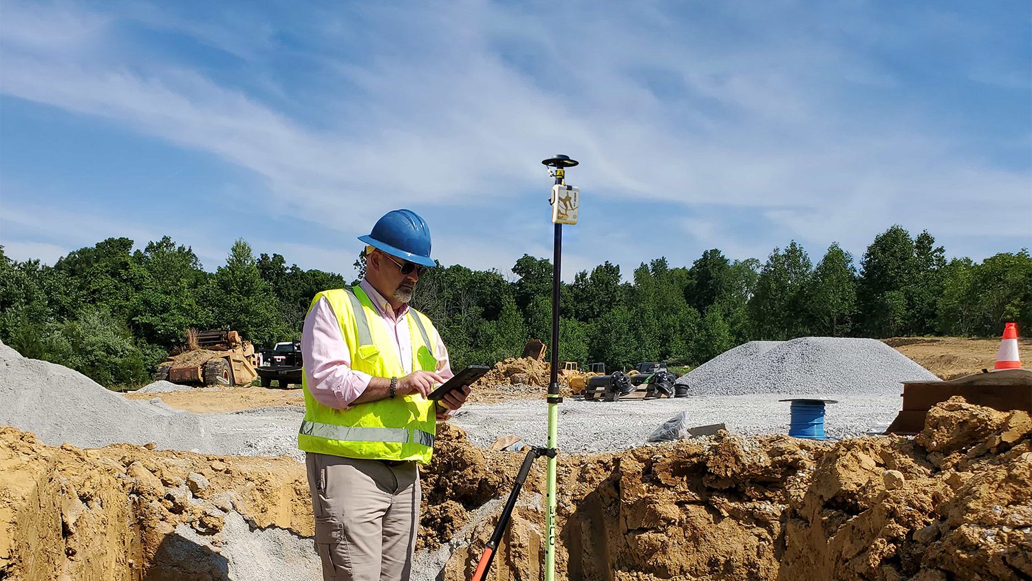
Real-time access to enterprise ArcGIS via Futura & FieldPro helped TCEC achieve 4-hour as-builting. They used Arrow Gold for field staking GNSS locations.
Niagara Region and GPS Precision get together to discuss how they put together an Arrow Gold RTK base station for pipe locates at Ontario water facilities.
Niagara Region used Arrow Gold for locates, deploying real-time GNSS data collection with their own RTK base station and Esri ArcGIS Collector.
Using Arrow 100 for valve exercising let Two Rivers Utilities add hundreds of valves to their GIS and prepare for tracing on the Esri Utility Network.
Anchorage kicked off a 5-year GIS master plan with a GPS project using Arrow 100 for asset acquisition with Esri's ArcGIS Collector and ArcGIS Enterprise.
A Texas consultancy provided 3D topo maps and digital elevation models to a park by using Arrow Gold for ground control points, DJI drones & GPS Tracker.
Urban Forestry with Eos Arrow 100 and Esri Collector: See how students used Collector and Eos Arrow GNSS to hold contractors accountable and save Halifax Regional Municipality over $270,000.