One of the best ways to learn about Arrow Series Bluetooth® GNSS receivers is to discover how customer are using them. For that reason, we’re recommending the following 2019 Esri User Conference sessions. Each features an Esri mobile app and the Eos Arrow for unique applications of high-accuracy field work. Browse the sessions below for abstracts, date/time/location, and links to add them to your Esri Events calendar.
Eos is a proud Silver Sponsor of the 2019 Esri User Conference.
Three 2019 Esri User Conference Sessions We Recommend:
Maximize the Value of High Volume and High Accuracy Data with GIS

Tuesday, July 9
Time: 2:30 PM – 3:30 PM
Room: SDCC – Room 27A
Industries and topics
Construction, Utilities, Water/Wastewater, 3D RTK Laser Mapping
Technology featured
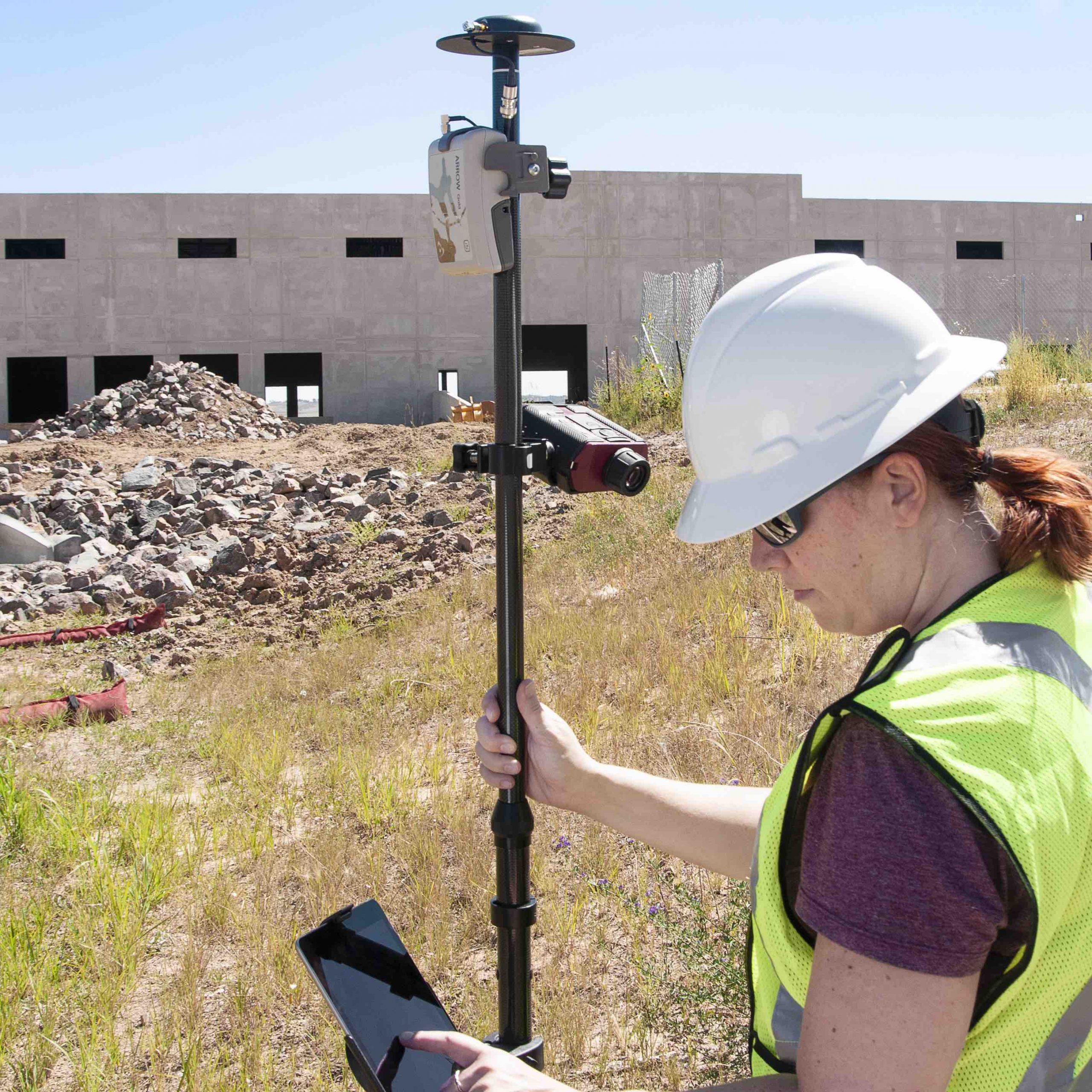
Arrow RTK GNSS receivers, Collector, LTI TruPulse 200x
More details
Abstract: “RTK GNSS Accuracy in Places Where RTK GNSS Doesn’t Work”
Eric Gakstatter, DMG
Why we recommend it
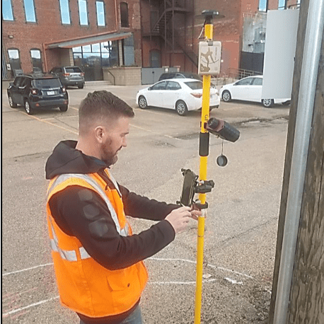
Laser offset/mapping lets anyone capture 3D RTK locations from afar on iPad®/iPhone® in Collector, even in GNSS-impaired environments (canopy, busy streets).
Mapping and Planning Telecommunications Networks

Thursday, July 11
Time: 8:30 am – 9:30 am
Room: SDCC – Room 29 B
Industries and topics
Telecommunications, Construction, Utilities
Technology featured
Eos Arrow Gold RTK GPS/GNSS receiver, ArcGIS Collector, LTI TruPulse Laser Rangefinder
More details
Abstract: “Capture Hard-to-Reach Assets with Esri’s Collector to Achieve Laser RTK MappingSDCC – Room 29 B“
Mike George, GISP, DDSI
Field data collection solutions continue evolving; picking the right hard/software combinations are essential to complete projects accurately & cost effectively. New technology includes Esri’s ArcGIS Collector app with an Eos Arrow Gold RTK GPS receiver & LTI TruPulse Laser Rangefinder; providing precise GPS offsets. New field data collection workflows are invaluable. Capture necessary features for wireless infrastructure design in areas where safety & GPS signal are concerns.
Why we recommend it
Collecting data in GNSS-impaired environments can be a huge source of savings. It can also improve employee safety. The single use case of no longer having to close down a busy intersection to capture the locations of hard-to-occupy assets is an example of both.
What’s New in High-Accuracy GPS for Esri Mobile Apps?

Thursday, July 11
Time: 11:30 am – 12:30 pm
Room: SDCC – Room 09
Industries and topics
Forestry, Utilities, AEC, Water, Transportation, Archaeology, Parks & Rec, GEOID Models
Technology featured
Arrow RTK GNSS receivers, Esri mobile apps, LTI TruPulse laser rangefinders
More details
Abstract: “What’s New in High-Accuracy GPS for Esri Mobile Apps – SIG”
Jeff Shaner, Esri; Jean-Yves Lauture, Eos Positioning Systems; Eric Gakstatter, DMG
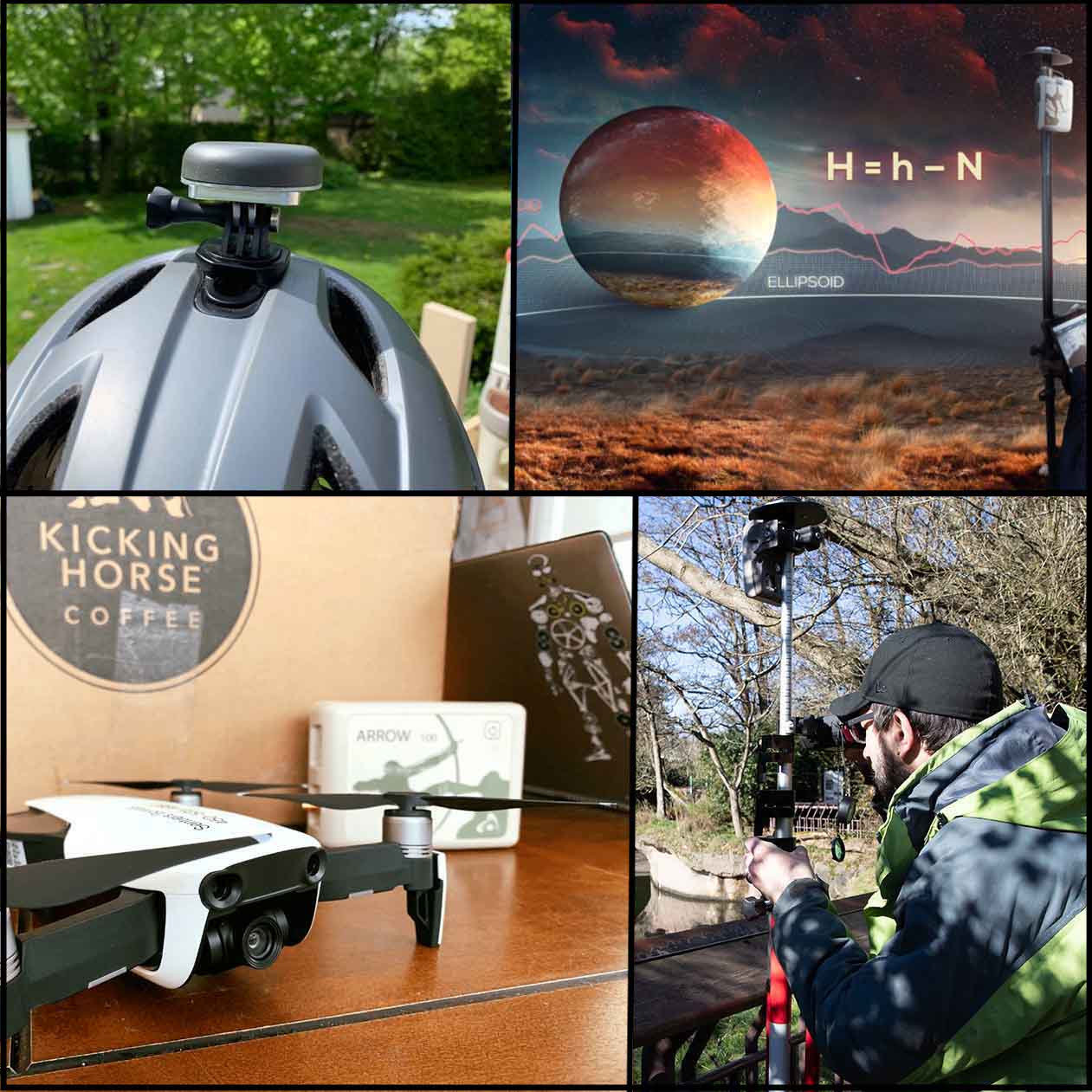
Join Eos for complimentary hosted lunch and discussion of advancements in GNSS mobile asset management, including 3D survey-grade locations, real-time geoid model support, and more.
Why we recommend it
Boxed lunches will be provided as Eos discusses the past year of advancements in high-accuracy GPS/GNSS technology for Esri workflows.

