Periodically, Eos Positioning Systems releases blog posts. These inspiring articles capture some of our most exciting moments as a company, but they don’t fit into the technical content of our Knowledge Base. Browse these articles below, and if something inspires you, please let us know or share it!
December 18, 2024
To celebrate the end of the year, explore a recap of the top 10 most-read posts from Eos Positioning Systems in 2023.
July 30, 2024
Learn about the latest developments in GNSS for GIS users, including support for Windows 11, MDM, Galileo HAS, and much more in this recorded presentation from Eos and Esri.
December 20, 2023
To celebrate the end of the year, explore a recap of the top 10 most-read posts from Eos Positioning Systems in 2023.
December 12, 2023
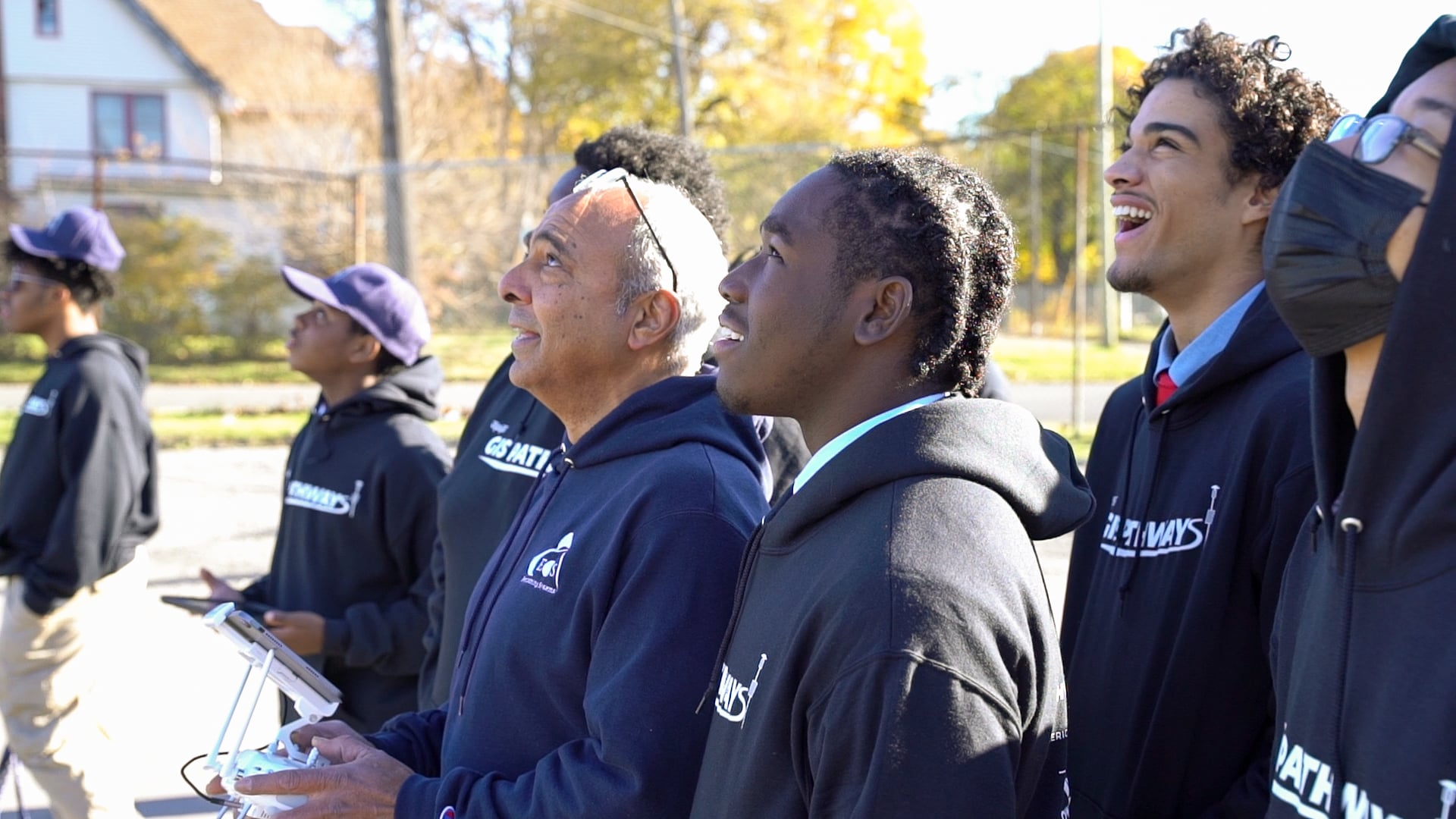
DECEMBER 12, 2023 – Eos Positioning Systems recently partnered with Frederick Douglass Academy (FDA), an all-male Detroit public high school, for their GIS Pathways program—a dual-enrollment initiative with Eastern Michigan University (EMU).
July 28, 2023
Learn about the latest developments in GNSS for GIS users, including support for Windows 11, MDM, Galileo HAS, and much more in this recorded presentation from Eos and Esri.
June 8, 2023
Discover how the exciting new Galileo High-Accuracy Service works, today's results, and what to expect in the future.
December 20, 2022
To celebrate the end of the year, explore a recap of the top 10 most-read posts from Eos Positioning Systems in 2022.
December 19, 2021
To celebrate the end of 2021, here are the top 10, most-read posts about high-accuracy mapping from Eos Positioning Systems in 2021.
June 29, 2021
The Arrow Gold+™ and Arrow 100+™ "plus model" GNSS receivers are closely related to their sister "standard model" receivers (Arrow Gold®, Arrow 100®). This FAQ guide explains key differences.
December 13, 2020
To celebrate the end of 2020, here are the top 20, most-read posts about high-accuracy mapping from Eos Positioning Systems in 2020.
April 23, 2020
Are you staying at home? Teach your kids with this Eos GNSS Coloring Book: "What is GNSS? Satellites that tell us where they are."
December 12, 2019
From laser mapping and real-time orthometric height conversions (aka "elevation" and "Z value") right in your Esri apps, to 10 positions per second in QuickCapture and more! Here are your favorite posts of 2019.

