Synopsis:
When it comes to mapping assets, utilities are all too familiar with having to choose between affordability and accuracy. Say hello to a new normal.
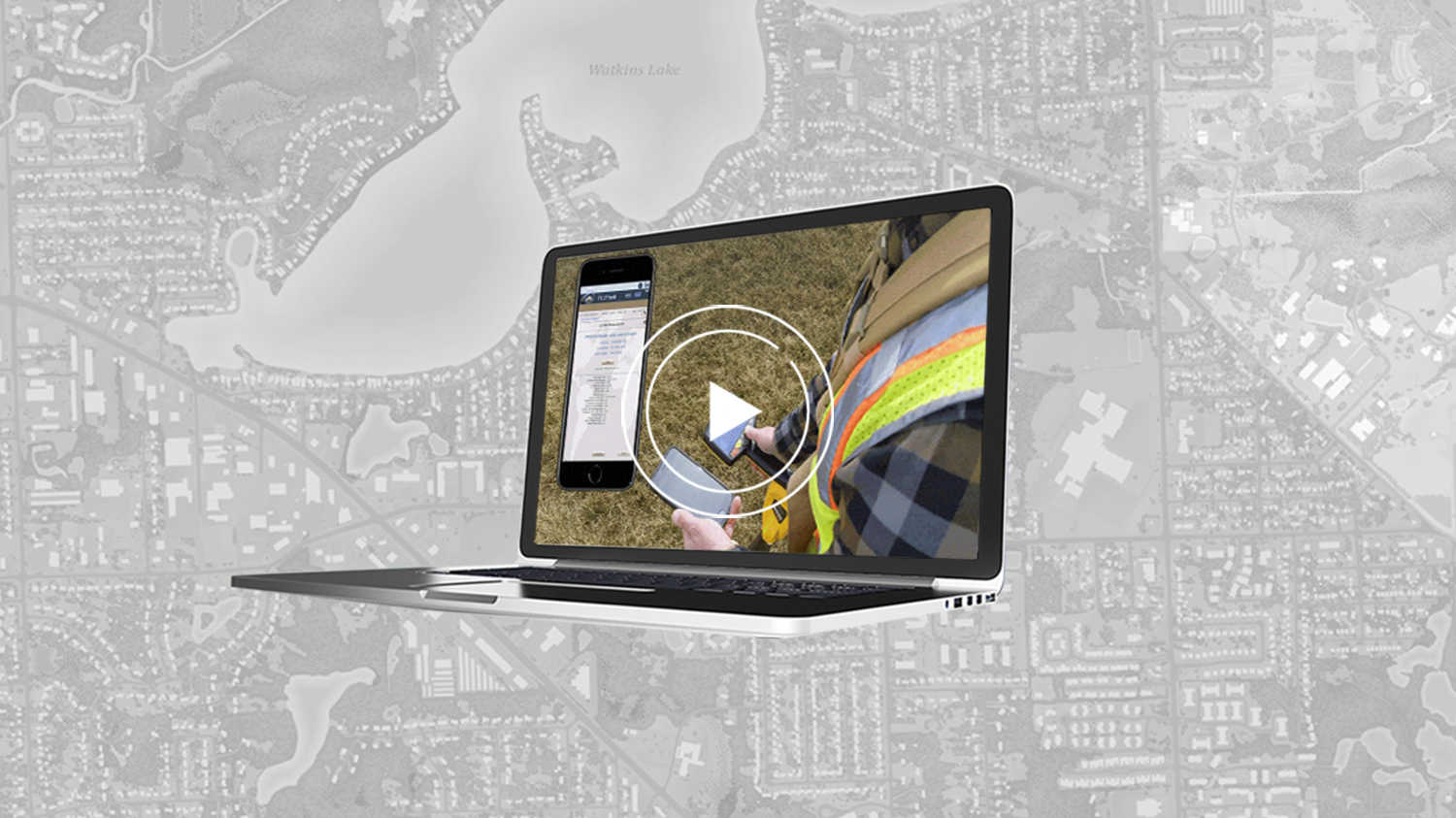
In this webinar, experts from Esri, Eos Positioning Systems, and OHM Advisors will introduce the modern and innovative mobile mapping solutions that are helping utilities drastically cut their labor and time spent in the field — without sacrificing accuracy and confidence. Discover how historic Oakland County, Michigan, finally mapped decades-old electric, gas, water, telecommunications, and other assets with 3D survey-grade accuracy in half the time budgeted. You’ll also get a glimpse of the new underground-mapping solution, Eos Locate™ for ArcGIS®, in action. We’ll explore how Eos Locate™ was used to accurately map the county’s underground utilities with centimeter-level accuracy, for the first time in the county’s history. Speakers from all three companies will be available at the end of the webinar to take questions about the technologies discussed and best practices:
- ArcGIS Field Maps
- Eos Locate™ for ArcGIS (underground mobile mapping solution)
- Eos Arrow Gold® RTK GNSS receiver
- Bring-Your-Own-Device mobile trends (e.g., iPad®, Android)
Originally recorded on March 31, 2021, 10:00 a.m.–11:00a.m. (PST)
