An hour’s drive north of Milwaukee, Wisconsin, Sheboygan Falls Utilities (SFU) provides electric service to approximately 4,100 residential, 52 large power, and 495 commercial customers. In 2021, facing the challenges posed by decades-old as-built data, the SFU field team decided to put technology first to serve the community better. By modernizing its entire process, the utility brought mapping in-house and streamlined information sharing from the field to the office; improved customer care through faster and more accurate responses; and created more secure, real-time information sharing.
Video Recap:
Editor’s note: The written story was originally published by Esri Electric in January 2023. It is republished here with permission. View the original article here.
The Challenge
Previously, SFU maintained information about the city’s primary and secondary networks in a CAD file and printed map books. At the end of each year, handwritten as-builts and work orders were gathered and sent to a third-party contractor. The contractor updated the CAD file, which was then printed in map books and given to line workers.
“So any time a wire was laid [during the year], we had to remember a lot of this stuff,” said Justin Kiecker, line worker, Sheboygan Falls Utilities.
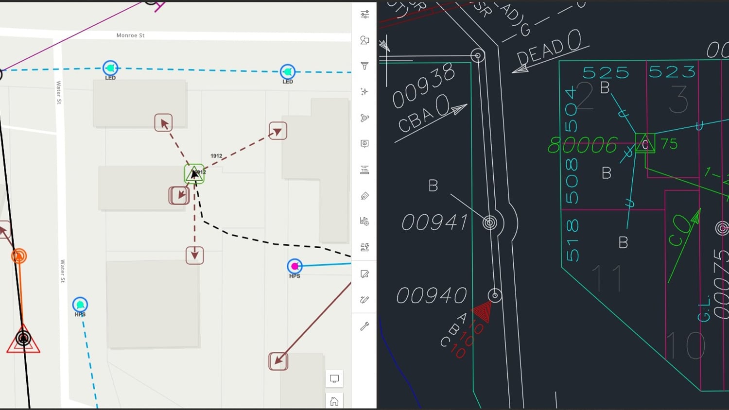
Information on the printed maps could seem simultaneously cluttered and lacking. Although the CAD map provided an overview, its simplified graphics—including straight lines representing underground wires that often are curved in real life—were unreliable. “The CAD gave us a general idea of where the lines and assets were, but it wasn’t the most accurate or up-to-date,” SFU field supervisor Joel Schoneman said.
Following customer service calls such as outage reports or requests for an easement, the field team needed to inspect the network directly on-site. “Obviously, you can’t see assets buried in the ground, so we relied heavily on the CAD maps for that,” Kiecker said. “But if your maps are inaccurate or not updated, you start questioning their validity.” In 2021, SFU decided it was time to upgrade to digital maps.
“We knew we needed to better document our system,” Schoneman said. “We decided GIS [geographic information system technology] was the route we needed to go.”
The Solution
SFU contacted OpenPoint, a partner in the Esri Partner Network. OpenPoint visited SFU, met with the team members to discuss their goals for the new system, and recommended Esri’s ArcGIS® Online.
ArcGIS Online could meet most of SFU’s requirements. It offered live secure web maps on any device. Digital maps could also show or hide information based on the user’s needs. Using Esri’s mobile app ArcGIS Field Maps, the line workers could also map the network themselves digitally and have their newly collected data available almost immediately for use. “Everything was very straightforward,” Schoneman said.
SFU wanted a minimum accuracy of three feet for its primary network so that assets could be quickly located in case of emergency events. OpenPoint recommended the Arrow 100® Global Navigation Satellite System (GNSS) receiver, made by Esri partner Eos Positioning Systems. The Arrow 100 supported ArcGIS Field Maps on iOS, and it used Bluetooth® technology to stream locations, with an average accuracy of 30–60 centimeters, to ArcGIS Field Maps in real time. OpenPoint also configured accuracy thresholds to capture points only when they fell within the desired accuracy. This process ensured submeter accuracy throughout the mapping of the network.

SFU also used OpenPoint’s field inventory module to capture construction units for poles and transformers. Whenever a mobile worker conducted a construction unit inventory, a hyperlink from within a Field Maps attribute would launch the OpenPoint web app. The OpenPoint web app allows viewing and editing of a complete inventory of materials used to construct each asset—fiberglass basements, down guy wires, and more. As a result, GIS functions integrate with materials inventory, cost capture, and accounting software.
ArcGIS stores the asset details. For example, if an asset requires an urgent repair, the mobile worker can launch OpenPoint from Field Maps and view all associated construction units. This streamlines communication regarding the required materials and enables crews to arrive on the scene with everything needed to repair the asset.
“With this setup, we could see that this pole had an eight-foot crossarm, a fiberglass basement, two down guys, and an attached pedestal, for instance,” Kiecker said. “This immediately tells me the list of repair parts the truck needs to bring from the shop, so someone can gather these items and quickly replace them.”

SFU located assets with a line locator to map underground circuits, and a mobile worker spray-painted the ground at regular intervals. A second worker followed to map the painted points in Field Maps and digitize the lines from these points into ArcGIS.

Results
It’s hard to put a value on what we are doing. There’s the annual outsourcing cost we’re saving, of course, but the bigger value is knowing where things are. It’s been a relief knowing that our system is now accurate.
In just over one year, SFU mapped its primary and secondary networks, including 10,000 nonlinear assets (5,300 electric meters, 1,400 overhead and underground transformers, 1,700 primary and secondary poles, and 700 primary and secondary junction boxes) and about 8,000 linear assets (overhead and underground primary, secondary, and service and streetlight conductors and conduits across more than 100 miles of line). The utility performed the mapping in-house with high accuracy and detailed network information. Staff have now moved on to mapping the city’s streetlights.
“It’s hard to put a value on what we are doing,” Schoneman said. “There’s the annual outsourcing cost we’re saving, of course, but the bigger value is knowing where things are. It’s been a relief knowing that our system is now accurate.”

Relief also comes from the general awareness of all primary and secondary facilities as well as in-house control over modifying the records.
“As we’re putting new services and primary [assets] in the ground, we’re updating the network ourselves,” Kiecker said. “So the turnaround to having updated maps is considerably lower. It’s a night-and-day difference.”
Today, Schoneman and the four SFU line workers have Field Maps installed on their utility iPads and personal phones. Everyone can look it up on their phone if a customer reports an outage after office hours. Remotely, staff can assess the situation and see both the transformers feeding the affected part of the system and the location of the next upstream section. Previously, they could not know these details until they physically got to the site.
“When there’s an outage, your mind goes a little wild.” Kiecker said. “So if you can click a button; choose your asset; and suddenly have photos, phasing information, information on how many secondaries are leading into it, the number of loads out of this transformer, and so on, you don’t have to question a whole lot. Whereas before, you’d have to open these devices in the field, now we’ve got an 80–90 percent idea of what’s wrong just by looking at a map and some of the pictures—all without having gotten up in the middle of the night and putting our boots on yet.”
According to Kiecker, digitizing phasing details was also a huge relief. In the past, the team had to trace a circuit manually to know its phasing. Instead, phasing information was captured, tagged, and symbolized during the initial field data capture. As a result, the information is now fully available on the map and is useful when balancing new loads and performing routine work. Although field verification is still a requirement, having a reliable idea from the start creates workflow-altering transparency.
“Now you can click on any wire from that primary overhead [asset], and you know what the current flow is,” Kiecker said. “Whatever it says on the map, that’s what it is. It’s one thing to have your phasing and know it, but it’s another to have it always accurately marked on the mobile map. The more information we get on these maps, the more efficiency goes up, in my eyes.”
Looking Ahead
The field team has started to share its data securely with external entities; for example, the team shares the OpenPoint inventories with city hall for budgetary reasons. The team also shares read-only maps with telecommunications providers. “A read-only map lets them see where they might use some of our poles as attachment points,” Schoneman said. “After that, our job is pretty much done unless they have questions.”
OpenPoint has also set up an independent geodatabase for the Sheboygan Falls Public Works Department (PWD) to manage the city’s water network. Although the PWD and SFU databases are kept separate, the teams have shared hardware and best practices.
By the end of 2022, SFU plans to have all work orders managed within ArcGIS and OpenPoint, further eliminating paper handling in the field.
“To me, this is a huge deal,” Kiecker said. “You talk to any other line worker that works anywhere else, and without this kind of map, they struggle. But ours are right on our phones now. We can tap our app, hit any GPS-collected data point, and it brings up everything we want to see. So it’s adding day by day to our efficiency.”
You May Also Like One of These Posts

Florida Utility Creates First Digital Twin of Electric Assets
NSBU on the Florida coast needed a real-time, easy-to-use high-accuracy data collection system to replace paper redlining.
Customer Spotlight: Zack Henry Helps Customers Succeed with High-Accuracy GIS
Zack Henry uses an Arrow Gold® with ArcGIS Field Maps for efficient data collection for utilities. When his clients succeed, Zack succeeds — and he brings that attitude to all his work.
