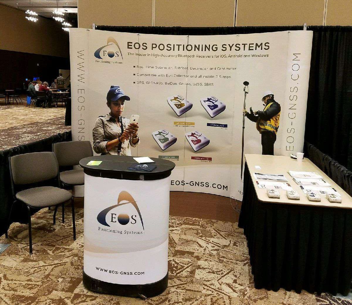

April 5-6. 27th Annual Virginia GIS Conference, Blacksburg, VA, USA. Visit us at our booth.
27th Annual Virginia GIS Conference
April 5 – 6, 2017
The Inn at Virginia Tech and Skelton Conference Center
Presentation slides from the conference are now available for download.
Our 2017 Conference Sponsors


About VAMLIS
During 1989, a group of individuals from throughout Virginia began meeting to lay the foundation for a statewide, nonprofit membership association. This group, realizing the need to bring together the people and organizations who are involved and concerned with the mapping sciences (including cartography, geographic and land information systems, surveying, engineering, geography, photogrammetry and land records management), prepared a Constitution and Bylaws to form the Virginia Association for Mapping and Land Information Systems. This document was approved in January 1990 with the following objectives:
- To encourage a high standard of professionalism as a means to more effectively serve the public.
- To promote the free exchange of knowledge and information among individuals and organizations interested in mapping and land information systems.
- To promote educational, instructional, communication and legislative programs to further advance mapping and land/geographic information systems.
- To provide advice and assistance to federal, state, local agencies and private and institutional organizations in the areas of mapping and land/geographic information systems.
- To cooperate with and work with allied associations at the national, state and local levels in developing and promoting classification, standards, communications programs, education programs and legislative programs.
- To encourage and offer membership to any individual or organization interested in mapping and land/geographic information systems.
- To encourage participation in association activities and non-association activities involved in mapping and land/geographic information systems.
- To become the primary association within the Commonwealth of Virginia for mapping and land/geographic information systems.
On July 3, 1990 the Virginia State Corporation Commission certified the Virginia Association for Mapping and Land Information Systems (VAMLIS) as a corporation licensed to transact business in the Commonwealth of Virginia.