How can you get GPS sub-meter corrections for free?
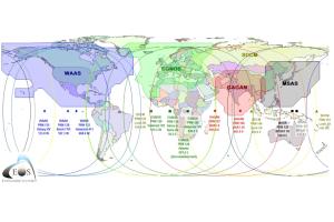
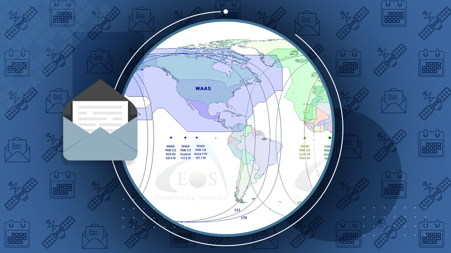
SBAS (Satellite-Based Augmentation System) around the world provide free, real-time sub-meter corrections for high-performance GNSS receivers. SBAS is a fantastic, free public service that GIS professionals around the world can use to make their GNSS receivers more accurate, and therefore make their GIS databases more accurate.
In this article, Eos’ own Alvaro answers the question, “Why do some GNSS receivers using SBAS achieve submeter accuracy, but others don’t?”
Al’s Corner – Technical Tips

Tutorial Video
Using your Arrow Receiver with TerraGo Edge on iOS®
[/vc_column_text]
Eos Latest News from the Eos January 2017 Issue
- New Technical Bulletin 1701 – Arrow GNSS receivers and GLONASS Leap Second
- Arrow 100 and 200 GNSS featured in Fall 2016 issue of Esri Water and Wastewater – “Rural Water District Gains High Accuracy on a Budget” (page 1) and “High-Precision GNSS Data Collection for Mobile GIS Is Here” (page 9).
- Galileo declares Initial Service (source: GPSWorld)
- Interesting Article on 3D GNSS data and Geoid (source: GeoSpatial Solutions)
- Eos Launched New “Arrow Gold GNSS” receiver. Check out the Press Release.
Upcoming Events
- February 7-9. 2017 Esri Water Conference, Orlando, FL, USA. Visit us at Booth #111.
- February 22-24. North Carolina GIS Conference, Raleigh, NC, USA. Visit us at Booth #5.
- March 4-6. Esri Partner Conference, Palm Springs, CA, USA.

