
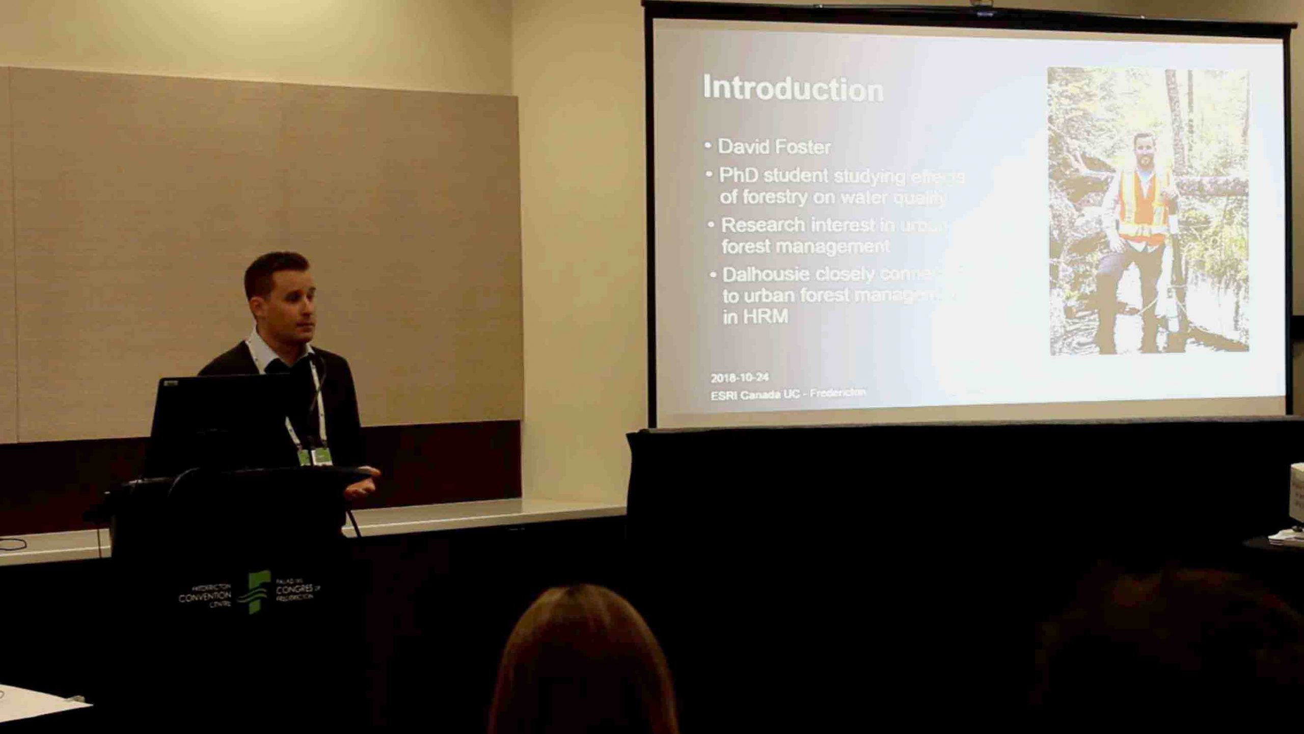
Managing Halifax’s Urban Forestry with Eos Arrow 100 and Esri ArcGIS Collector
Last year, David Foster showed how a group of student interns, university researchers, and municipal employees were able to hold contractors responsible for nearly $300,000 in warranty-covered tree replacements. In this 20-minute video, Foster presents his work at last year’s Esri Canada UC. Watch the video …

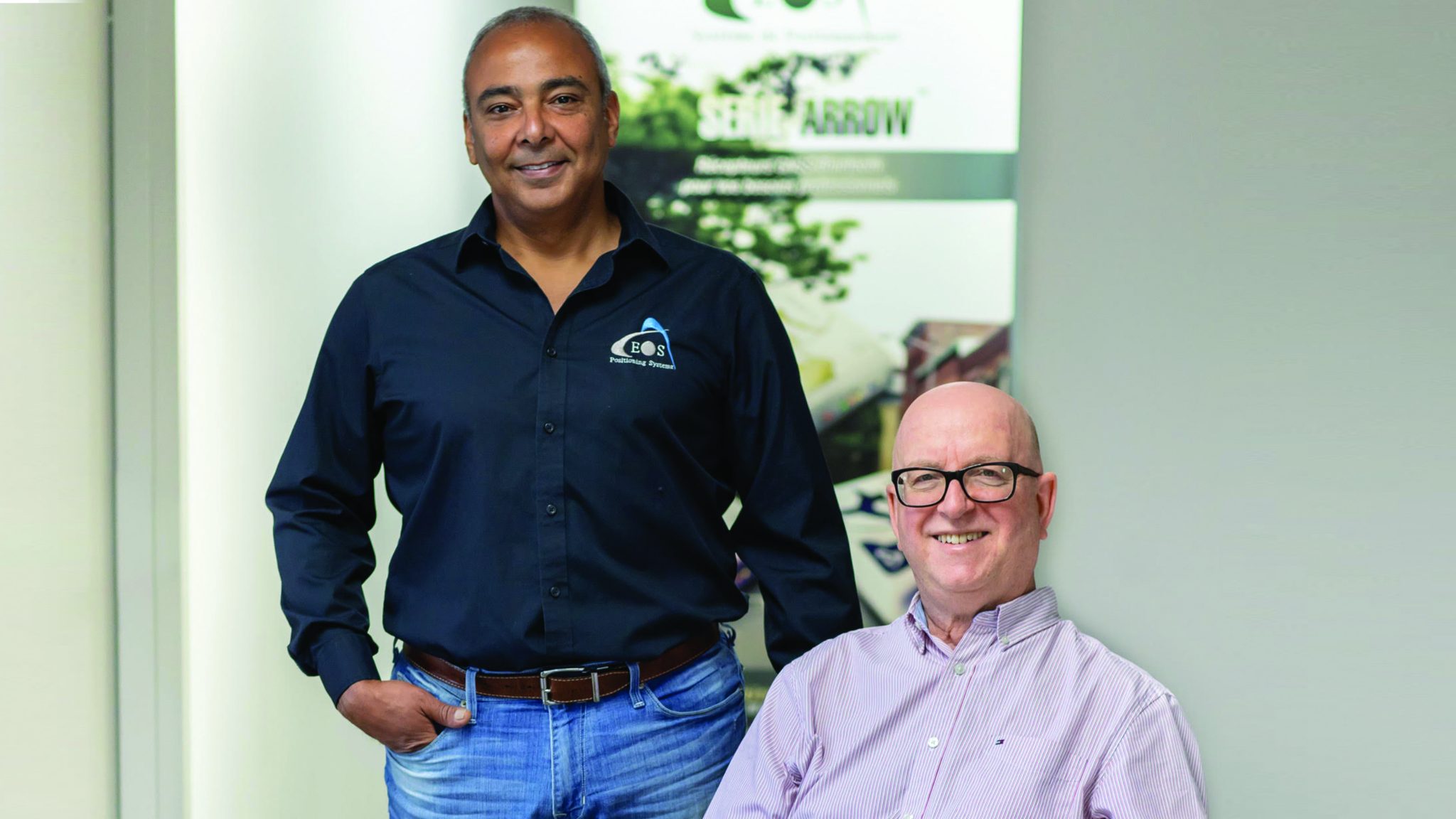
Interview with Eos Positioning Systems
Journal La Revue de Terrebonne sent a reporter to learn how Eos went from local startup to one of the world’s leading manufacturer of GPS/GNSS receivers. Learn how Eos made high accuracy accessible. Read more …
Update at INTERGEO, a GPS World Interview [VIDEO]
Did you make it to INTERGEO last year? If not, GPS World interviewed Eos, who explained two new Arrow solutions: Laser offset mapping and geoid model support for real-time 3d survey-grade data collection. Watch the video …

How Do You Install Your GNSS Receiver & Deploy Collector? [VIDEO]
From our friends at MGISS UK, learn how to connect, mount, and start using your Arrow Series GNSS receiver with Esri ArcGIS Collector on Android. (3 minutes) Watch the video …

What GIS Professionals Can Expect from GNSS in 2019
In this GIS Café article, Eos CTO Jean-Yves Lauture explains five trends for 2019. See how low-cost smart devices have shifted the field accuracy mentality, and learn what to expect for Augmented Reality and real-time survey-grade data. Read more …
GPS III: GO for Launch, from Space & Missile Center Los Angeles AFB, Video (3 minutes)
Why we like it: This new generation of GPS satellites sets the stage for more powerful Arrow capabilities
Collect and Manage Vineyard Data, from Elvis Takow (Esri)
Why we like it: Elvis shows how precision agriculture benefits from high-accuracy field data

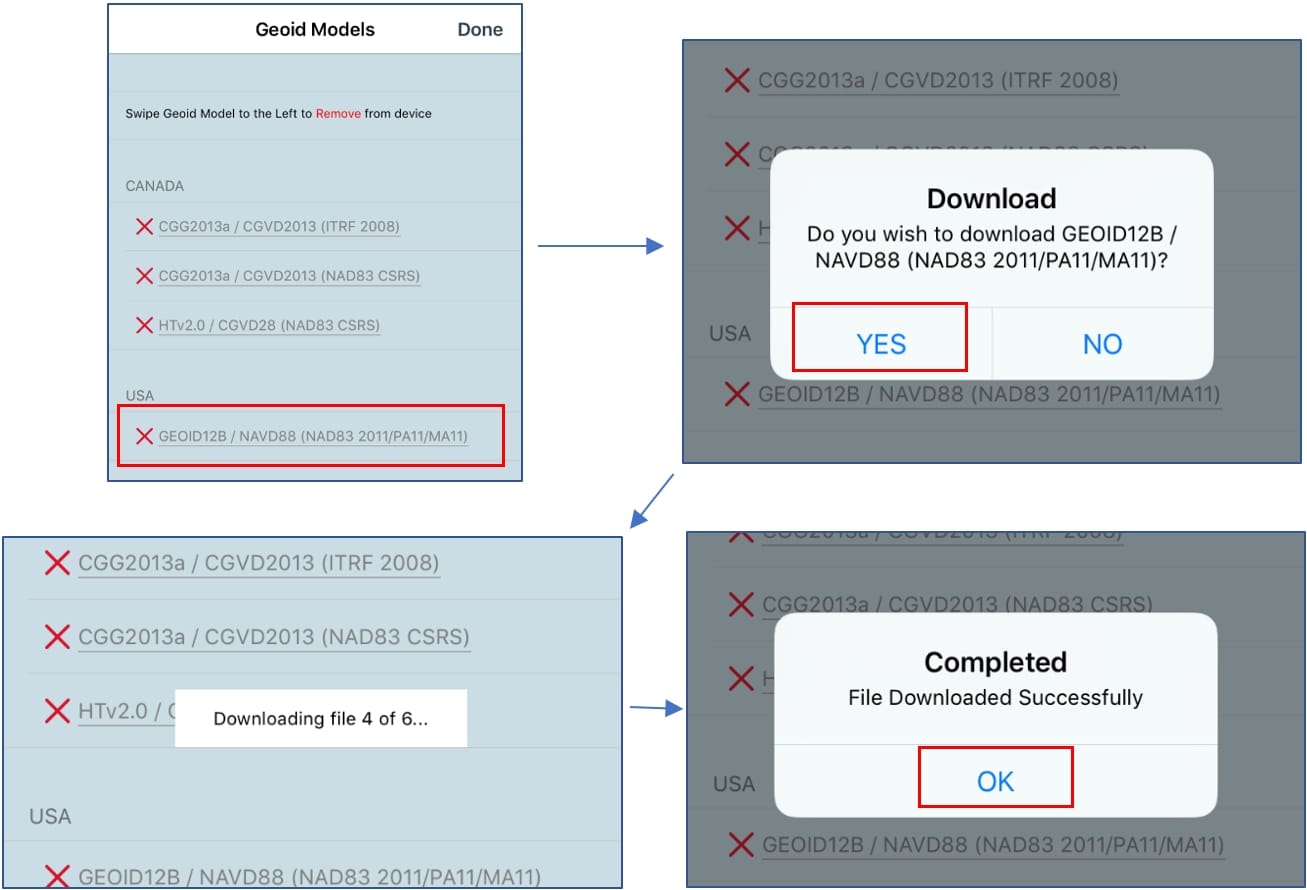
How to Record Orthometric Heights in Esri Collector Aurora (v18.1.0)
It is now possible to record orthometric heights in real time, without the need for post-processing! This guide will show you how create your a feature class that is Z-enabled in ArcGIS Desktop/ArcGIS Pro and configure Eos Tools Pro to send orthometric heights in real time to Collector v18.1.0. Get started with Z value …

FEATURED VIDEO:
How to Record Orthometric Heights in Esri Collector Aurora (v18.1.0)
In response to requests for information about logging real-time orthometric heights in the new Esri Collector Aurora (v18.1.0), we relesed this 4-minute how-to video. Watch the video …
FEATURED PDF:
How to Record Orthometric Heights in Esri Collector Aurora (v.18.1.0)
Download, save and print this screenshot-rich PDF guide as you begin to collect real-time orthometric heights with your Arrow GNSS receiver and Esri ArcGIS Collector.

Esri Water Conference
Nashville, TN
February 4-6
How to Find Eos, a Silver Sponsor
(Including Floor Plan) >>>
GeoSmart India 2019
New Delhi
February 11-13
URISA BC Seminar
Vancouver, BC
February 21
How to Find Eos, a Proud Sponsor
(Proudly Sponsoring URISA) >>>
LA Geospatial Summit
Los Angeles, CA
February 22
North Carolina GIS Conference
Winston-Salem, NC
February 27-March 1

