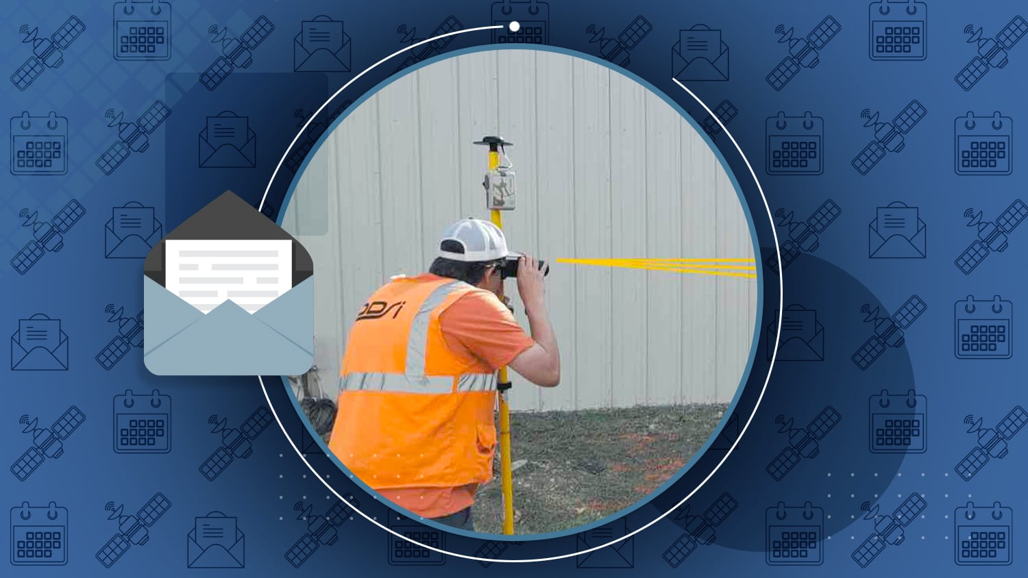
DDSI Increases Profit Margins of Telco-Site Surveys with GNSS Laser Mapping Solution from Eos, Esri and LTI
As a competitive consultancy, DDSI’s profit margins depend upon turning around timely and accurate surveys of telecommunications sites. With a goal of speeding up field work to increase profit margins, DDSI looked for a new GNSS data-collection system. Their biggest challenge with legacy handheld GPS devices was signal failure under canopy, and the time-consuming alternatives of using either a total station or manual measurements.
Discover how they increased margins (with screenshots and video) …

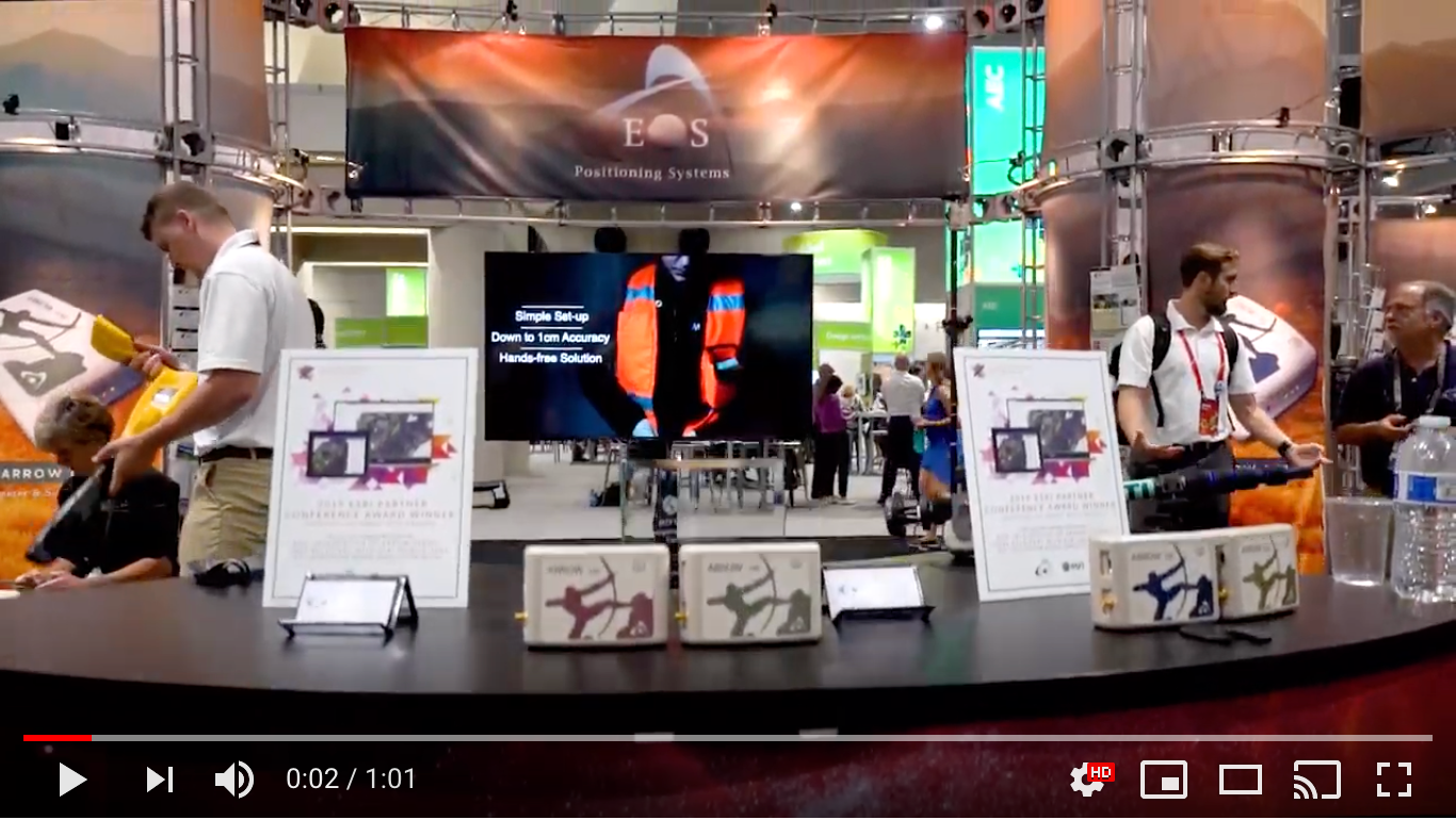
2019 Esri UC Recap Video
What’s it like to attend the Esri User Conference for the first time? One of the newest members from our team shares her highlights in this 1-min video and blog post.
Watch the video (1m) …
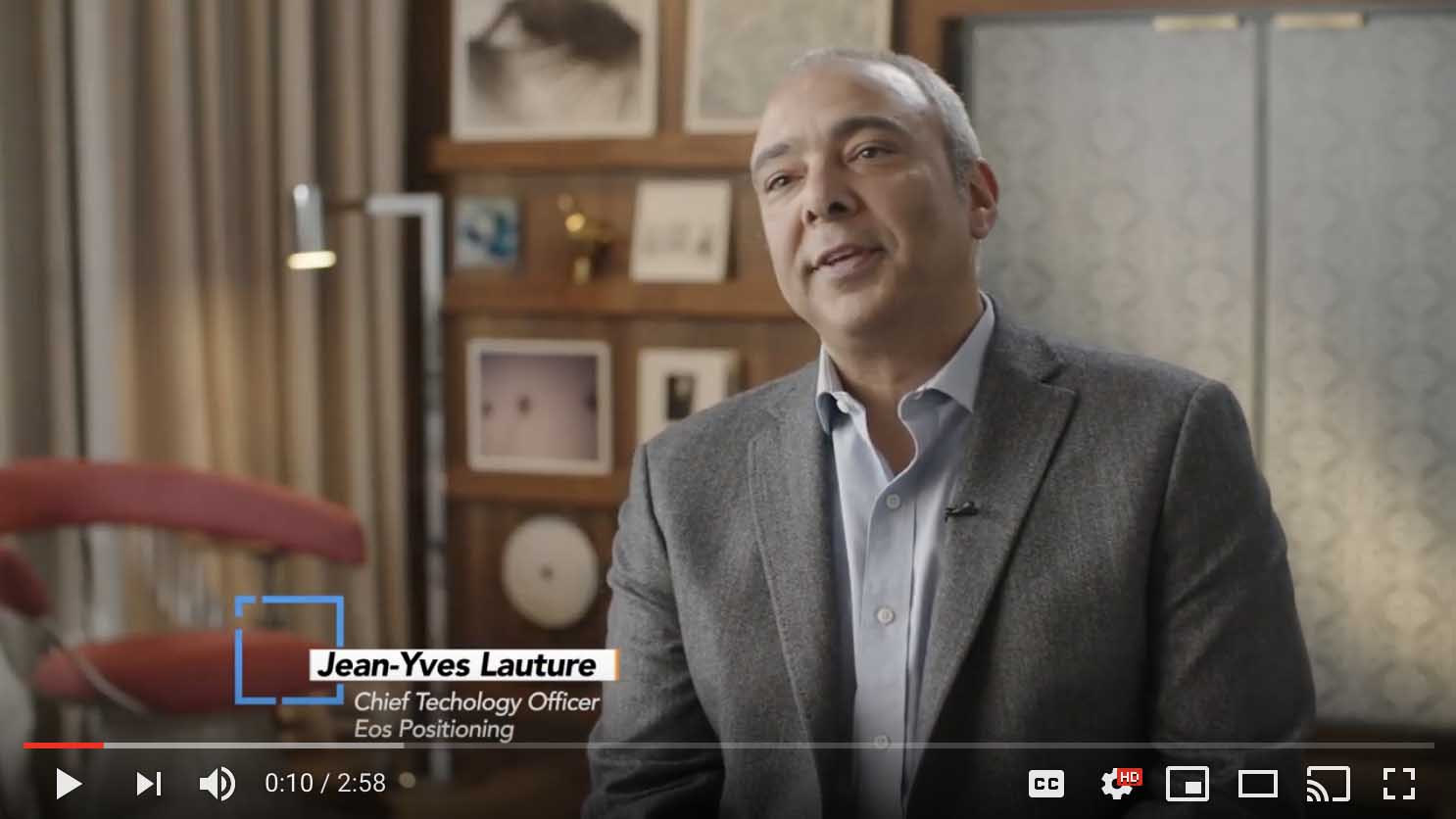
Esri Partner Spotlight Video: Montreal Fights a “Pesty” Problem
Esri explores how one city is using Collector with Arrow GNSS receivers to transform its future.
Watch the video (3m) …
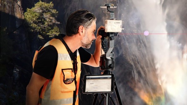
Behind the Laser Mapping Case Study
Mike George of this month’s featured case study explains how Laser GIS transformed profit margins at Esri GeoConX.
Watch the session (37m) …

Esri Partners Acknowledged
Eos was privileged to be among this year’s EPC award winners. Read about all the winners in the latest issue of ArcNews.
Browse EPC winners …
Esri Get Started with Data in ArcGIS Online
Part 1 of this 3-part series from Esri Canada shows you how to load data from the cloud, add a field, populate fields, create a Group, and share content to a Group.
Watch now (10m) …
The “hidden figure” of GPS
Dr. Gladys West helped develop GPS. Recently she was finally inducted into the Air Force Space and Missile Pioneers Hall of Fame
Learn why she was amazing …

Browse technical tips from Eos Technical Support Manager Alvaro
Ask Al your own question.
This month’s topics:
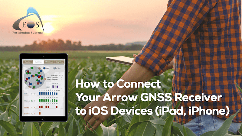
How to Pair Your Arrow GNSS Receiver to iOS® (iPad®, iPhone®)
Hold the power button for 5 seconds. Go to the “Settings” menu on your iPhone/iPad and select “Bluetooth”.
Keep reading to get started …
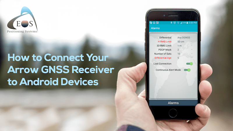
How to Pair Your Arrow GNSS Receiver to Android Devices
To configure the Arrow with an Android device via Bluetooth, go to your Android “Settings” and select the Bluetooth icon.
Keep reading to get started …
What to Know about the Galileo Service Interruption
Why service went out worldwide July 11, plus updates about its resolution on on July 18.
Stay updated about Galileo …
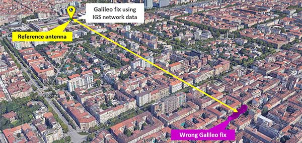
Why Galileo experienced a weeklong outage
GPS World reports in depth on what happened and why it happened.
Here’s what we know …
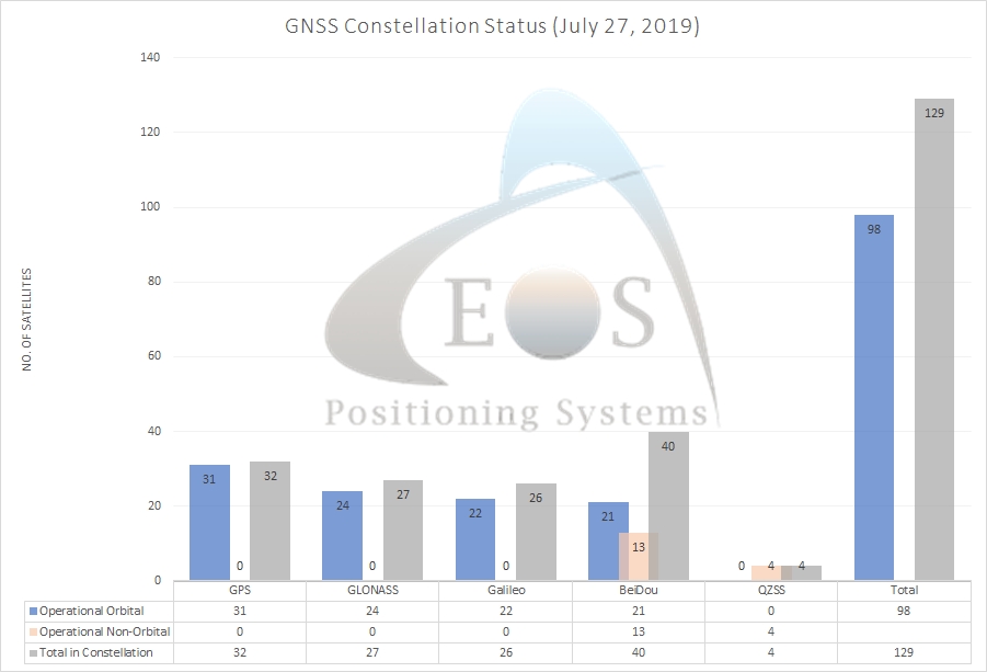
Current GNSS Constellation Status:

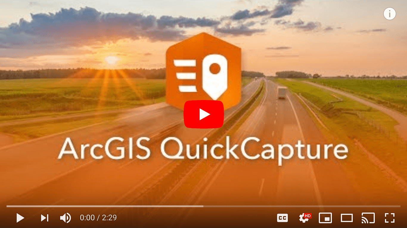
[VIDEO] Introducing Esri ArcGIS QuickCapture
See how this new big-button Esri app can be used for on-the-fly mapping from helicopters, bicycles and more!
Watch the video (2m) …
[PDF] How to Get Started with Laser Mapping
You’ll need an Eos Arrow GNSS receiver, Esri Collector, an LTI laser rangefinder, and iOS device.
View the PDF …

Florida Rural Water Association
Daytona Beach, FL
August 6-7
South Florida GIS Expo
West Palm Beach, FL
August 22-23
Kentucky Rural Water Association
Lexington, KY
August 26-28
