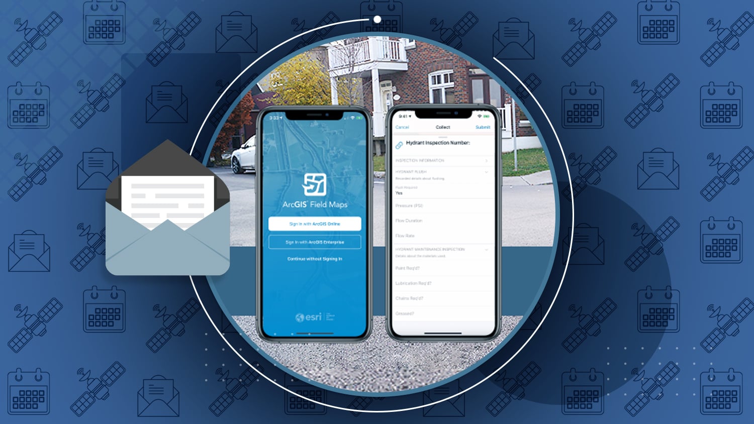
/// New ArcGIS Field Maps Beta Supports High-Accuracy Arrow GNSS Locations, Elevations and Metadata
ArcGIS Field Maps is a new Esri mobile app that will be released in its first beta July 2020. This inaugural beta will support Arrow GNSS receivers’ high-accuracy locations, elevations, and metadata.
How to take advantage of using Arrow GNSS with the ArcGIS Field Maps beta

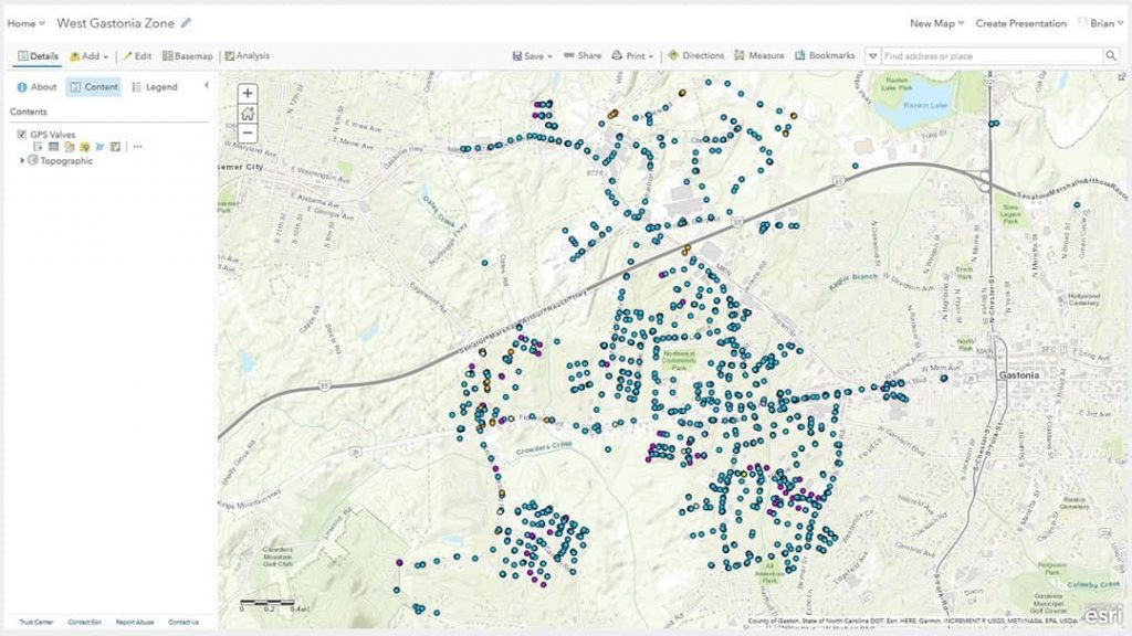
Launching the Future with a Valve-Exercising Program
User Story by Esri Water
Two Rivers Utilities is reducing service interruptions and modernizing tracing with a six-year valve-locating project with Arrow 100 and ArcGIS Collector.
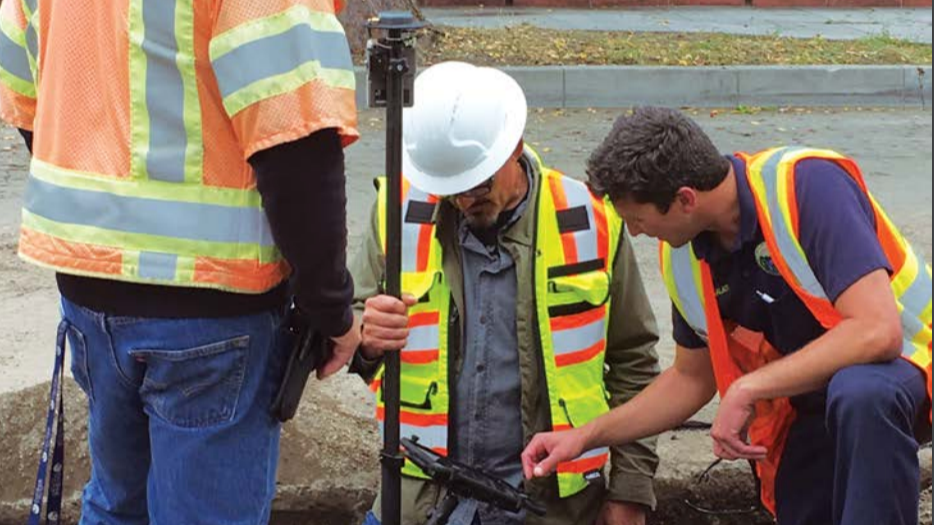
City of Santa Barbara Fights Drought by Upgrading Mobile GIS
User Story by Esri Local Government
While replacing water meters, the city wanted to collect the new meters’ locations with high accuracy, using an Arrow Gold base station.

Collector Classic is Retiring
ArcGIS Blog Article
As of June 18, Esri has indicated the retirement of Collector Classic will now take place on December 31, 2020.

China tests inter-satellite links of BeiDou navigation system
Article by China.org
Test have shown links among the satellites of the BeiDou system are stable. This helps ensure that the constellation can be completed as scheduled.

EGNOS goes from strength to strength
Article by GSA
EGNOS, which augments the GPS signal for European users, turns 15 this month. Its coverage area expansion and next-gen iteration is now underway.

New Datums Frequently Asked Questions (FAQs)
FAQ by the U.S. National Geodetic Survey
The planned 2022 rollout out of the U.S. National Spatial Reference System update will be delayed, possibly until 2024-2025. Read the National Geodetic Survey’s FAQ regarding the delay.
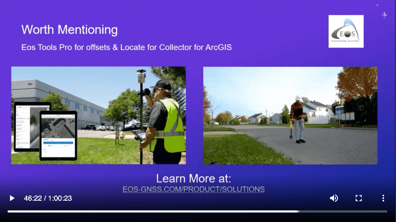
Capturing Reliable Data in the Field
Webinar by Esri Defense and Intelligence
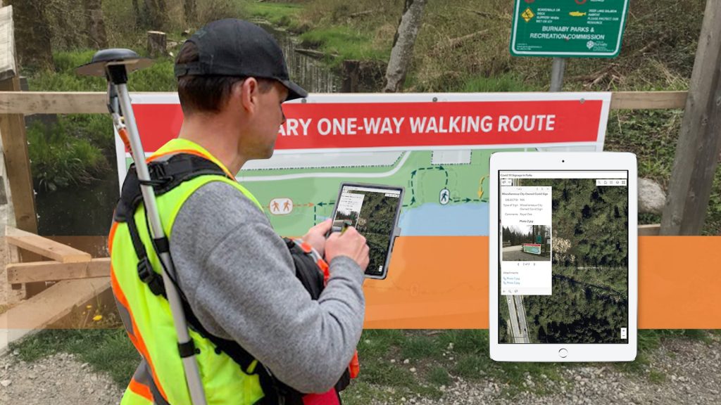
In this 60-minute webinar, you’ll learn how to optimize field operations with ArcGIS Collector. Look for a cameo by our joint customer City of Burnaby 4 minutes in.
How Esri’s specialties can help you find the right partner
Article by Esri Canada
Eos sat down with Esri Canada to explain how Esri Partner Specialties enhance the business relationship and provide additional benefits for our joint customers.

Announcing Eos Tools Pro for Windows!
Eos has announced the inaugural release of Eos Tools Pro for Windows, bringing advanced GNSS capabilities to field workers and developers using Windows 10.
Explore Eos Tools Pro for Windows!
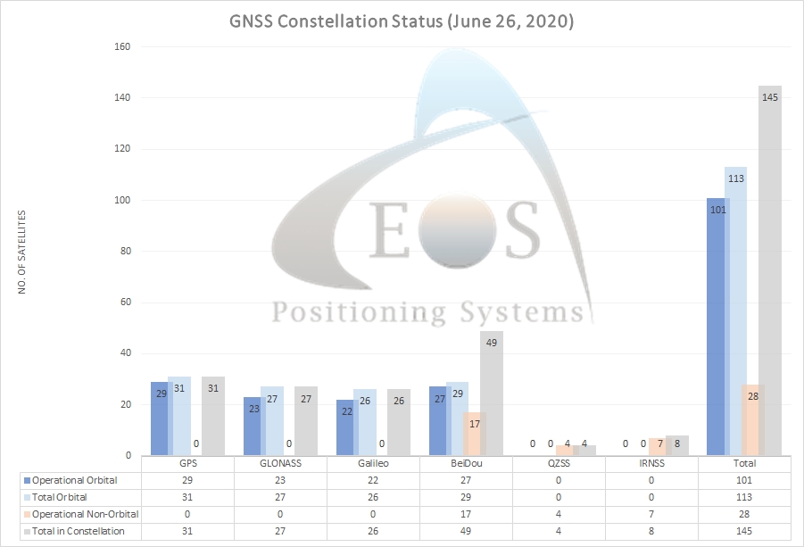
/// GNSS Constellation Status: June 26, 2020


Mike George Takes on the latest technology!
Mike George was one of the earliest adopters of laser offsets with Arrow Gold and Collector. Learn what drives Mike to constantly improve DDSI’s GIS workflows!


Esri User Conference (Virtual)
July 13-16
Eos is proud to be a Gold Sponsor at the first-ever virtual Esri UC. Learn how to meet with our representatives, tour our virtual booth, and more at this event. More details will come soon, as we work with Esri on to prepare our virtual presence at this show.
How to visit Eos at the virtual Esri UC >>>
Futura User Conference (Virtual)
July 29-30
Eos is also proud to be a Silver Sponsor of the first-ever virtual Futura UC. Visit our sponsor listing page to learn how Arrow GNSS works with Futura FieldPro. We appreciate your patience as this event’s digital collateral is being developed.
How to visit Eos at the Futura UC >>>

