/// Managing Australian Heritage Sites with Arrow 100 and Esri mobile apps (an Ozri 2020 User Presentation)
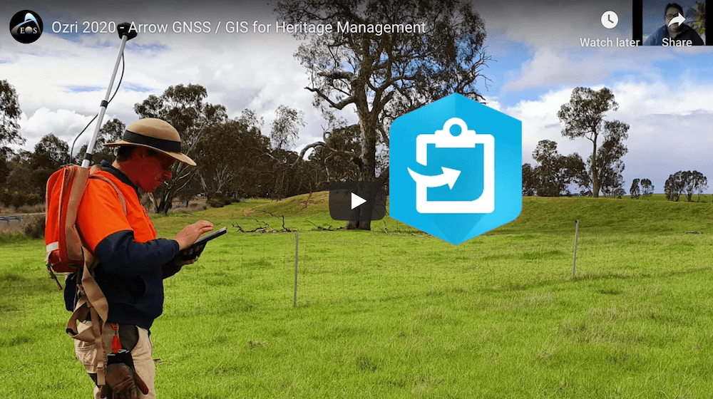
Australian Cultural Heritage Management (ACHM) takes on hundreds of heritage management projects each year throughout Australia that require quality GIS data. In this Ozri 2020 presentation, Dr. Shaun Canning, Managing Director of ACHM, shares how his organization uses Arrow GNSS / GIS alongside Esri mobile apps.
Watch Dr. Canning’s 8-minute presentation about ACHM >

Northumbrian Water mitigates safety risks with high-accuracy mobile mapping
Story by MGISS
U.K. water utility Northumbrian Water is using high-accuracy tech (i.e., Arrow 100 GNSS, ArcGIS Collector, ArcGIS Workforce) to manage safety risks posed by trees.
Read their story >
WAAS Test Team issues release about new website resources
Update from FAA
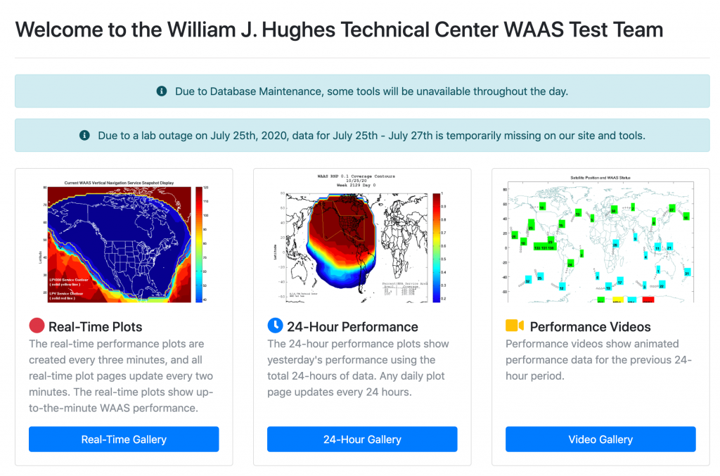
The U.S. FAA has released an announcement encouraging high-accuracy SBAS users in North America to take advantage of its real-time WAAS performance monitoring tools on this website.
Read the WAAS Test Team announcement >
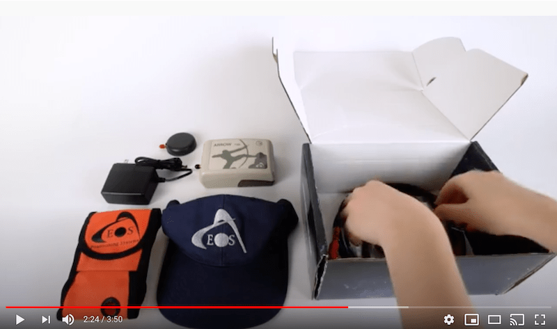
What’s in the box?
Video by Eos
What’s in the box when you order an Arrow 100 GNSS receiver? This unboxing video shows what comes with every Arrow 100 purchase and how to perform basic antenna/receiver/cable connections.
Watch the unboxing video >
Agriculture groups join coalition to reverse Ligado decision
Article by Allison Barwacz, GPS World
ICYMI: The “Keep GPS Working Coalition” was formed in June to “protect GPS users from harmful interference resulting from the [FCC’s] decision to permit Ligado Networks to operate a terrestrial wireless network in the band adjacent to GPS.” Several agriculture groups have since joined the coalition.
Read about the coalition and agriculture group’s response to Ligado >

/// Technical tips and GNSS updates from our Tech Support Manager, Alvaro Paez:

/// KimPro reduces emissions with geospatial innovation
KimPro is on a mission to mitigate the impact of accidental gas and methane leaks. Learn how they combine industry expertise with cutting-edge technology to detect leaks. See how KimPro prioritizes the environment >

| Eos is a Gold Sponsor at 1st Esri IMGIS virtual event THIS WEEK, Oct. 27-30. Current Esri customers in good standing may register for free here. Here are all the ways to interact with Eos LIVE at IMGIS* *Please note these links will not work unless you are registered for and logged into the Esri IMGIS platform. |


LIVE! “High-Accuracy Mobile GIS/GNSS Interactive Panel: Ask Us Anything!
Wednesday Oct. 28 at 8:45 am PDT
Join a panel of the world’s most influential high-accuracy mobile GIS experts. Eos Positioning Systems is joined by Esri’s Ismael Chivite (ArcGIS Apps Sr. Product Manager Lead), Jeff Shaner (Esri Field Apps Product Engineering Lead), and Zac Petix (power user at Palmetto Engineering).
Watch live Wednesday >
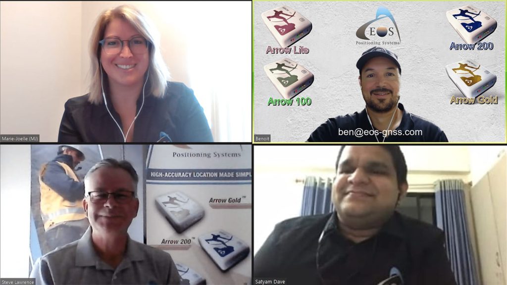
Join Eos live on Zoom during IMGIS Expo Hours
From our virtual listing page, click the “Join us on Zoom” button during these Expo Hours (all shown in PDT):
– Tuesday,12pm (Noon) – 4pm
– Wednesday, 7:30am – 2:30pm
– Thursday, 7:30am – 1:30pm

Watch on demand: Improving Field Operations Efficiency
American Water
How to access: This video will be available for viewing at the start of the conference, Tuesday, October 27. Watch live here starting Tuesday Oct. 27.
Synopsis: 5 years ago at the inaugural Esri Water Conference, Chris Kahn presented his plan to collect ~1.5 million assets over 9,200 linear miles of water main. In 3 years. In house. For less than 95% cost of contemporary rates. See how Kahn met his goals. Hint: It includes ditching traditional handheld GPS units and post-processing for Bluetooth RTK GNSS in real time via ArcGIS Server. Utilizing consumer tablets (iOS®, Android) and offline map caches. Using lasers to avoid lane closures. And more. Since hatching his plan, Kahn has helped AmWater capture nearly 5 million GNSS coordinates across 16 states and deploy 18 private Eos Arrow Gold base stations in four states where RTK access is not free. This presentation will cover their journey of GNSS at large scale, and the lessons learned along the way.
Watch on demand: Preparing for High Accuracy GNSS Data Collection
Rockett Special Utility District
How to access: This video will be available for viewing at the start of the conference, Tuesday, October 27. Watch live here starting Tuesday Oct. 27.
Synopsis: Rockett Special Utility District has been expanding rapidly and was searching for the best mapping technology to bring their water system data into the 21st century. Texian Geospatial provided everything they needed to get started digitally collecting assets they own and maintain. Using Eos GNSS rovers connected to an Eos RTK Base Station field crews have begun the process of collecting all of their assets in the field with high accuracy using Esri ArcGIS Collector.
While you wait: Read the Rockett SUD case study.
Watch on demand: Creating and Managing a Construction Management System Using UAVs, High-Precision GNSS, and ArcGIS Online
LaCima
How to access: This video will be available for viewing at the start of the conference, Tuesday, October 27. Watch live here starting Tuesday Oct. 27.
Synopsis: In Texas, LaCima wanted to document construction progress at a new 700 acre development. It started with weekly UAV flights still images we passed to the client, and turned into a full mobile GIS solution (shared web maps to internal project leadership and external stakeholders). For 2 years they expanded to weekly still UAV pictures and monthly site orthomosaics. Looking for a better way to share/disperse drone and other data, they presented an ArcGIS Online solution combining web maps, CAD drawings, county Parcel data, and more onto a map that could be viewed on their phone, tablet or computer. They created LaCima’s ArcGIS Online organization account to distribute internally and externally via a simple ArcGIS web app showing the orthomosaics, and since expanded to 3 custom field maps for specific users.
– Project Manager field map: Lets PMs see overall progress easily using the orthomosaics.
– Operations Manager field map: OMs can view CAD and vector data, as well as calculate measurements of sidewalks, asphalt and other features directly from the high resolution imagery via measure tools within ArcGIS Online. This lets them verify info from contractors is really occurring in field and to track progress.
– StoryMap: Overall site progress tracked w/image slider template showing mosaics (progress) over time. Myriad stakeholders now monitor site construction in real time

