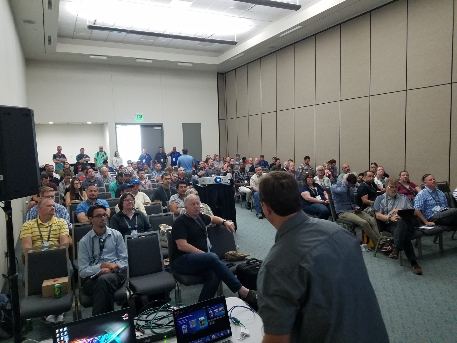
About the 2018 Esri UC
An estimated 18,000 GIS and location professionals will gather at the international Esri user conference. The 2018 Esri UC provides thousands of sessions, training workshops, lightning talks, and more.
So how will you spend your time?
If you’re interested in learning about high-accuracy data collection, Eos has you covered. We picked out our favorite 6 sessions from this year’s upcoming user conference.
Browse the six sessions we recommend for the Esri UC below.
For more details about the event, click here.


1. ArcGIS Collector: Working with High Accuracy Data
- 2 sessions: Wed 11am, Thurs 4pm
Learn how to connect your GNSS (GPS) receiver to Esri Collector.
From the Esri abstract:
Today there are more and more options for getting high accuracy locational information on Smartphones and Tablets. Attend this session to learn how to use ArcGIS Collector to capture data with high geographic accuracy from GPS/GNSS receivers.
2. What’s New in High-Accuracy GNSS Data Collection
- 1 session: Thursday 11:30am
Learn upcoming advances in high-accuracy field location.
From the Esri abstract:
Field GIS users may now acquire real-time submeter and centimeter location — on any smartphone or tablet. Discover how far high-accuracy location has come, and what to expect in the future, from Eos, Esri, and related experts.

3. ArcGIS Apps for the Field: An Introduction
- 3 sessions: Wed 10am, Thurs 1pm, Fri 9am
Get down to basics. Here’s an overview of Esri mobile apps.
From the Esri abstract:
Learn how to use ArcGIS apps to help plan, coordinate, run and monitor field operations. In this session we will demonstrate how ArcGIS Apps (Workforce, Navigator, Collector, Survey123, Explorer, Operations Dashboard) work together to optimize field work.

4. Integrating Laser Measurement Solutions with ArcGIS Mobile Apps
- 1 session: Wed 10am
Use a laser to shoot hard-to-reach assets with high accuracy XYZ — on any smartphone or tablet.
From the Esri abstract:
In this session we will describe how you can boost your field data collection productivity combining ArcGIS field apps with laser-based measurement devices.
5. LaserGIS for Everyone: How to Combat Costly and Tedious Data Collection Workflows
- 1 session: Wed 11:30am
Use a laser to shoot hard-to-reach assets with high accuracy XYZ — on any smartphone or tablet.
From the Esri abstract:
The rapid advances in GIS technology has created a pathway for Laser Technology to help you do more with less by integrating lasers with the smart devices, mapping apps and GPS/GNSS devices that you already own. Learn how you can maximize your productivity by creating a quicker and safer field data collection process that can generate an immediate ROI without sacrificing data integrity.
6. Modernizing the As-Built Process
- 1 session: Wed 8:30am
How do you do as-builts in one week? See how Indiana AmWater is using high-accuracy mobile GIS to do just that.
From the Esri abstract:
Collecting and keeping up-to-date GIS data is essential for keeping business processes operating at peak performance. Recent advances in software and hardware have enabled American Water to collect and record data more quickly and easily than before. We will show how Collector, paired with GPS equipment, has enabled American Water to collect and view GPS-based digital as-builts in real time. We will discuss challenges overcome as well as the benefits of using Collector-based digital as-builts.