Visit Eos Positioning Systems® (Eos) at 2022 MN GIS/LIS Consortium. This year’s event will be held at the Sanford Center in Bemidji. An Eos GNSS expert will be in the booth throughout the expo and we will also be providing a session Friday afternoon to discuss using your Arrow GNSS receivers with Esri’s ArcGIS Field Maps mobile application.
Expo Dates & Times
Oct 12, 2022 / 2:00pm – 5:00pm
Oct 13, 2022 / 10:00am – 7:00pm
Oct 14, 2022 / 8:00am – 12:00pm 2022-10-12 14:00:00 2022-10-14 12:00:00 America/Chicago 2022 MN GIS/LIS Consortium Find Eos at the 2022 MN GIS/LIS Consortium Bemidji, Minnesota Eos Positioning Systems
Social Media
Learn about high-accuracy mapping in this session:
Our Conference Sessions
The Eos team will be participating in the following sessions during the conference. Please join us for some informative discussion.
Session 1: Survey-Grade GNSS Accuracy on any Mobile Device using ArcGIS Field Maps
Oct 14, 2022 / 10:30 am - 12:00 pm |
Room TBD
Abstract: In the past seven years, GNSS receivers and data collection software have fundamentally transformed the way organizations collect 3D survey-grade GNSS data. Previously organizations had to purchase expensive, proprietary data collectors and software to operate their high-accuracy GNSS receivers. Now field technicians can collect survey-grade data, including elevations, on their mobile device when connected to an Eos Arrow GNSS receiver. Whether an organization has a single ArcGIS Fieldworker license or one hundred, it will likely have free access to powerful survey-grade field data collection software, including ArcGIS Field Maps, Survey123, and QuickCapture. If that weren't enough, many state DOTs -- including those in Minnesota, Wisconsin and Iowa -- operate an RTK network where access is free of charge. The user needs only an Internet connection on their mobile device to stream the free centimeter RTK corrections to their GNSS receiver. Never in the history of GPS/GNSS has it been so inexpensive and simple to collect three-dimensional, survey-grade spatial data.
- Steve Nicholson, TreeBiz
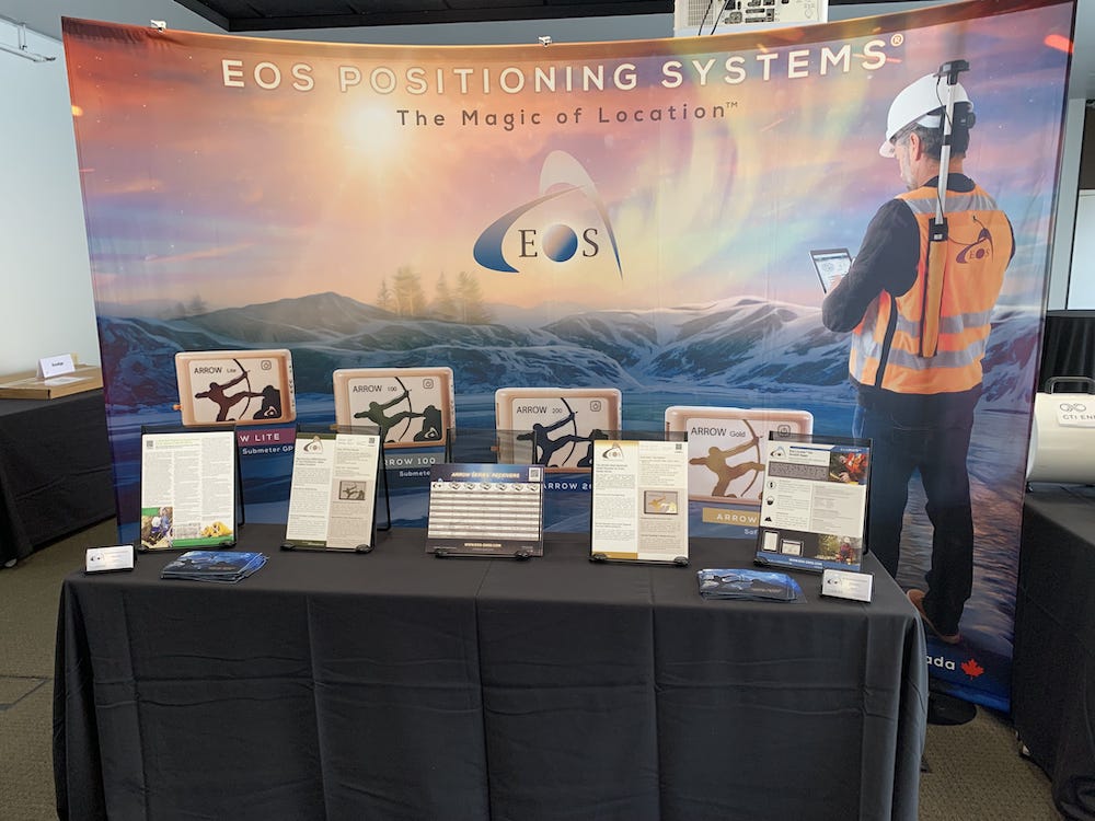
Our booth will look like this:
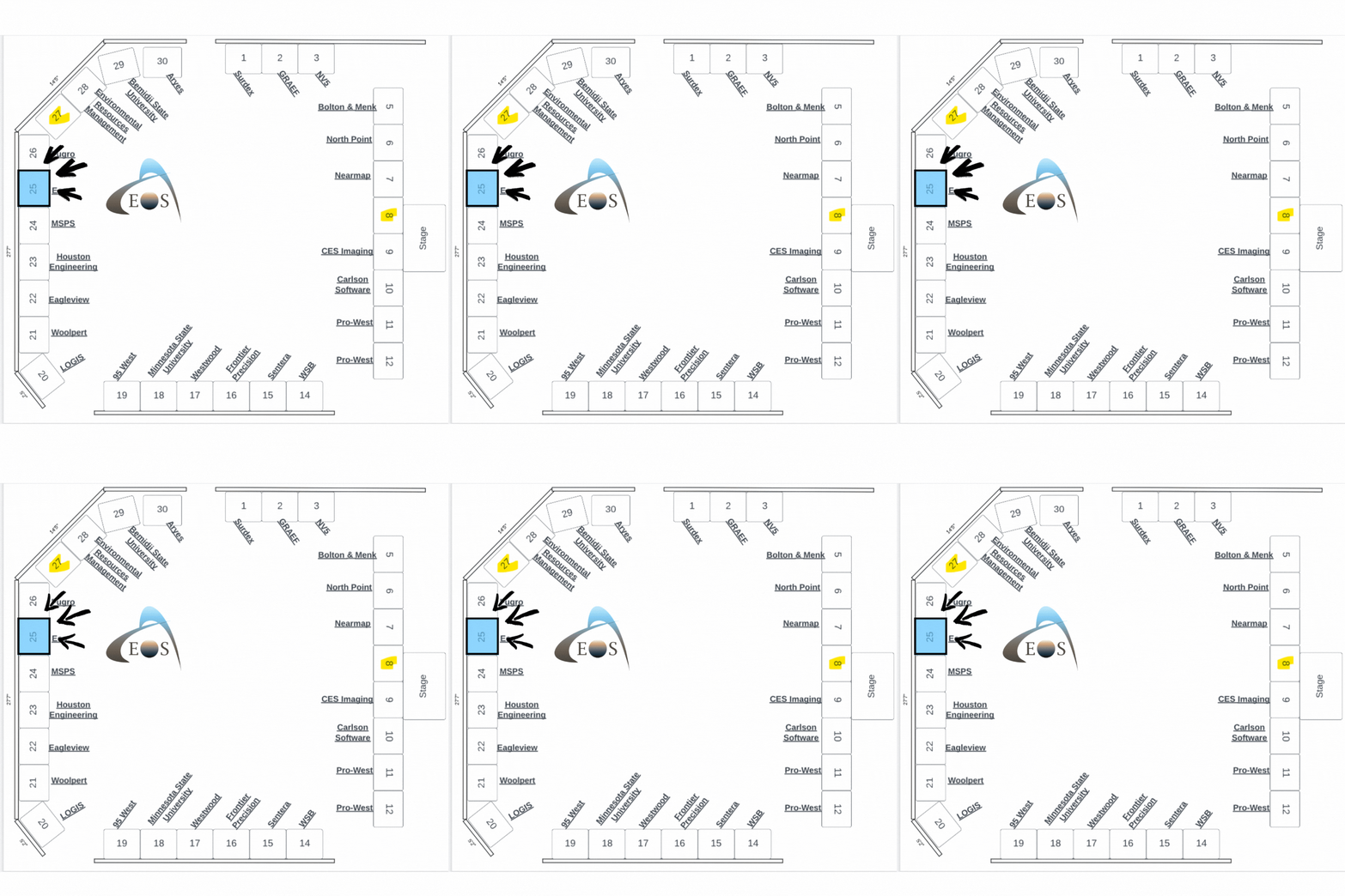
Find us on the floorplan:


