Visit Eos Positioning Systems® (Eos) with Esri at 2023 Ohio Rural Water Annual Training Conference. This year’s event will be held at the Embassy Suites in Dublin, Ohio in Dublin. Eos and Esri will be in our booth from May 09–09. Also, don’t miss our back-to-back sessions that will get you started with the basics on mobile mapping with the latest and greatest GIS and GPS/GNSS technologies from both companies. The afternoon session will include the opportunity to get professional-grade mapping devices into your hands and out in the field to collect data in real time and bring it back indoors for analysis with the experts.
Expo Dates & Times
May 09, 2023 / 9:00am – 3:00pm 2023-05-09 09:00:00 America/New_York 2023 Ohio Rural Water Annual Training Conference Find an Eos Representative at the 2023 Ohio Rural Water Annual Training Conference Dublin, OH Eos Positioning Systems
Location
Embassy Suites in Dublin, Ohio
5100 Upper Metro Pl.
Dublin, OH 43017
United States
Social Media
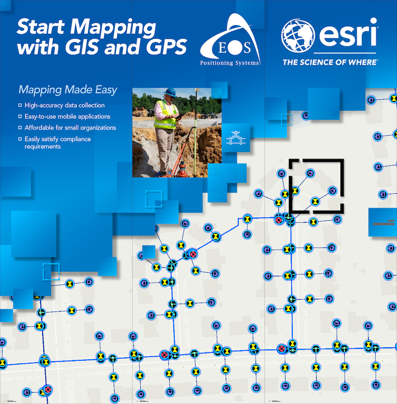
Our booth will look like this:

Learn about high-accuracy mapping at these Sessions:

Our Conference Sessions
The Eos team will be participating in the following sessions during the conference. Please join us for some informative discussion.
Session 1: WebGIS: Digital Maps, Data, and Dashboards
May 10, 2023 / 11:00 am - 11:40 am |
Dublin B/C
Today's utilities face the inevitable challenge of having to accomplish more with less. WebGIS enables data collection, visualization, and sharing of data critical to sustainable utility management. Maps have always been essential to understanding and improving the delivery of safe, clean drinking water and reliable sewer and stormwater services. This presentation will introduce WebGIS and how web maps enable digital mapping and applications that support daily field to office workflows. GIS based mobile applications that give staff the ability to view, collect, and share data will be discussed and demonstrated. The presentation will focus on how dashboards are used to monitor daily activity, visualize and share data, and support data driven decision making. Resources will be shared at the end of the presentation to provide attendees with additional information.
- Matt Kennedy, Esri
- Brittany Metz, Esri
- Dan Zylstra, Eos Positioning Systems
Session 2: High Accuracy Mapping & Field Data Collection
May 10, 2023 / 1:00 pm - 1:45 pm |
Dublin A
Today's rural utilities and small local governments face the inevitable challenge of having to accomplish more with less. Using Geographic Information Systems (GIS) and field data collection technology including GPS, sustainable utility management is an achievable goal. The use of GPS has been essential in the creating and updating of small utility GIS and map data. This workshop will discuss the fundamentals behind high accuracy GPS, how it works and how it enables digital mobile mapping that supports daily field to office workflows. The presenter will discuss a wide variety of topics that are relevant to organizations that need guidance implementing GIS or GPS and those with systems in place and at different levels of functionality. Resources will be shared at the end of the presentation to provide attendees with additional information.
- Dan Zylstra, Eos Positioning Systems
- Brittany Metz, Esri
- Matt Kennedy, Esri


