Visit Eos Positioning Systems® (Eos) with Esri at 2024 Hawaii RWA Training & Technical Conference. This year’s event will be held at the Courtyard King Kamehameha's Kona Beach Hotel in Kailua-Kona. Eos and Esri will be in booth #17 in the dedicated exhibit room from November 20–21.
Expo Dates & Times
Nov 20, 2024 / 12:00pm – 6:00pm
Nov 21, 2024 / 8:00am – 12:00pm 2024-11-20 12:00:00 2024-11-21 12:00:00 Pacific/Honolulu 2024 Hawaii RWA Training & Technical Conference Find Eos with Esri at the 2024 Hawaii RWA Training & Technical Conference Kailua-Kona, HI Eos Positioning Systems
Location
Courtyard King Kamehameha's Kona Beach Hotel
75-5660 Palani Rd
Kailua-Kona, HI 96740
United States
Social Media
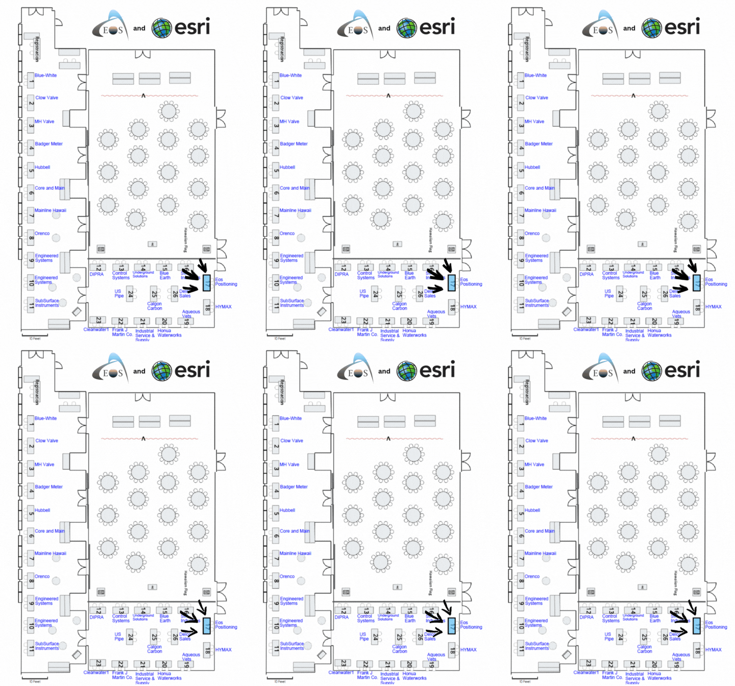
Find Eos in the exhibitor’s area in booth #17:
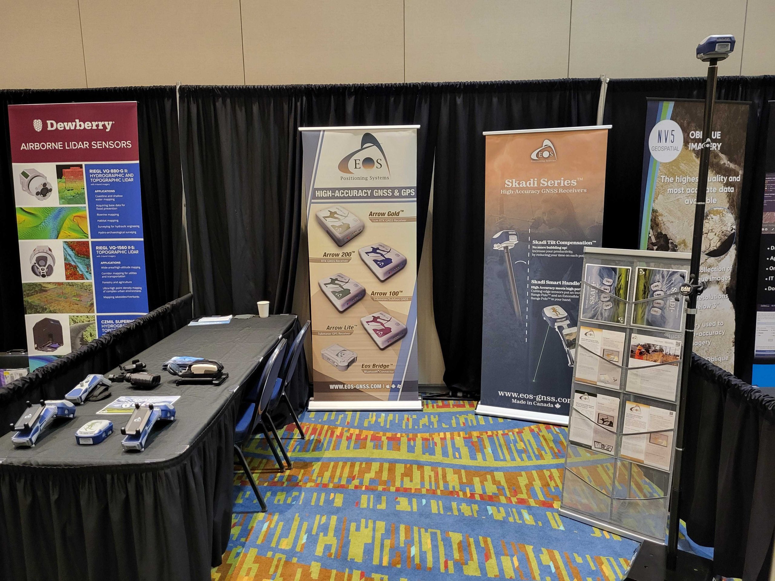
Our booth will look like this:
Our Conference Sessions
The Eos team will be participating in the following sessions during the conference. Please join us for some informative discussion.
Session 1: GPS in Hawai’i: How to Get Higher Location Accuracy for Your Maps
Nov 21, 2024 / 1:30 pm - 4:00 pm |
Conference Rm 4
Knowing where your assets are or not can make a big difference in efficiently managing your system. This presentation will introduce the basics of GPS and what is needed to get high accuracy, specifically covering options available for improving GPS locations in Hawai’i. Attendees will learn about how to get higher location accuracy — from submeter to subfoot and even centimeter-level — in their mobile maps. A variety of sources of this accuracy that are available specifically in Hawai’i will be discussed, including SBAS, RTK and base stations, and Galileo High Accuracy Service. Participants will also have an opportunity to learn more about how these technologies work, which ones are most cost efficient, and how to utilize them in order to gain efficiencies in water and wastewater management. This presentation will also cover what to look for in a GNSS solution, as well as recommendations for mobile devices and GIS mapping software. Additionally, GNSS veteran Isaiah Mack will be available for hands-on demonstrations after the presentation. Finally, we’ll show real-world use cases demonstrating how accurate, digital maps can bring greater efficiency to real rural water systems trying to do more with less.
- Isaiah Mack, Eclipse Mapping, authorized for Eos Positioning Systems
- Christa Campbell, Esri
- Sarah Alban, Eos Positioning Systems

