Visit Eos Positioning Systems® (Eos) at the 2024 IMGIS event. This year’s event will be held at the Palm Springs Convention Center in Palm Springs. As a proud Silver Sponsor of this event, Eos will be in booth #100 from October 22–23. Also, be sure to attend our customer’s October 22 presentation about using Eos GNSS receivers to manage their electrical distribution assets in Costa Rica as they digitally transform their operations by modernizing existing systems.
Expo Dates & Times
Oct 22, 2024 / 12:00pm – 7:00pm
Oct 23, 2024 / 8:30am – 5:30pm 2024-10-22 12:00:00 2024-10-23 17:30:00 America/Los_Angeles 2024 IMGIS Find Eos at the 2024 IMGIS event in Palm Springs Palm Springs, CA Eos Positioning Systems
Location
Palm Springs Convention Center
277 N. Avenida Caballeros
Palm Springs, CA 92262
United States
Social Media
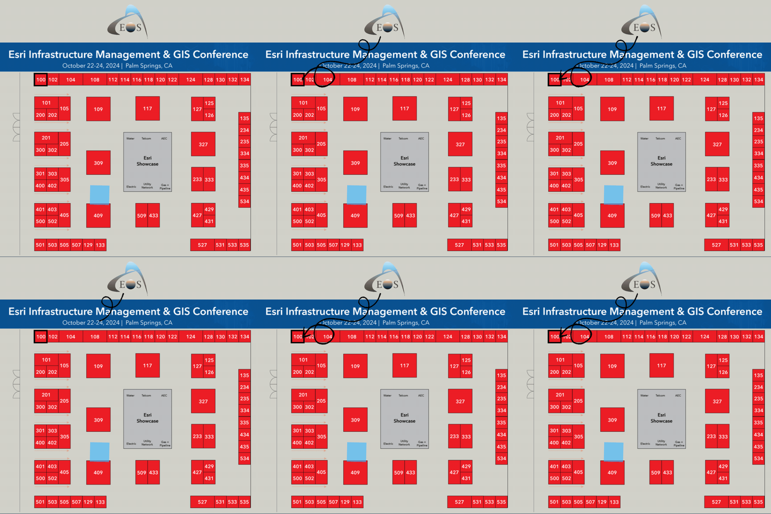
Find us on the floorplan:

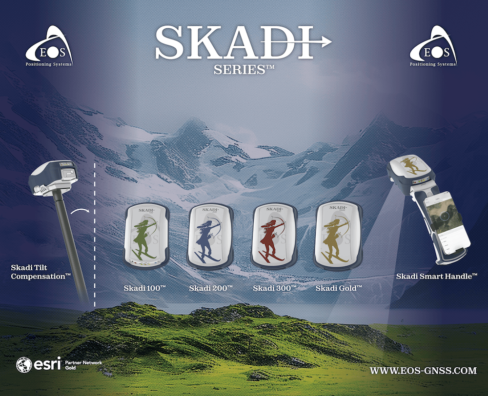
Our booth will look like this:

Sessions We Recommend
Eos employees, customers, partners, and/or associates will be participating in the following session(s) during the conference. Click the button to add a session to your calendar.
Session 1: Digital Transformation: ArcGIS and Eos GNSS in Electric Asset Management
Oct 22, 2024 / 4:00 pm - 5:15 pm |
Primrose CD
The Rural Electrification Cooperative of Guanacaste, Coopeguanacaste, provides electrical distribution services to over 90,000 members in Costa Rica, making it the country’s second largest company in terms of area. In recent years, the cooperative identified the need to digitally transform its operations, aiming to modernize existing systems. Since 2023 we have been working with Coopeguanacaste to develop a digital twin of their assets. The first step was to integrate vehicle tracking systems with ArcGIS. Next a new work order system was designed to reflect field operations at the user level. (Also available online)
- Mercedes Chinchilla, Nimbustech
- Mario Cabalceta, Coopeguanacaste R.L
Session 2: Data Collection from Paper Records to ArcGIS Field Maps, My Forty Year Journey
Oct 22, 2024 / 4:00 pm - 5:15 pm |
Mojave | Renaissance
SoCalGas is a 150+ year-old company with 21 million customers. Over the past forty years, SCG has been migrating from a range of mapping products and paper records to an integrated GIS solution. The Landmark Site Survey project uses ArcGIS Field Maps and the latest technology to validate service information for 18,000+ identified high profile, high-density areas to update SCG systems of record. Obscure meter locations and services are field surveyed using pipe locators, GPS data collection, and laser offset (using range-backsight collection for maintaining precision and accuracy in ArcGIS Field Maps).
- Brad Garrison, Southern California Gas Company
- Justin Weaver, Southern California Gas Company
- Dennis Grimaud, Southern California Gas Company


