Visit Eos Positioning Systems® (Eos) with Esri at 2024 South Carolina Rural Water Association Annual Conference. This year’s event will be held at the Marriott Grande Dunes - Myrtle Beach in Myrtle Beach. Eos and Esri will be in booth #74 with Esri from November 19–19.
Expo Dates & Times
Nov 19, 2024 / 8:00am – 4:30pm 2024-11-19 08:00:00 America/New_York 2024 South Carolina Rural Water Association Annual Conference Find Eos with Esri at the 2024 South Carolina Rural Water Association Annual Conference Myrtle Beach, SC Eos Positioning Systems
Location
Marriott Grande Dunes - Myrtle Beach
8400 Costa Verde Dr.
Myrtle Beach, SC 29572
United States
Social Media
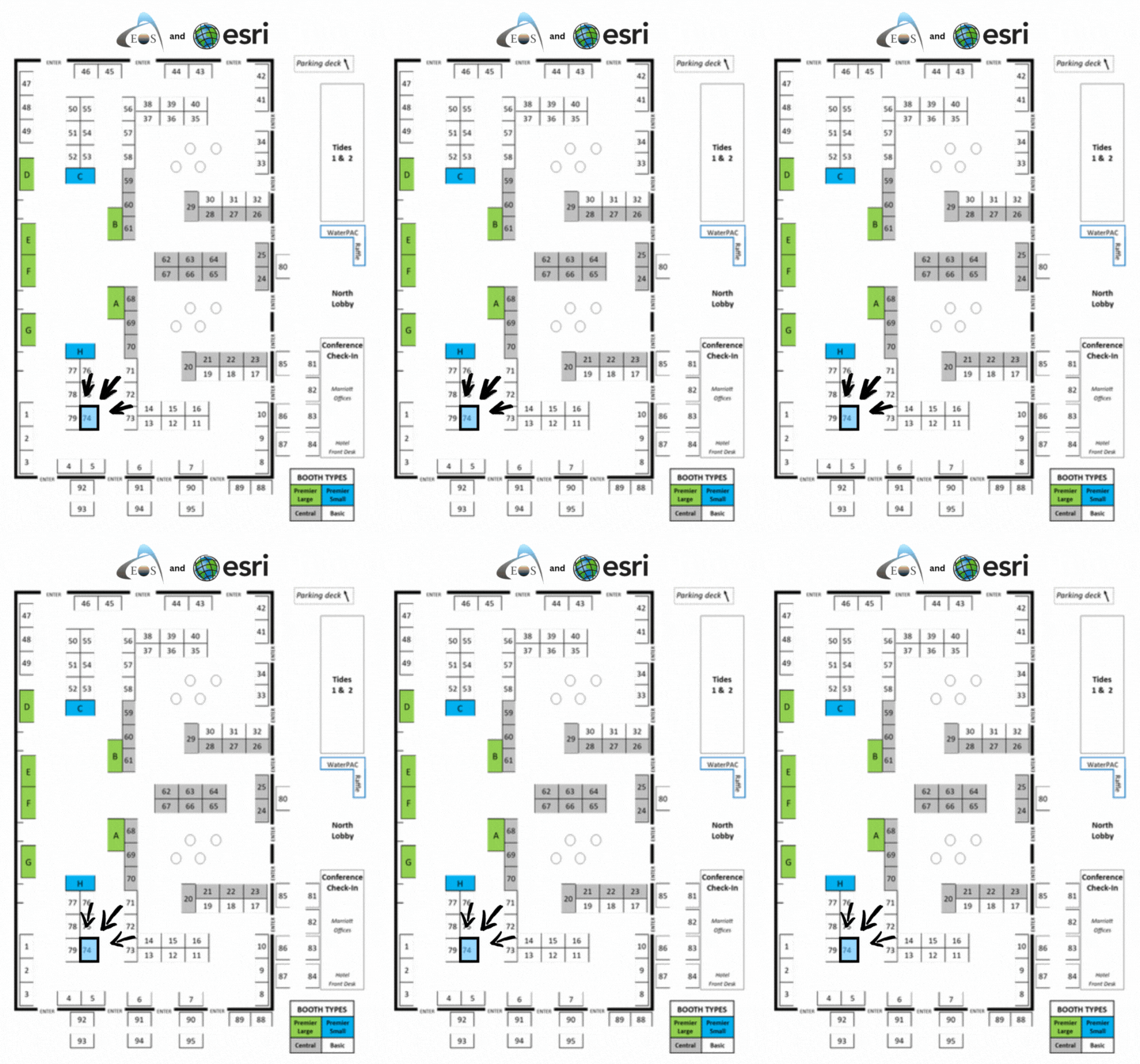
Find us in booth #74 with Esri:

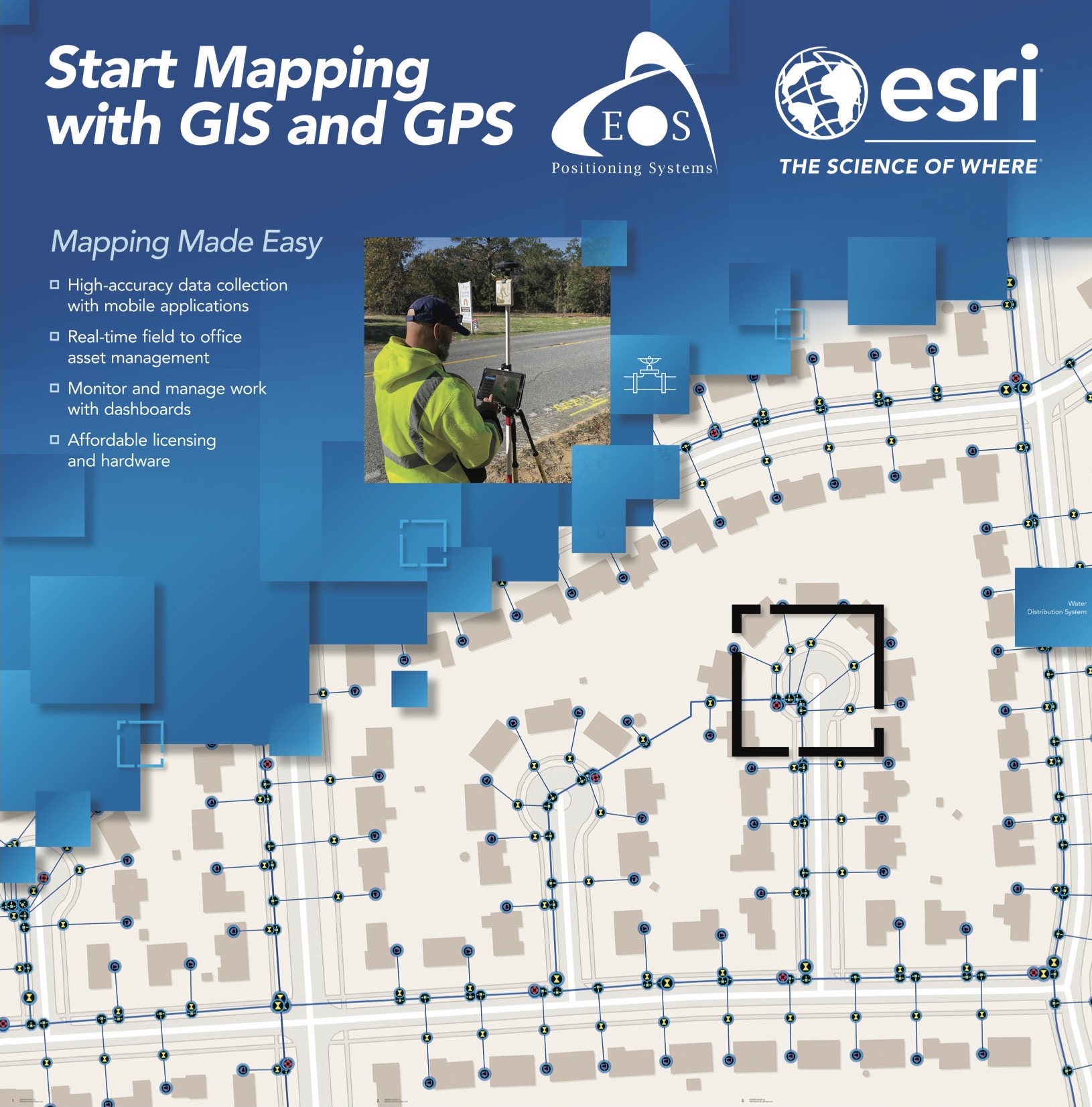
Our booth will look like this:


Our Conference Sessions
The Eos team will be participating in the following sessions during the conference. Please join us for some informative discussion.
Session 1: Web GIS: Enabling Digital Maps & GPS Field Data Collection
Nov 20, 2024 / 2:45 pm - 3:30 pm |
TBD
Today's utilities face the inevitable challenge of having to accomplish more with less. This presentation will discuss how WebGIS enables digital mapping and applications that support daily field-to-office workflows. We will present GIS-based mobile applications paired with GPS receivers, enabling the ability to collect accurate asset location as well as view and share data. In addition, we will show how data collected during field work can be used in dashboards to support monitoring daily activity and analytics for data driven decision making. Lastly, we will introduce the basics of GPS and what is needed to get high accuracy, specifically covering options available for improving GPS locations in South Carolina. Then, we will discuss how to pair mobile devices to GPS and introduce basic GIS mobile applications for data collection. Finally, we’ll show real-world use cases demonstrating how accurate, digital maps can bring greater efficiency to real rural water systems trying to do more with less.
- Dan Zylstra, Eos Positioning Systems
- Randall Jones, Esri


