Eos Positioning Systems at INTERGEO 2018: A GPS World Interview
Synopsis
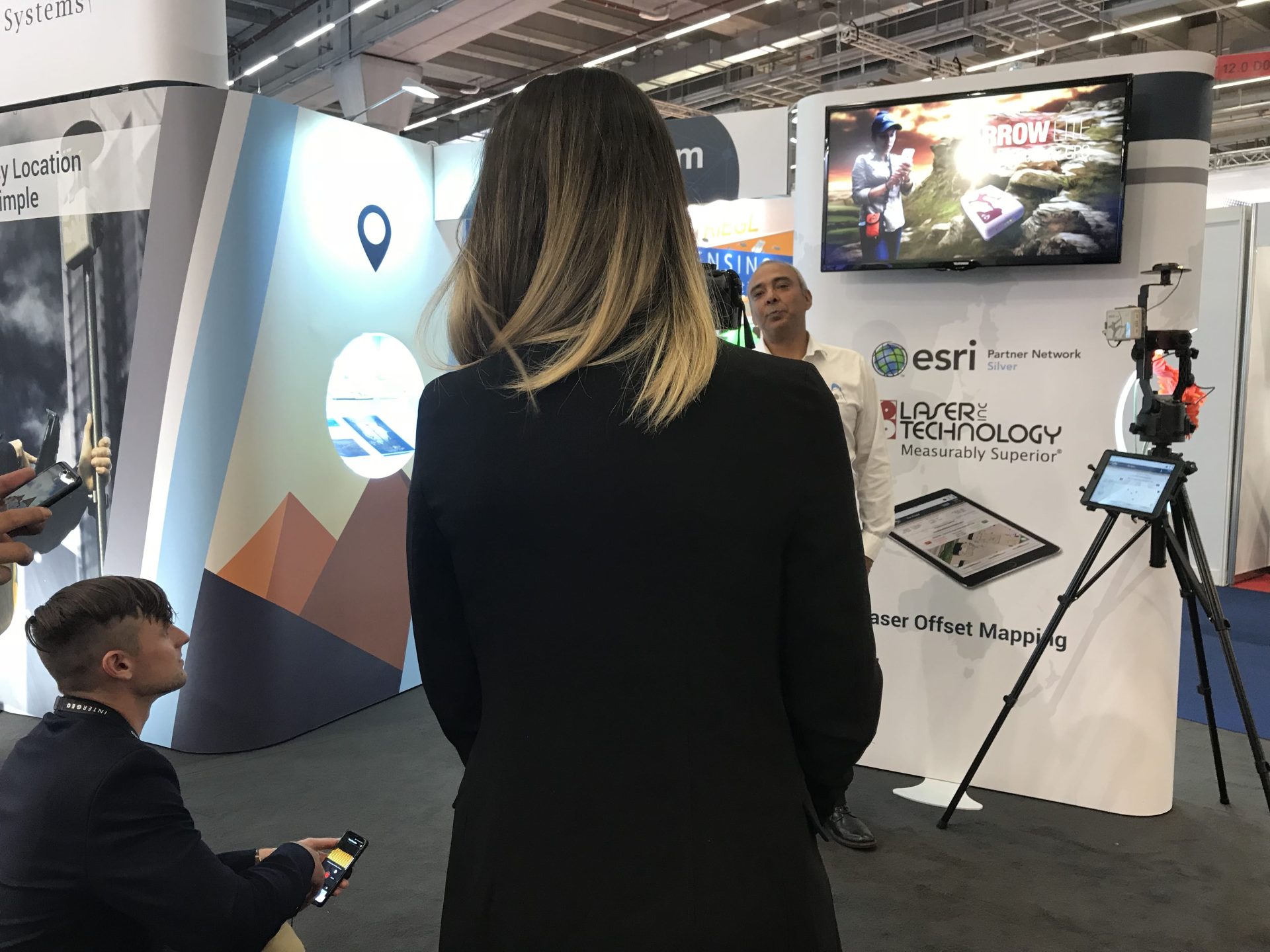
During the 2018 INTERGEO event in Frankfurt, Germany, GPS World interviewed our own CTO, Jean-Yves Lauture. In this video — “Eos Positioning Systems at INTERGEO 2018: A GPS World Interview”, Lauture explains the two latest developments, Laser Mapping and GEOID height support, that Eos released prior to INTERGEO.

Transcript for “Eos Positioning Systems at INTERGEO 2018: A GPS World Interview”
[Music]
My name is Jean-Yves with Eos Positioning Systems (Eos), based in Canada.
We are manufacturers of high-precision GNSS receivers, mainly for the mapping community. Our receivers are also for applications that require real-time and accurate location information.
They can be imported into any app or any workflow.
Introducing Laser Mapping
At INTERGEO 2018, we are presenting a solution that came into the market a bit earlier this year. It’s a laser-mapping system for total station-like applications. 4G is bringing survey type of measurements with laser mapping into the mainstream market. In this case, it comes as an Esri ArcGIS Collector running on iOS®.
With this setup of laser mapping, users can map assets that are either too far away to reach or too dangerous to physically visit, or in GNSS terms – “denied environments.” In these areas, there’s a lot of obstructions which stop us from getting accurate data that’s needed. With this new device, you can capture the objects and assets from far away, while maintaining the accuracy — whether it’s for forestry applications or water valves on roads. There are many applications of laser mapping.
Our lasers can be used for three primary purposes. They are:
- Standard measurement: Here we measure distance azimuth and inclination.
- Range intersect measurement: Here using the receiver you get a control point and map the assets. A second control is also marked, and another asset is mapped. The intersection of these two control points gives you the range intersect measurement result.
- Used as an encoder: In this case, the angular measurement that we calibrated with “true north” is set to go directly into a GIS application. An example of this application of the laser is when it provides total station-like accuracies in a GIS environment.
Introducing Support for Geoid Models
This year we introduced support for GEOID models. We’re started with Canada and the U.S., but will be adding more geographic locations constantly.
For example, with the GEOID 12b, designed for the U.S., a lot of our users wanted to have accurate orthometric height. And that’s exactly what it did.
We brought this type of elevation accuracy — normally reserved for the survey industry — into the GIS community.
We’re going to be adding more GEOID models, based on our users in other countries, over the next couple of months.
We welcome you to visit our website, which is eos-gnss.com.
You’ll find a lot of articles, including how-to guides and directional material, there. You’ll also find case studies and success stories. And feel free to subscribe to our newsletter.
Thank you.
[Music]