Are you struggling with how to stay productive with inconsistent RTK coverage during field work? Eos will help you learn how to troubleshoot this common issue even in the most unreliable areas
This is a question that Eos RTK users have been asking us for several years. There is nothing more frustrating than being at the end of a work day, trying to collect those last few points, and your Correction Age starts to get flaky. For RTK to work effectively, it requires a stable wireless connection (usually via internet from your mobile device) between mobile RTK receiver and a RTK Network or RTK Base. The quality of the connection from RTK Network/Base to the RTK rover is measured by the Correction Age. In this article, we’ll explore how knowing more about the Correction Age can help you know how to stay productive with inconsistent RTK coverage.
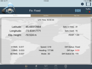
The Correction Age is the time it takes for the RTK Network (or RTK Base) data to reach your RTK receiver. For reliable RTK accuracy (1-2 centimeters), the RTK Correction Age should ideally be two seconds or less. When Correction Age starts to increase to 4, 5, 6 seconds or more, this is a sure sign of inconsistent wireless connectivity.

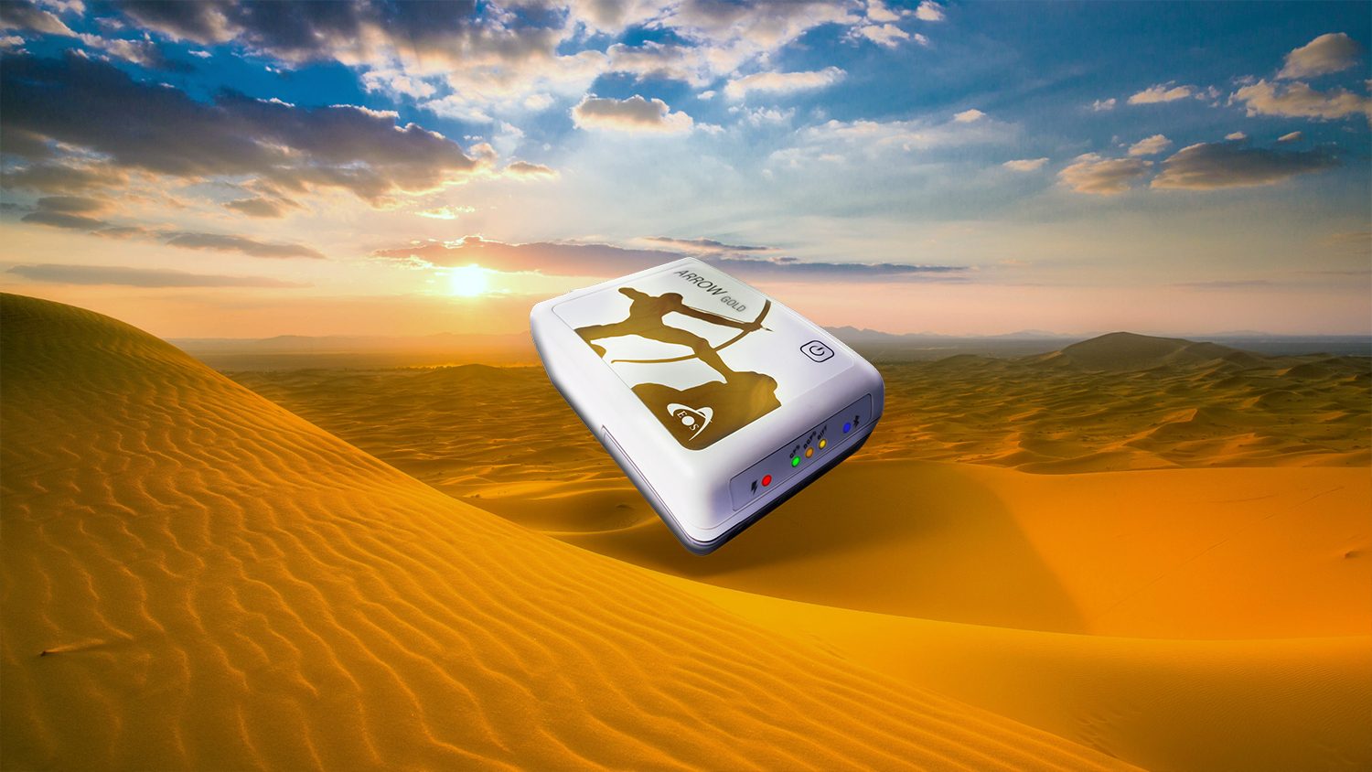
Historically, there’s not much an RTK user could do in a situation where wireless connectivity is flaky. There are hardware solutions like an “RTK Bridge” that attempt to solve this problem, or the user can attempt to post-process their data. However, both of those solutions require a sizeable investment in hardware or software and training, as well as preparation. As RTK is deployed to a broader group of users across many industries and becomes just another tool in the GIS technician’s toolbox, simpler solutions are required. To solve this problem, we’ve incorporated SafeRTK® in our latest RTK GNSS receiver, the Arrow Gold.
SafeRTK® is an innovative feature that allows RTK users to work effectively in areas where wireless connectivity is inconsistent. SafeRTK® is a feature of the Arrow Gold that switches seamlessly between RTK Network and satellite corrections while maintaining the same reference datum as the RTK Network. As a standard feature in our Arrow Gold, SafeRTK® takes over in approximately five seconds after wireless and RTK Network connectivity is lost, ensuring the user can continue to work without interruption. When wireless connectivity is resumed, the Arrow Gold switches back to RTK Network. Since the transition is seamless, the user isn’t interrupted at all so productivity is not affected.
SafeRTK® can take over for up to 20 minutes per incident for several events per day. If RTK Network connectivity is regained, even for a minute, the 20-minute timer is reset. This is perfect for environments where wirelessly connectivity is spotty and suffers temporary interruption. For longer interruptions, say 15 minutes, the accuracy degrades by a few centimeters until RTK Network connectivity is resumed. If the user requires more than 20 minutes of RTK fill-in, they can subscribe to the Atlas satellite service for unlimited, world-wide usage. In that scenario, Atlas will deliver 8 cm accuracy.
Eos has been focused on bringing inexpensive, convenient, RTK centimeter accuracy to all iOS®, Android and Windows users. SafeRTK® is the next generation in making RTK accuracy convenient and seamless for all GIS users.


