The Three-Way Partnership will enable Field Crews to Collect Centimeter-Accurate 3D Data in GNSS-Impaired Environments
MONTREAL, CANADA — Eos Positioning Systems, Inc.® (Eos) — the world’s leading manufacturer of affordable high-accuracy GNSS receivers for any device or app — announced today its release of the world’s first laser offset solution within the Esri® ArcGIS Collector® workflow.
When combined with Laser Technology, Inc.’s (LTI) laser rangefinders, the solution will allow field crews to capture centimeter-accurate 3D locations of hard-to-reach assets and in GNSS-impaired environments.
“By combining the high-accuracy of the Eos Arrow Series® GNSS receivers and the laser capabilities of LTI, we can empower field crews to capture highly accurate XYZ coordinates from a safe distance,” LTI Sr. Product Manager Derrick Reish said. “This eliminates the need for physically occupying every point. It also provides more accurate location data, with a more affordable mobile asset-management workflows.”
The solution has been in the works for months, as demand has grown for hard-to-reach, high-accuracy mapping within the Collector workflow.
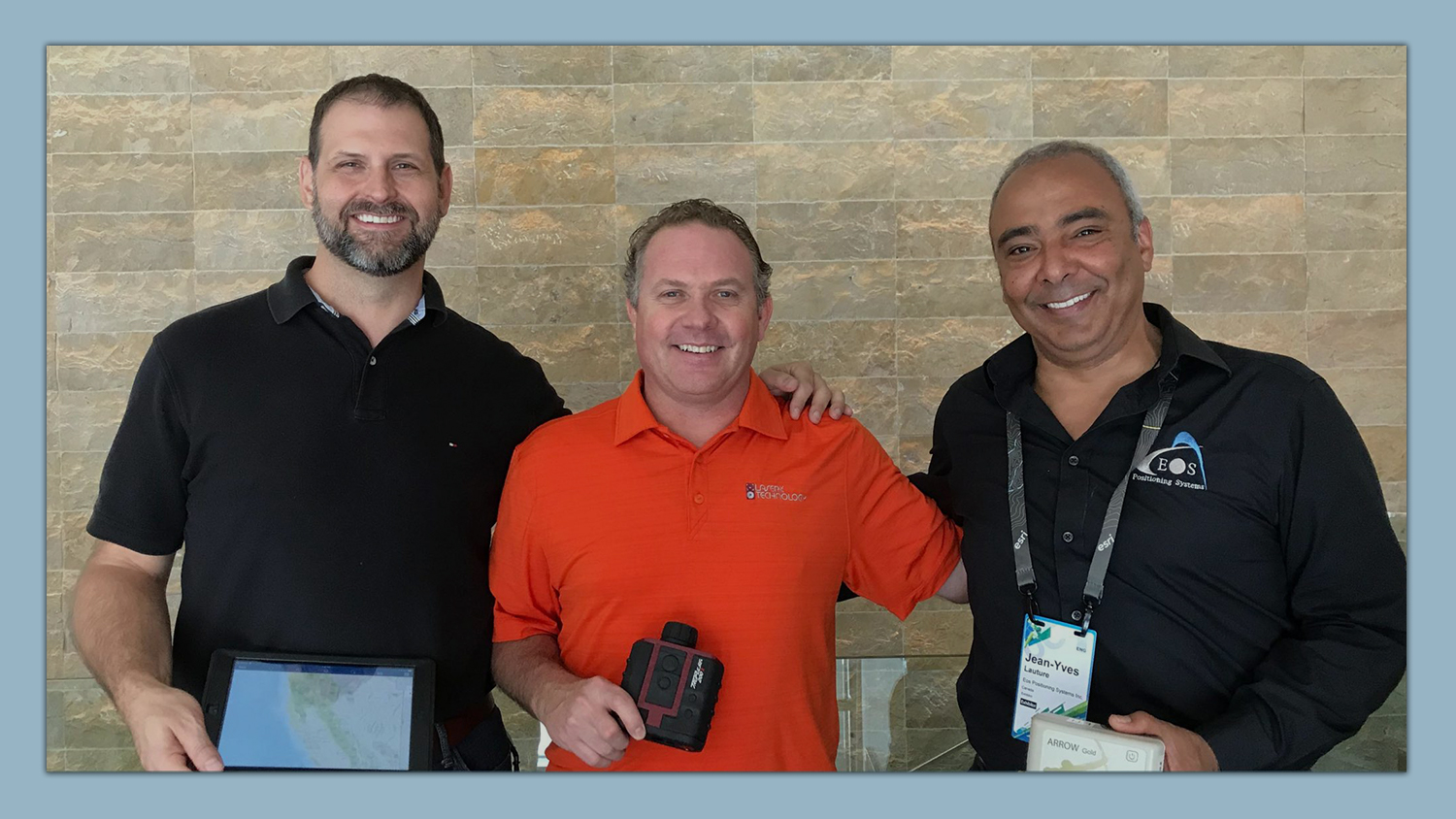
“Eos is extremely grateful to be a part of this initial release in high-accuracy asset location data with LTI’s laser rangefinders and Esri’s Collector mobile app,” Eos CTO Jean-Yves Lauture said. “Enabling this kind of accuracy means even the most budget-conscious field crews will be able to access the location of their hard-to-reach assets.”
All three teams have been working closely to ensure a seamless integration with Collector and ArcGIS Online. When using an LTI laser rangefinder and an Eos Arrow Series® receiver with Collector, a field worker can easily shoot, capture, and share high-accuracy 3D location data that is streamed into ArcGIS Online in real-time.
The solution is expected to be particularly useful in urban corridors, highway settings, forested (or wetlands) areas, and other areas where assets are hard or dangerous to occupy. This will both increase accuracy and efficiency, as well as decrease safety liabilities in dangerous situations.
“Esri is extremely pleased that Collector can now support the capture of high-accuracy asset locations from afar, leveraging our unique partnership with both Eos and LTI,” Esri Product Manager Jeff Shaner said. “This is a game changer for asset management.”

“This eliminates the need for physically occupying every point. It also provides more accurate location data, with a more affordable mobile asset-management workflows.”
— Derrick Reish, Sr. Product Manager, Laser Technology Inc.

“Esri is extremely pleased that Collector can now support the capture of high-accuracy asset locations from afar. This is a game changer for asset management.”
— Jeff Shaner, Product Manager, Esri

“Enabling this kind of accuracy means even the most budget-conscious field crews will be able to access the location of their hard-to-reach assets.”
— Jean-Yves Lauture, CTO, Eos Positioning Systems
Prior to this release, field crews challenged with capturing high-accuracy 3D locations for hard-to-reach assets would need to use a total station with a different software workflow and then mesh the data back in the office, a clumsy and inefficient workflow requiring lots of additional training and expertise. With the new workflow, field crews can operate in GNSS-impaired environments at a high-accuracy level without leaving the Collector/AGOL environment, creating a highly efficient workflow.
The solution has been designed to provide several offset-mapping methods.
“The implementation of several measurement methods gives users the freedom of choice, so they can pick the right laser option which meets their accuracy needs,” Reish said.
Eos will unveil its offset measurement solution for Collector at the upcoming Esri User Conference in San Diego. For a field demonstration of how the solution works, you are welcomed to visit Eos at booth #1019 during the conference,
You are also invited to attend the following session at the Esri UC:
- Wednesday, 10:00 am: LaserGIS for Everyone: How to Combat Costly and Tedious Data Collection Workflows.
About Esri
Esri, the global market leader in geographic information system (GIS) software, offers the most powerful mapping and spatial analytics technology available. Since 1969, Esri has helped customers unlock the full potential of data to improve operational and business results. Today, Esri software is deployed in more than 350,000 organizations including the world’s largest cities, most national governments, 75 percent of Fortune 500 companies, and more than 7,000 colleges and universities. Esri engineers the most advanced solutions for digital transformation, the Internet of Things (IoT), and location analytics to inform the most authoritative maps in the world. Visit us at esri.com.
Esri, ArcGIS, and esri.com are trademarks, service marks, or registered marks of Esri in the United States, the European Community, or certain other jurisdictions. Other companies and products or services mentioned herein may be trademarks, service marks, or registered marks of their respective mark owners.
About Laser Technology, Inc.
Laser Technology Inc. (LTI) is a Colorado-based manufacturer devoted to the design and manufacture of innovative laser-based measurement instruments. The Professional Measurement division addresses real-world needs and applications for the GIS, forestry, mining, utilities and surveying markets. LTI is the clear leader of pulse-measurement technology and has a strong, worldwide partner and distribution network. Visit www.lasertech.com for additional information.
About Eos Positioning Systems, Inc.
Eos Positioning Systems®, Inc. (Eos) designs and manufactures the world’s premier, high-accuracy GPS / GNSS receivers for the Bring Your Own Device (BYOD) market. The Arrow Series® receivers feed submeter, subfoot and centimeter RTK GPS / GNSS location data to any iOS®, Android, and Windows device. Free Eos software utilities, such as Eos Tools Pro, were designed to provide users with the smoothest experience of integrating high-accuracy location data and metadata into their mobile workflows.